Lough Aleenaun
Located in County Clare, Munster Coordinates: 53°00′25″ N 9°07′05″ W
- Elevation
- 80 m
- above sea level
- Local time
- UTC+00:00
- Europe/Dublin · UTC+00:00
About Lough Aleenaun
Lough Aleenaun is a lake. Location: County Clare, Munster. Elevation: 80 m.
In comparison
- 24 sights and natural places within 10 km Clooneen River, Caherconnell Stone Fort
Nearest towns and villages
Nearby attractions & nature
Everything nearby-
Glasgeivnagh Hill Mountain, County Clare5.1 km E
-
Clifden Hill Mountain, County Clare6.2 km S
-
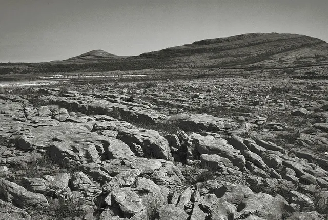 Mullagh More Mountain, County Clare8 km E
-
The Burren National Park Natural site, County Clare5.5 km E
-
Knockalunkard Mountain, County Clare6.8 km S
-
Clooneen River River, County Clare3.7 km SW
-
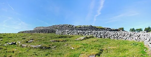 Caherconnell Stone Fort Historic site, County Clare4.1 km N
-
Inchiquin Lough Lake, County Clare6.1 km S
Sources & licences
Data last updated: