Ballincollig
Local name: Baile an Chollaigh
Located in County Cork, Munster Coordinates: 51°53′00″ N 8°35′00″ W
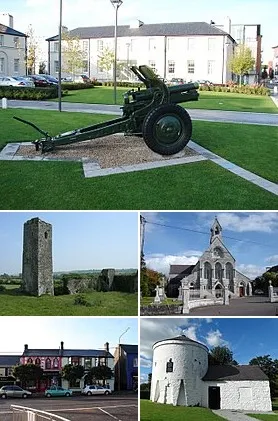
- Population
- 18,621
- 18.6K
- Elevation
- 27 m
- above sea level
- Local time
- UTC+00:00
- Europe/Dublin · UTC+00:00
About Ballincollig
Ballincollig is a town. Location: County Cork, Munster. Population: 18,621. Elevation: 27 m.
Ballincollig (Irish: Baile an Chollaigh) is a suburban town within the administrative area of Cork city in Ireland. It is located on the western side of Cork city, beside the River Lee on the R608 road. In 2016 it was the largest town in County Cork, at which time the Ballincollig Electoral Division had a population of 18,621 people. At around 8 km west of the centre of Cork city, it is located beyond the green belt from the suburbs of Bishopstown and Wilton.
Read more on Wikipedia Text: Wikipedia contributors · CC BY-SA 4.0 · shortened
In comparison
- No. 3 of 121 places in County Cork by population
- Nearest larger town: Cork, 8 km E
- 23 sights and natural places within 10 km Shournagh River, Templehill
Nearby attractions & nature
Everything nearby-
Templehill Mountain, County Cork2.3 km NW
-
Shournagh River River, County Cork1.9 km NE
-
Roaninish Island, County Cork3 km SE
-
River Bride River, County Cork3.4 km W
-
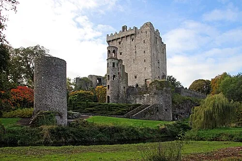 Blarney Castle Historic site, County Cork5.2 km N
-
Crossnacroha Mountain, County Cork5.4 km SE
-
Blarney River River, County Cork4.8 km N
-
Tullig Mountain, County Cork7.3 km SE
Other cities and towns in County Cork
-
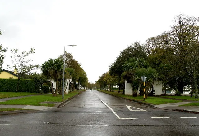 Carrigaline Town, County Cork15 km SE
-
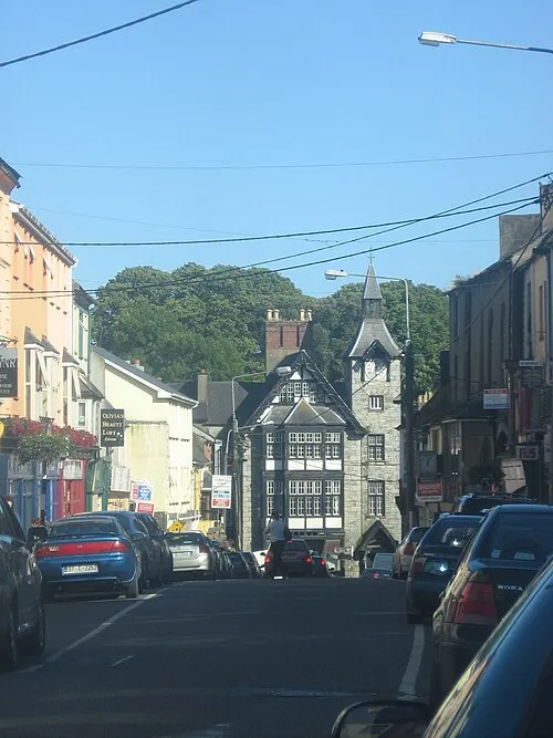 Mallow Town, County Cork28 km N
-
Cork City, County Cork7.9 km E
-
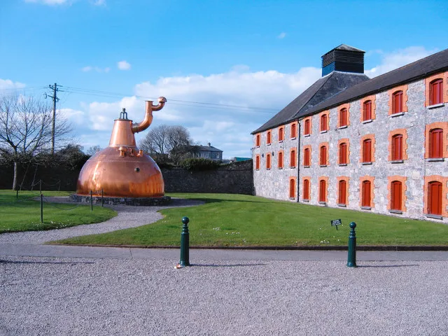 Midleton Town, County Cork28 km E
-
Douglas Town, County Cork10 km E
-
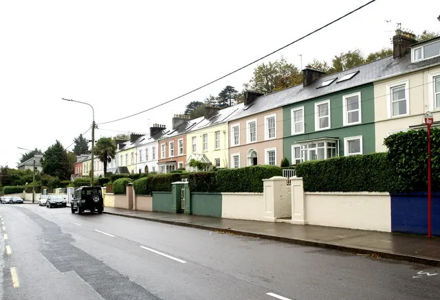 Passage West Town, County Cork17 km E
Sources & licences
Data last updated: · 2 independent sources