Kilbolane Castle
Located in County Cork, Munster Coordinates: 52°20′19″ N 8°51′02″ W
- Local time
- UTC+00:00
- Europe/Dublin · UTC+00:00
- Elevation
- 132 m
- above sea level
About Kilbolane Castle
Kilbolane Castle is a historic site. Location: County Cork, Munster.
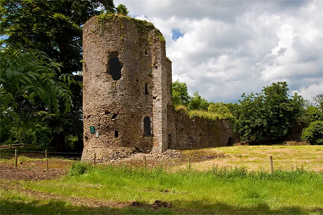
Kilbolane Castle is a historical fortification atop Kilbolane Hill, half a kilometre from the village of Milford, County Cork, Ireland. The castle was built in the 15th or 16th century but employed a 13th-century Norman style with high walls joined by circular guard towers and surrounded by a moat, similar to Liscarroll and Ballincollig. The castle grounds were church property of the Bishop of Cloyne, from whom it was held, according to the Pipe Roll of Cloyne, in 1291.
Read more on Wikipedia Text: Wikipedia contributors · CC BY-SA 4.0 · shortened
In comparison
- 7 sights and natural places within 10 km Deel River, Mullaheera River
Nearby attractions & nature
Everything nearby-
Lishen Castle Historic site, County Cork2.6 km SW
-
Deel River River, County Cork1.7 km S
-
Mullaheera River River, County Cork2.1 km SE
-
Ballynaluckeen Mountain, Limerick5.3 km W
-
Woodmore Hill Mountain, County Cork9.5 km SE
-
Glenwilliam Castle Historic site, Limerick11 km N
-
Fort Edmond Historic site, Limerick12 km NE
-
Corronoher Mountain, Limerick10 km N
Nearest towns and villages
-
Milford Village, County Cork0.8 km W
-
Dromcolliher Village, Limerick3.9 km W
-
Bowenford Cross Roads Village, County Cork2.1 km S
-
Dromcollogher Village, Limerick3.9 km W
More sights in County Cork
-
Kilcolman Castle Historic site, County Cork19 km SE
-
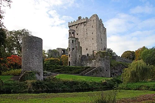 Blarney Castle Historic site, County Cork49 km SE
-
Carrigacunna Castle Historic site, County Cork32 km SE
-
Mitchelstown Castle Historic site, County Cork39 km E
-
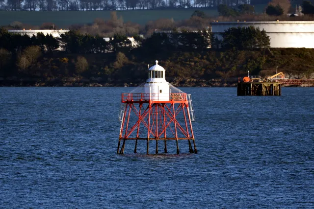 Spit Bank Lighthouse Landmark, County Cork68 km SE
-
Cregg Castle Historic site, County Cork42 km SE
Sources & licences
Data last updated: · 2 independent sources