Ballylongford
Local name: Béal Átha Longfoirt
Located in County Kerry, Munster Coordinates: 52°32′45″ N 9°28′44″ W
- Population
- 418
- 418
- Elevation
- 6 m
- above sea level
- Local time
- UTC+00:00
- Europe/Dublin · UTC+00:00
About Ballylongford
Ballylongford is a village. Location: County Kerry, Munster. Population: 418. Elevation: 6 m.
Ballylongford (historically Bealalongford, from Irish: Béal Átha Longfoirt, meaning 'ford-mouth of anchorage') is a village near Listowel in northern County Kerry, Ireland. As of the 2022 census, it had a population of 415.
Read more on Wikipedia Text: Wikipedia contributors · CC BY-SA 4.0 · shortened
In comparison
- No. 26 of 50 places in County Kerry by population
- Nearest larger town: Tarmon, 7 km E
- 18 sights and natural places within 10 km Aghanagran River, Gorinacooka Bridge
Nearby attractions & nature
Everything nearby-
Aghanagran River River, County Kerry0.4 km N
-
Gorinacooka Bridge Landmark, County Kerry1.5 km S
-
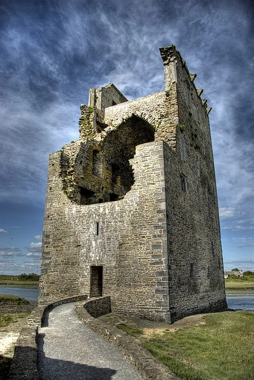 Carrigafoyle Castle Historic site, County Kerry2.9 km N
-
Carrig Bridge Landmark, County Kerry1.8 km N
-
Carrig Island Island, County Kerry3.6 km N
-
Ballylongford Bay Natural site, County Kerry3 km N
Sources & licences
Data last updated: · 2 independent sources