Carrauntoohill
Local name: Corrán Tuathail
Located in County Kerry, Munster Coordinates: 51°59′56″ N 9°44′34″ W
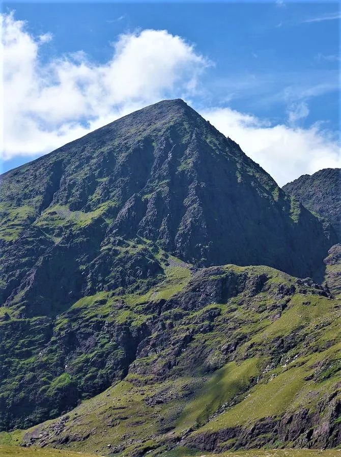
- Elevation
- 1,038 m
- above sea level
- Local time
- UTC+00:00
- Europe/Dublin · UTC+00:00
About Carrauntoohill
Carrauntoohill is a mountain. Location: County Kerry, Munster. Elevation: 1,038 m.
Carrauntoohil, Carrauntoohill or Carrantuohill (, KARR-ən-TOO-əl; Irish: Corrán Tuathail [ˌkɔɾˠaːn̪ˠ ˈt̪ˠuəhəlʲ], meaning "Tuathal's sickle") is the highest mountain in Ireland at 1,038.6 metres (3,407 feet 6 inches). It is on the Iveragh Peninsula in County Kerry, close to the centre of Ireland's highest mountain range, MacGillycuddy's Reeks.
Read more on Wikipedia Text: Wikipedia contributors · CC BY-SA 4.0 · shortened
At a glance
- Topographic prominence
- 1,039 m
Source: Wikidata
In comparison
- Highest of 2106 mountains in Ireland
- 89 sights and natural places within 10 km Na Cnamha, Hag's Tooth
Airports nearest to Carrauntoohill
- Kerry Airport (KIR) Farranfore 25 km
- Cork International Airport (ORK) Cork 88 km
- Shannon Airport (SNN) Shannon 96 km
Straight-line distance; airports with scheduled flights only. Source: OurAirports (public domain).
Nearest towns and villages
-
Maghanlawaun Village, County Kerry3.9 km SW
-
Knocknafreaghaun Village, County Kerry4.2 km NE
-
Cockow Village, County Kerry4.3 km S
-
Kill Village, County Kerry5.4 km N
-
Shannera Lower Village, County Kerry6.7 km N
-
Inchinglanna Village, County Kerry6.8 km S
Nearby attractions & nature
Everything nearby-
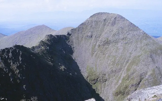 Beenkeragh Mountain, County Kerry0.9 km N
-
Na Cnamha Mountain, County Kerry0.4 km NW
-
Hag's Tooth Mountain, County Kerry0.8 km NE
-
Cnoc Broinne (mullach thiar) Mountain, County Kerry1.5 km N
-
Caher Mountain, County Kerry1.2 km SW
-
Cnoc na Toinne Mountain, County Kerry1.2 km SE
-
Caher West Top Mountain, County Kerry1.4 km W
-
Lough Gouragh Lake, County Kerry1.1 km E
More nature in Ireland
-
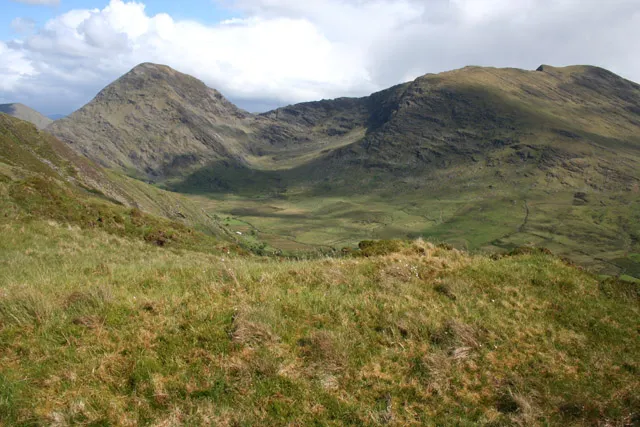 Broaghnabinnia Mountain, County Kerry3 km S
-
Curraghmore Mountain, County Kerry2 km SW
-
Skregmore Mountain, County Kerry2 km NW
-
Skregbeg Mountain, County Kerry3.5 km NW
-
Slievanore Mountain, County Kerry3.8 km W
-
Cnoc Broinne (mullach thoir) Mountain, County Kerry1.5 km NE
Sources & licences
Data last updated: · 2 independent sources