Inishtooskert
Local name: Inis Tuaisceart
Located in County Kerry, Munster Coordinates: 52°07′52″ N 10°34′41″ W
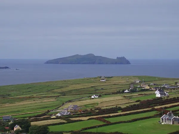
- Elevation
- 125 m
- above sea level
- Local time
- UTC+00:00
- Europe/Dublin · UTC+00:00
About Inishtooskert
Inishtooskert is an island. Location: County Kerry, Munster.
Inis Tuaisceart (sometimes spelled Inishtooshkert) (Inis Tuaisceart in Irish) is the northernmost of the Blasket Islands, County Kerry, Ireland.
Read more on Wikipedia Text: Wikipedia contributors · CC BY-SA 4.0 · shortened
At a glance
- Topographic prominence
- 172 m
Source: Wikidata
In comparison
- 19 sights and natural places within 10 km Saint Brendan’s Oratory, Carrigfadda
Nearest towns and villages
Nearby attractions & nature
Everything nearby-
Saint Brendan’s Oratory Attraction, County Kerry1.6 km S
-
Slievedonagh Mountain, County Kerry4.9 km SE
-
Croughmore Mountain, County Kerry5.2 km S
-
Carrigfadda Island, County Kerry4 km SE
-
An Cro Mor Mountain, County Kerry5.1 km S
-
Great Blasket Island Island, County Kerry4.7 km SE
-
Beginish Island, County Kerry5 km E
-
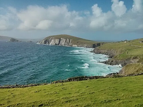 Dunmore Head Natural site, County Kerry7 km E
Sources & licences
Data last updated: · 2 independent sources