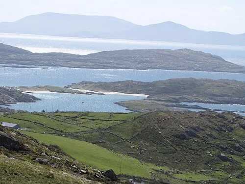
Lamb’s Island
Located in County Kerry, Munster Coordinates: 51°46′03″ N 10°09′10″ W
- Elevation
- 38 m
- above sea level
- Local time
- UTC+00:00
- Europe/Dublin · UTC+00:00
About Lamb’s Island
Lamb’s Island is an island. Location: County Kerry, Munster.
In comparison
- 34 sights and natural places within 10 km Abbey Island, Beenarourke
Nearest towns and villages
-
Derrynane Village, County Kerry2.2 km E
-
Caherdaniel Village, County Kerry3.6 km E
-
Waterville Village, County Kerry7.4 km N
-
Toor Village, County Kerry3.7 km N
-
Bucslikane Bridge Village, County Kerry5.4 km N
-
West Cove Village, County Kerry5.4 km E
Nearby attractions & nature
Everything nearby-
Abbey Island Island, County Kerry0.7 km S
-
 Beenarourke Mountain, County Kerry1.7 km NW
-
Farraniaragh Mountain Mountain, County Kerry1.8 km N
-
Derrynane Beach Beach, Munster2.2 km SE
-
Cahernageeha Mountain Mountain, County Kerry3.2 km NE
-
Knockstooka Mountain, County Kerry3.3 km NW
-
Eagle Hill Mountain, County Kerry2.7 km SE
-
Lambs Head Natural site, County Kerry2.8 km SE
Sources & licences
Data last updated: