Maharees
Located in County Kerry, Munster Coordinates: 52°15′21″ N 10°01′21″ W
- Elevation
- 10 m
- above sea level
- Local time
- UTC+00:00
- Europe/Dublin · UTC+00:00
About Maharees
Maharees is a village. Location: County Kerry, Munster. Elevation: 10 m.
Maharees or Magharees (Irish: An Machaire or Na Machairí) is a 5 km long tombolo located on the northern side of the Dingle Peninsula in County Kerry, Ireland. Fenit Harbour, the main port of County Kerry, is sheltered from large Atlantic swells by the Maharees. To the north of the Maharees lie the Magharee Islands or Seven Hogs, the largest of which, Oileán t-Seanaigh/Illauntannig, contains remnants of an early Christian monastic settlement, said to have been founded by St. Senan in the 7th century AD.
Read more on Wikipedia Text: Wikipedia contributors · CC BY-SA 4.0 · shortened
In comparison
- Nearest larger town: Castlegregory, 0 km S
- 37 sights and natural places within 10 km Lough Gill, Carrigadav
Nearby attractions & nature
Everything nearby-
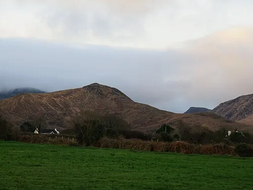 Carrigadav Mountain, County Kerry3.8 km S
-
Lough Gill Lake, County Kerry1.6 km NW
-
Cnoc an tSraidbhaile Mountain, County Kerry5.4 km SW
-
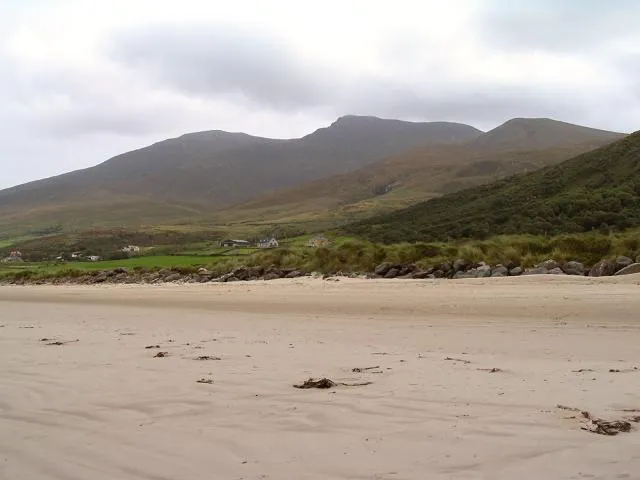 Beenoskee Mountain, County Kerry6 km SW
-
Doon Mountain, County Kerry5.6 km S
-
An Com Ban Mountain, County Kerry6.8 km SW
Sources & licences
Data last updated: · 2 independent sources