Owengarriff River
Located in County Kerry, Munster Coordinates: 52°00′00″ N 9°31′00″ W
- Elevation
- 297 m
- above sea level
- Local time
- UTC+00:00
- Europe/Dublin · UTC+00:00
About Owengarriff River
Owengarriff River is a river. Location: County Kerry, Munster.
In comparison
- 94 sights and natural places within 10 km Torc Mountain, Torc Mountain W Top
Nearest towns and villages
-
Killarney Town, County Kerry6.7 km N
-
Muckross Abbey Village, County Kerry3.3 km NE
-
Abbey Cross Village, County Kerry3.8 km NE
-
Cloghereen Neighbourhood, County Kerry4.3 km NE
-
Ardagh Neighbourhood, County Kerry4.5 km NE
-
Owgarrif Bridge Village, County Kerry4.8 km E
Nearby attractions & nature
Everything nearby-
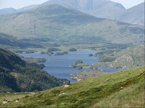 Torc Mountain Mountain, County Kerry0.4 km SW
-
Torc Cascade Natural site, County Kerry1.1 km E
-
Torc Mountain W Top Mountain, County Kerry1 km W
-
The Long Range River, County Kerry2.3 km W
-
Cores Cascade Natural site, County Kerry3.3 km SW
-
Cromaglan Mountain Mountain, County Kerry4.2 km SW
-
Killarney National Park Natural site, Ireland2.9 km W
-
Stumpacommeen Mountain, County Kerry4.4 km SW
Sources & licences
Data last updated: