Skellig Michael
Local name: Sceilig Mhichíl
Located in County Kerry, Munster Coordinates: 51°46′17″ N 10°32′23″ W
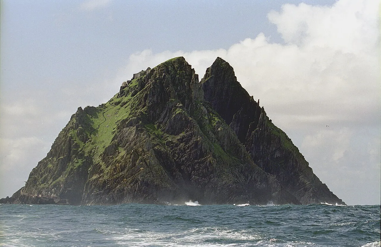
- Elevation
- 124 m
- above sea level
- Local time
- UTC+00:00
- Europe/Dublin · UTC+00:00
About Skellig Michael
Skellig Michael is an island. Location: County Kerry, Munster.
Skellig Michael (Irish: Sceilig Mhichíl [ˌʃcɛlʲəɟ ˈvʲɪçiːlʲ]), also called Great Skellig (Irish: Sceilig Mhór [ˈʃcɛlʲəɟ woːɾˠ]), is a twin-pinnacled crag 11.6 kilometres (7.2 mi) west of the Iveragh Peninsula in County Kerry, Ireland. The island is named after the archangel Michael; while "Skellig" is derived from the Irish language word sceilig, meaning a splinter of stone. Its twin island, Little Skellig (Sceilig Bheag), is smaller and inaccessible. The two islands were formed c.
Read more on Wikipedia Text: Wikipedia contributors · CC BY-SA 4.0 · shortened
At a glance
- Heritage designation
- World Heritage Site, national monument of Ireland
- Length
- 0.8 km
- Area
- 22 ha
Source: Wikidata
In comparison
- 3 sights and natural places within 10 km Great Skellig, Skellig Light
Nearest towns and villages
-
Portmagee Village, County Kerry18 km NE
-
Ballinskelligs Village, County Kerry19 km E
-
Ducalla Village, County Kerry14 km E
-
Ballynahow Village, County Kerry15 km NE
-
Lamanagh Village, County Kerry16 km NE
-
Chapeltown Village, County Kerry21 km NE
Nearby attractions & nature
Everything nearby-
Great Skellig Mountain, County Kerry0.2 km SW
-
Skellig Light Landmark, County Kerry0.3 km S
-
An Sceilg Bheag Mountain, County Kerry2.4 km NE
-
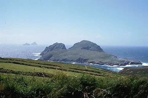 Puffin Island Island, County Kerry11 km NE
-
Canuig Mountain Mountain, County Kerry16 km E
-
Killonecaha Mountain, County Kerry17 km NE
-
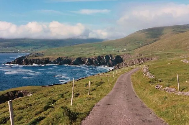 Bolus Head Natural site, County Kerry14 km E
-
Beenaniller Head Natural site, County Kerry16 km NE
Sources & licences
Data last updated: · 2 independent sources