Cloghjordan
Local name: Cloch Shiurdáin
Located in County Tipperary, Munster Coordinates: 52°56′25″ N 8°02′08″ W
- Population
- 612
- 612
- Elevation
- 93 m
- above sea level
- Local time
- UTC+00:00
- Europe/Dublin · UTC+00:00
About Cloghjordan
Cloghjordan is a village. Location: County Tipperary, Munster. Population: 612. Elevation: 93 m.
Cloughjordan, officially Cloghjordan ( klokh-JOR-dən, Irish: Cloch Shiurdáin, meaning 'Siurdán's stone or castle'), is a town in County Tipperary in Ireland. It is in the barony of Ormond Lower, and it is also a parish in the Roman Catholic Diocese of Killaloe. The town is situated in the north-western part of Tipperary close to the border with County Offaly. It is almost equidistant from Nenagh, Roscrea and Birr and is close to Ireland's largest river, the Shannon, and Lough Derg.
Read more on Wikipedia Text: Wikipedia contributors · CC BY-SA 4.0 · shortened
In comparison
- No. 21 of 52 places in County Tipperary by population
- Nearest larger town: Borrisokane, 9 km NW
- 7 sights and natural places within 10 km Screggaun, Lough Nahinch
Nearby attractions & nature
Everything nearby-
Screggaun Mountain, County Tipperary5.4 km SW
-
Lough Nahinch Lake, County Tipperary6.1 km N
-
Noon Hill Mountain, County Tipperary7.6 km W
-
Fort Nisbett Historic site, County Tipperary6.9 km NW
-
Knockshigowna Mountain, County Tipperary8.4 km N
-
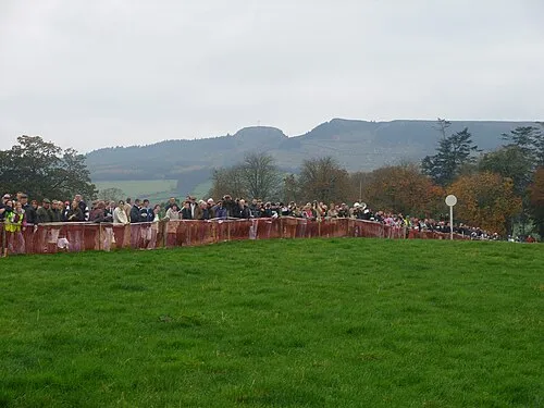 Devilsbit Mountain Mountain, County Tipperary15 km SE
Sources & licences
Data last updated: · 2 independent sources