Burt Castle
Located in County Donegal, Ulster Coordinates: 55°01′11″ N 7°30′08″ W
- Local time
- UTC+00:00
- Europe/Dublin · UTC+00:00
- Elevation
- 55 m
- above sea level
About Burt Castle
Burt Castle is a historic site. Location: County Donegal, Ulster.
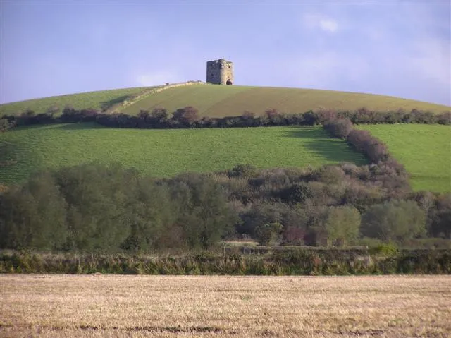
Burt Castle is a ruined castle located close to Newtowncunningham and Burt, two villages in the east of County Donegal in Ulster, Ireland. Historically it was sometimes spelt as Birt Castle. It is also known by the name O'Doherty's Castle, and should not be mistaken for O'Doherty's Keep near Buncrana. The castle was constructed in the sixteenth century during the reign of Henry VIII. It was a traditional stronghold of the O'Doherty's, protecting the southern edge of their Inishowen Lordship.
Read more on Wikipedia Text: Wikipedia contributors · CC BY-SA 4.0 · shortened
In comparison
- 21 sights and natural places within 10 km Castle Hill, Finwall Hill
Nearby attractions & nature
Everything nearby-
Castle Hill Mountain, County Donegal<0.1 km SE
-
Finwall Hill Mountain, County Donegal1.5 km N
-
Cornamount Mountain, County Donegal3.8 km E
-
Bogay Hill Mountain, County Donegal3.8 km SE
-
Grianan of Aileach Historic site, County Donegal4.8 km E
-
Greenan Mountain Mountain, County Donegal4.8 km E
-
Ardnamoyle Mountain, County Donegal5 km E
-
Port Lough Lake, County Donegal4.1 km SE
Nearest towns and villages
-
Newtown Cunningham Village, County Donegal2.8 km SW
-
Carrowen Village, County Donegal1.3 km N
-
Milltown Village, County Donegal1.7 km E
-
Ballymoney Village, County Donegal2 km N
More sights in County Donegal
-
Fort Royal Historic site, County Donegal9.5 km N
-
Tropical World Attraction, County Donegal14 km SW
-
Doe Castle Historic site, County Donegal26 km NW
-
Glenveagh Castle Historic site, County Donegal30 km W
-
Fanad Head Lighthouse Landmark, County Donegal30 km N
-
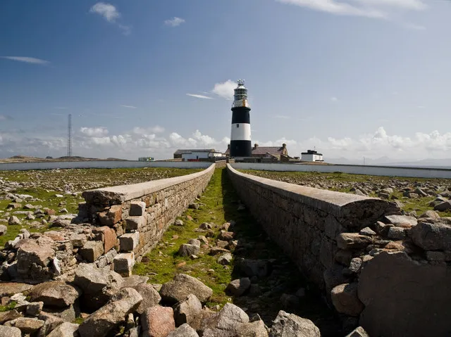 Tory Island Lighthouse Landmark, County Donegal55 km NW
Sources & licences
Data last updated: · 2 independent sources