Crocknadroleen
Located in County Donegal, Ulster Coordinates: 55°05′10″ N 7°39′00″ W
- Elevation
- 221 m
- above sea level
- Local time
- UTC+00:00
- Europe/Dublin · UTC+00:00
About Crocknadroleen
Crocknadroleen is a mountain. Location: County Donegal, Ulster. Elevation: 221 m.
In comparison
- No. 1493 of 2106 mountains in Ireland by elevation
- 32 sights and natural places within 10 km Columbkille Lough, Crockmore
Nearest towns and villages
-
Millford Village, County Donegal3.1 km W
-
Drumacloghan Village, County Donegal1.3 km SE
-
Rathmelton Village, County Donegal5.5 km S
-
Loughros Village, County Donegal2 km SW
-
Garrygort Village, County Donegal2.2 km NW
-
Old Town Village, County Donegal2.6 km SE
Nearby attractions & nature
Everything nearby-
Crockmore Mountain, County Donegal1.7 km N
-
Columbkille Lough Lake, County Donegal1.7 km W
-
Crockanaffrin Mountain, County Donegal2.6 km NE
-
Binnacaghig Mountain, County Donegal4 km N
-
Moyle Hill Mountain, County Donegal4.3 km SW
-
Craigcannon Mountain, County Donegal4.1 km NE
-
Croaghan Hill Mountain, County Donegal4.7 km NE
-
Meskanmeave Mountain, County Donegal5.5 km N
More nature in Ireland
-
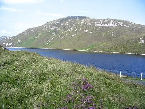 Loughsalt Mountain Mountain, County Donegal9.1 km W
-
Sturrel Mountain, County Donegal6.3 km NW
-
Creeve Hill Mountain, County Donegal7.3 km NE
-
Crockalaght Mountain, County Donegal7.4 km W
-
Devlinmore Hill Mountain, County Donegal9 km NW
-
Inch Top Mountain, County Donegal9 km E
Sources & licences
Data last updated: · 2 independent sources