Inishdooey
Located in County Donegal, Ulster Coordinates: 55°11′33″ N 8°09′52″ W
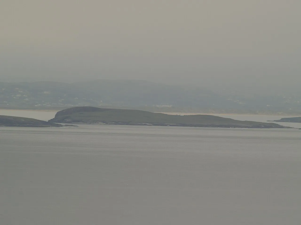
- Elevation
- 21 m
- above sea level
- Local time
- UTC+00:00
- Europe/Dublin · UTC+00:00
About Inishdooey
Inishdooey is an island. Location: County Donegal, Ulster.
Inishdooey (Gaeilge: Inis Dúiche, although local Gaelic speakers know it as Oileán Dúiche, retaining the element ‘Inis’ only for the two nearby islands on either side of it) is a privately owned 96-acre island just off the north-west coast of County Donegal in Ulster, the northern province in Ireland. The island is situated 1 km north of Inishbofin, near Machaire Rabhartaigh (Magheroarty).
Read more on Wikipedia Text: Wikipedia contributors · CC BY-SA 4.0 · shortened
In comparison
- 23 sights and natural places within 10 km Inishbeg, Toberglassan Bay
Nearest towns and villages
-
Meenlaragh Village, County Donegal5.5 km S
-
Falcarragh Village, County Donegal7.8 km SE
-
Gortahork Village, County Donegal8.7 km S
-
Ballyness Village, County Donegal6.4 km SE
-
Meenaclady Village, County Donegal6.8 km SW
-
Brinlack Village, County Donegal11 km SW
Nearby attractions & nature
Everything nearby-
Toberglassan Bay Natural site, County Donegal1.5 km SW
-
Inishbeg Island, County Donegal1.3 km N
-
Inishbofin Island, County Donegal2 km S
-
Erroonagh Bay Natural site, County Donegal2.2 km SW
-
Dooey Natural site, County Donegal4.3 km S
-
Inishbofin Bay Natural site, County Donegal4.7 km S
-
Ballyness Bay Natural site, County Donegal5.5 km S
-
Cnoc na Naomh Mountain, County Donegal6.6 km S
More lakes, rivers and coasts in Ireland
-
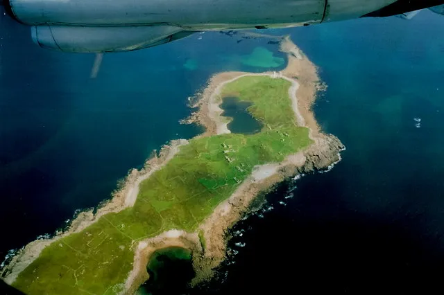 Inishsirrer Island, County Donegal14 km SW
-
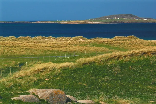 Inishmeane Island, County Donegal15 km SW
-
Ferry’s Lough Lake, County Donegal7.6 km SW
-
Tory Island Island, County Donegal8.8 km NW
-
Drumlesk Lough Lake, County Donegal10 km SE
-
Lough Lagha Lake, County Donegal11 km S
Sources & licences
Data last updated: · 2 independent sources