- Elevation
- 2,793 m
- above sea level
- Local time
- UTC+01:00
- Europe/Rome · UTC+01:00
- Airports
- PSR Abruzzo Airport39 km
- CIA Ciampino–G. B. Pastine International Airport128 km
About Monte Amaro
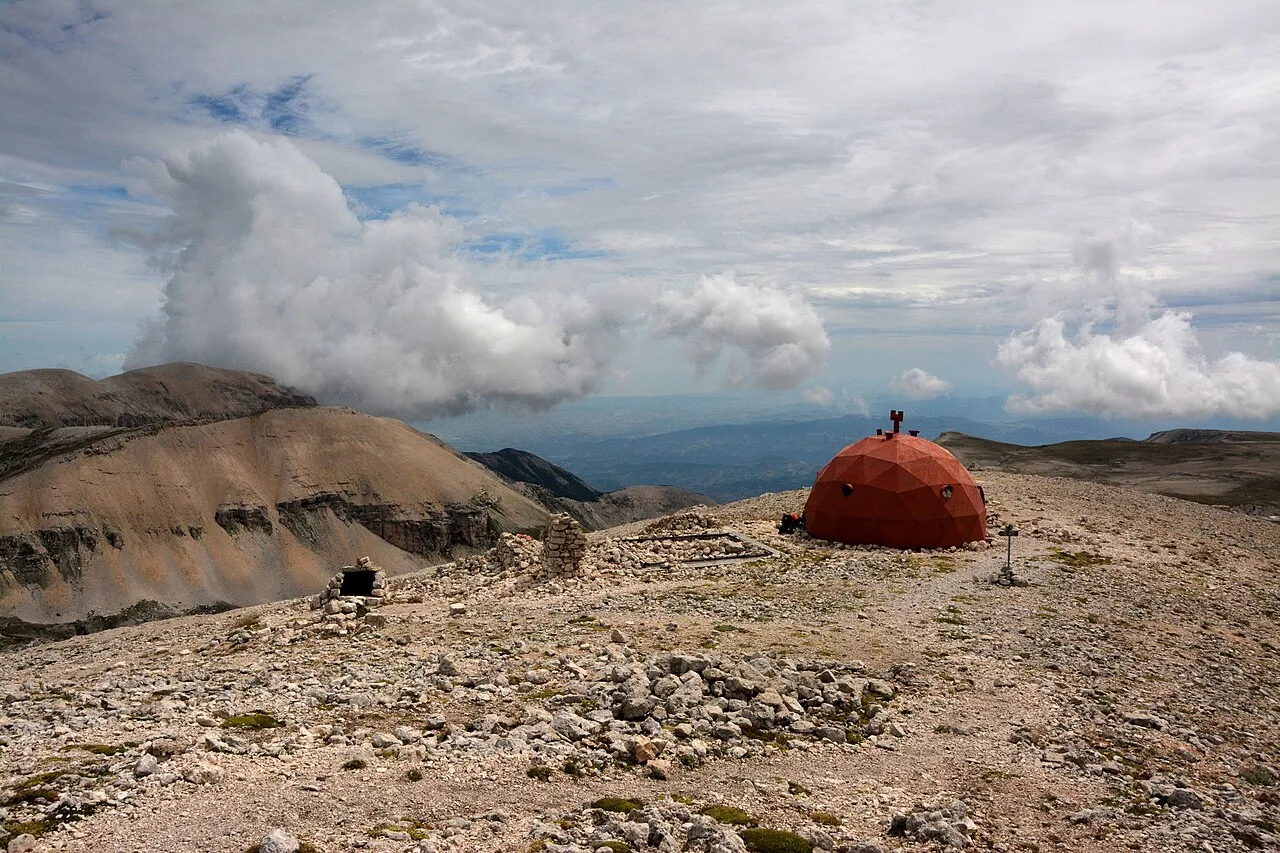
Monte Amaro is a mountain. Location: Pacentro, Province of L'Aquila. Elevation: 2,793 m.
Mount Amaro (2793 m a.s.l.) is the highest mountain peak in the Maiella massif and the second highest in the Abruzzo region and the entire continental Apennines, after Gran Sasso's Corno Grande.
Source: Wikipedia · CC BY-SA 4.0
At a glance
- Topographic prominence
- 1,810 m
Source: Wikidata
Photos of Monte Amaro
-

Luoghidiposa · CC BY-SA 4.0 -

kallerna · CC BY-SA 4.0 -

Bouke ten Cate · CC BY 4.0 -

Pimlico27 · CC BY-SA 4.0 -

Pimlico27 · CC BY-SA 4.0


Climate of Monte Amaro
This month · November
A cold month
Day -2° · Night -7° · Rain 88 mm
- Hottest month
- August (day 12°)
- Coldest month
- February (night -11°)
- Wettest month
- November (88 mm)
- Driest month
- January (51 mm)
Bars: average monthly low and high temperature. Below: precipitation. Monthly averages for 1970–2000 at about 18 km resolution, adjusted for elevation. Highlighted months are mild and relatively dry. Source: WorldClim 2.1 (CC BY 4.0).
Show values as a table
| Month | Jan | Feb | Mar | Apr | May | Jun | Jul | Aug | Sep | Oct | Nov | Dec |
|---|---|---|---|---|---|---|---|---|---|---|---|---|
| Average high (°C) | -6° | -7° | -4° | -1° | 5° | 9° | 12° | 12° | 8° | 3° | -2° | -4° |
| Average low (°C) | -10° | -11° | -10° | -7° | -2° | 1° | 4° | 4° | 1° | -3° | -7° | -9° |
| Precipitation (mm) | 51 | 56 | 57 | 70 | 72 | 65 | 55 | 57 | 77 | 85 | 88 | 64 |
How to get to Monte Amaro
The nearest airport is Abruzzo Airport (PSR), 39 km to the north as the crow flies. The nearest large city is Split, 249 km to the northeast.
Airports
- Abruzzo Airport (PSR) Pescara 39 kmnorth
- Ciampino–G. B. Pastine International Airport (CIA) Rome 128 kmwest
- Naples International Airport (NAP) Napoli 135 kmsouth
Nearby large cities
- Split Population: 149.8K 249 kmnortheast
- Rijeka Population: 108K 361 kmnorth
Straight-line distances; road distances are longer. Airport data: OurAirports.
Day trips from Monte Amaro
Within 100 km: 165 historic and cultural sites, 235 natural sites, 34 lakes, rivers and coasts.
0–25 km38 places
- Monte Tutoglio Mountain 23 kmSE
- Serra Tre Monti Mountain 22 kmS
- Monte Totila Mountain 22 kmSE
- Monte Tazi Mountain 7 kmE
25–60 km169 places
- Ripari di Giobbe Beach 40 kmNE
- Pineto Beach Beach 60 kmN
- Spiaggia Salvo Marina Beach 57 kmE
- Spiaggia Marina di Vasto Beach 53 kmE
60–100 km227 places
- Vallone Grande Natural site 68 kmSE
- Valle Covatta Natural site 67 kmSE
- Giulianova Beach Beach 76 kmN
- Spiaggia dei Sassolini Beach 98 kmS
Straight-line distances.
Nearest towns and villages
-
Sant'Eufemia a Maiella Municipality, Province of Pescara6.5 km NW
-
Sant'Eufemia a Maiella Village, Sant'Eufemia a Maiella6.5 km NW
-
Pacentro Village, Pacentro8.8 km SW
-
San Giacomo Village, Sant'Eufemia a Maiella6.2 km NW
-
Roccacaramanico Village, Sant'Eufemia a Maiella6.2 km W
-
Lama dei Peligni Municipality, Province of Chieti9.8 km SE
Nearby attractions & nature
Everything nearby-
Pesco Falcone Mountain, Sant'Eufemia a Maiella2 km N
-
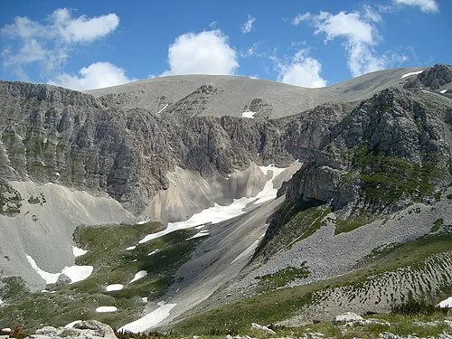 Monte Acquaviva Mountain, Fara San Martino4.1 km NE
-
Monte Cavallo Mountain, Caramanico Terme5.2 km N
-
Monte Rapina Mountain, Caramanico Terme5.3 km N
-
Monte Tazi Mountain, Fara San Martino7.1 km E
-
Giardino Botanico Daniela Brescia Attraction, Sant'Eufemia a Maiella6 km NW
-
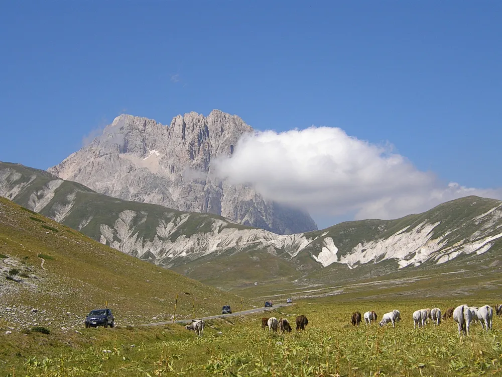 Appennino Abruzzese Mountain, Abruzzo12 km SW
-
Monti Pizi Mountain, Abruzzo17 km SE
Sources & licences
Data last updated: · 2 independent sources