Bric de Rubren
Located in Italy Coordinates: 44°37′10″ N 6°56′58″ E
- Elevation
- 3,340 m
- above sea level
- Local time
- UTC+01:00
- Europe/Rome · UTC+01:00
About Bric de Rubren
Bric de Rubren is a mountain. Location: Italy. Elevation: 3,340 m.
The Cima Mongioia or simply Mongioia (in Italian) or Bric de Rubren (in French) is a 3,340 metres high mountain of the Cottian Alps.
Read more on Wikipedia Text: Wikipedia contributors · CC BY-SA 4.0 · shortened
In comparison
- No. 123 of 4295 mountains in Italy by elevation
- 37 sights and natural places within 10 km Monte Giuep, Monte Salza
Nearest towns and villages
-
Chianale Village, Pontechianale4.9 km NE
-
Pontechianale Municipality, Province of Cuneo6.4 km E
-
Maddalena Village, Pontechianale6.3 km E
-
Bellino Municipality, Province of Cuneo6.9 km SE
-
Pontechianale Village, Pontechianale6.4 km E
-
Celle Village, Bellino6.4 km SE
Nearby attractions & nature
Everything nearby-
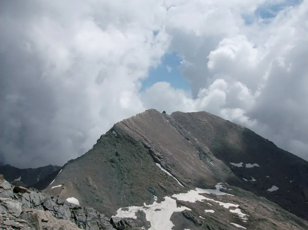 Monte Salza Mountain, France1.1 km E
-
Pointe de Cournascle Mountain, Saint-Paul-sur-Ubaye1.3 km W
-
Monte Giuep Mountain, Bellino1.1 km S
-
Colle del Lupo Mountain, France1.7 km NE
-
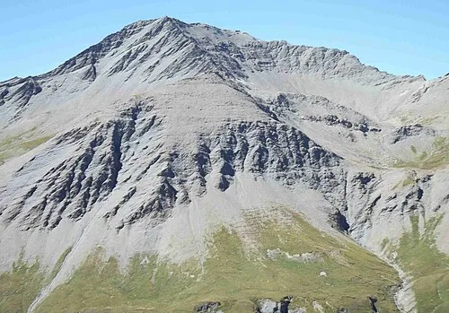 Testa di Malacosta Mountain, Saint-Paul-sur-Ubaye2.5 km SW
-
Rocca della Niera Mountain, Hautes-Alpes3.4 km N
-
Lac de Longet Lake, Alpes-de-Haute-Provence1.5 km N
-
Montagne du Cristillan Mountain, Saint-Paul-sur-Ubaye4.9 km NW
Sources & licences
Data last updated: · 2 independent sources