Monti della Tolfa
Located in Lazio, Italy Coordinates: 42°08′00″ N 11°54′00″ E
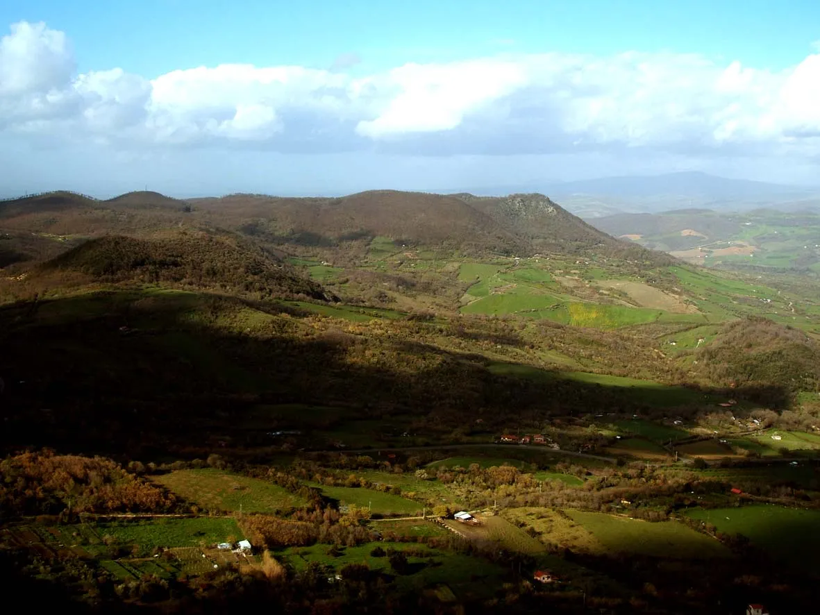
- Elevation
- 458 m
- above sea level
- Local time
- UTC+01:00
- Europe/Rome · UTC+01:00
About Monti della Tolfa
Monti della Tolfa is a mountain. Location: Lazio, Italy. Elevation: 458 m.
The Monti della Tolfa (or Tolfa Mountains) are a volcanic group in the Anti-Apennines of the northern part of the Lazio region of Central Italy. They are bounded by the Tyrrhenian Sea coast to the west, by the Monti Sabatini to the east, and by the Monti Cimini and the Mignone river to the north. Tolfa and Allumiere are the principal towns; the cruise ship port of Civitavecchia is the largest nearby city. The highest peak is the Monte Maggiore (633 m above sea level).
Read more on Wikipedia Text: Wikipedia contributors · CC BY-SA 4.0 · shortened
In comparison
- No. 3932 of 4295 mountains in Italy by elevation
- 5 sights and natural places within 10 km Monte Tolfaccia, Monte Ferrara
Nearest towns and villages
Nearby attractions & nature
Everything nearby-
Monte Tolfaccia Mountain, Allumiere3.3 km SE
-
Monte Ferrara Mountain, Civitavecchia4.1 km W
-
Monte Turco Mountain, Allumiere4.5 km NW
-
Monte Farnesiana Mountain, Allumiere4.5 km NW
-
Monte Acqua Tosta Mountain, Tolfa8.9 km SE
-
Spiaggia di Civitavecchia Beach, Italy10 km SW
-
Monte Cerchiara Mountain, Bracciano18 km SE
-
Spiaggia di Santa Marinella Beach, Italy11 km S
More nature in Italy
-
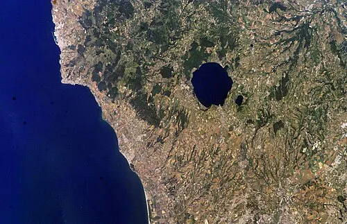 Monti Sabatini Mountain, Lazio29 km E
-
Monte di Rocca Romana Mountain, Sutri28 km E
-
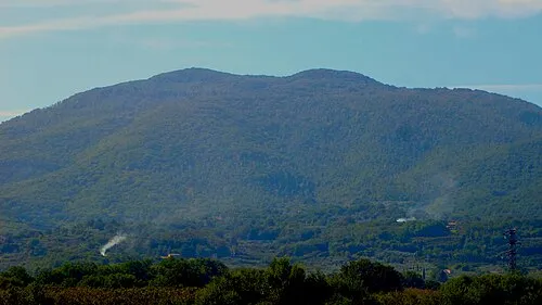 Monte Cimino Mountain, Soriano nel Cimino39 km NE
-
Valle Petrana Natural site, Lazio31 km E
-
Valle Ospedale Natural site, Lazio32 km NE
-
Monte la Pallanzana Mountain, Viterbo36 km NE
Sources & licences
Data last updated: · 2 independent sources