- Elevation
- 2,336 m
- above sea level
- Local time
- UTC+01:00
- Europe/Rome · UTC+01:00
- Airports
- BGY Il Caravaggio International Airport70 km
- LUG Lugano Airport81 km
About Monte Motta
Monte Motta is a mountain. Location: Lanzada, Province of Sondrio. Elevation: 2,336 m. The nearest airport is Il Caravaggio International Airport (70 km). Nearby sights include Sasso Nero and Val Malenco.
Photos of Monte Motta
-
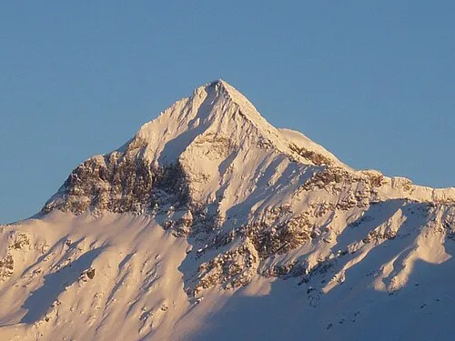
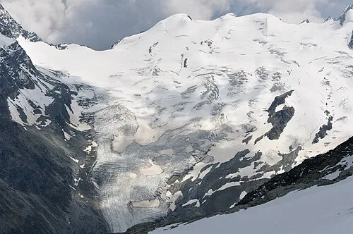
Pizzo Scalino Redlopez · CC BY-SA 3.0 -
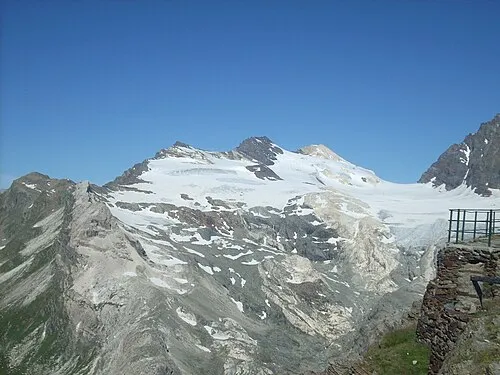
Sassa d'Èntova Gaggi Luca 76 · CC BY 3.0 -
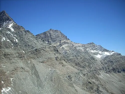
Pizzo Malenco Gaggi Luca 76 · CC BY 3.0 -
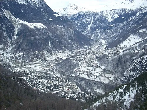
Val Malenco Gaggi Luca 76 · CC BY 3.0


Climate of Monte Motta
This month · November
A cold month
Day 0° · Night -9° · Rain 58 mm
- Hottest month
- July (day 13°)
- Coldest month
- January (night -13°)
- Wettest month
- August (91 mm)
- Driest month
- February (34 mm)
Bars: average monthly low and high temperature. Below: precipitation. Monthly averages for 1970–2000 at about 18 km resolution, adjusted for elevation. Highlighted months are mild and relatively dry. Source: WorldClim 2.1 (CC BY 4.0).
Show values as a table
| Month | Jan | Feb | Mar | Apr | May | Jun | Jul | Aug | Sep | Oct | Nov | Dec |
|---|---|---|---|---|---|---|---|---|---|---|---|---|
| Average high (°C) | -4° | -3° | 0° | 2° | 7° | 10° | 13° | 13° | 10° | 5° | 0° | -3° |
| Average low (°C) | -13° | -13° | -10° | -7° | -2° | 1° | 3° | 3° | 0° | -4° | -9° | -12° |
| Precipitation (mm) | 46 | 34 | 47 | 60 | 79 | 88 | 86 | 91 | 86 | 78 | 58 | 45 |
How to get to Monte Motta
The nearest airport is Il Caravaggio International Airport (BGY), 70 km to the south as the crow flies. The nearest large city is Zurich, 157 km to the northwest.
Airports
- Il Caravaggio International Airport (BGY) Orio al Serio (BG) 70 kmsouth
- Lugano Airport (LUG) Agno 81 kmwest
- Brescia Gabriele d'Annunzio Airport (VBS) Montichiari (BS) 102 kmsouth
Nearby large cities
- Zurich Population: 415.4K 157 kmnorthwest
- Innsbruck Population: 132.5K 158 kmnortheast
- Winterthur Population: 111.8K 162 kmnorthwest
- Bern Population: 121.6K 200 kmwest
- Basel Population: 177.6K 226 kmnorthwest
Straight-line distances; road distances are longer. Airport data: OurAirports.
Day trips from Monte Motta
Within 100 km: 83 historic and cultural sites, 4,877 natural sites, 504 lakes, rivers and coasts.
0–25 km492 places
- Chaviolas Island 18 kmNW
- Silvaplanersee Lake 19 kmN
- Lake Sils Lake 19 kmNW
- Lago di Poschiavo Lake 16 kmE
25–60 km1,465 places
- Lajets Lake 32 kmNW
- Lake Davos Lake 59 kmN
- Lai Alv Lake 32 kmN
- Lej Verd Lake 29 kmN
60–100 km3,507 places
- Spadalone Mountain 66 kmE
- Isole di Brissago Island 90 kmW
- Sant' Apollinare Island 90 kmW
- San Pancrazio Island 90 kmW
Straight-line distances.
Nearest towns and villages
Nearby attractions & nature
Everything nearby-
Sasso Nero Mountain, Chiesa in Valmalenco3.7 km N
-
Val Malenco Natural site, Lombardy4.9 km SW
-
Il Castello Mountain, Chiesa in Valmalenco4.4 km NW
-
Monte Cavaglia Mountain, Lanzada4.4 km SE
-
Monte delle Forbici Mountain, Lanzada4.4 km N
-
Monte Palino Mountain, Lanzada4.7 km S
-
Sasso Moro Mountain, Lanzada4.9 km NE
-
Pizzo Scalino Mountain, Lombardy7 km E
More nature in Italy
-
Cime di Musella Mountain, Lanzada5.8 km NE
-
Monte Acquanera Mountain, Lanzada5.8 km E
-
Monte Spondascia Mountain, Lanzada6.3 km NE
-
Il Cornetto Mountain, Lanzada6.9 km E
-
Punta Marinelli Mountain, Lanzada6.9 km NE
-
 Dschimels Mountain, Lanzada8.6 km N
Sources & licences
Data last updated: · 2 independent sources