
- Population
- 584
- 584
- Elevation
- 2,079 m
- above sea level
- Local time
- UTC+01:00
- Europe/Rome · UTC+01:00
- Airports
- BZO Bolzano Airport89 km
- BGY Il Caravaggio International Airport102 km
About Trepalle
Trepalle is a village. Location: Livigno, Province of Sondrio. Population: 584. Elevation: 2,079 m.
Trepalle is a village (the highest in Italy) in the Italian Alps, a frazione of Livigno, Lombardy. It is sometimes considered to be the village located at the highest altitude in Europe and is the highest in the European Union with its church located at the Passo d'Eira at 2,209 m (7,247 ft). However, Kurush in southern Dagestan in Russia is situated much higher at 2,480–2,560 m (8,140–8,400 ft) in the northern Caucasus Mountains. Trepalle is located above Livigno between the Foscagno Pass and the Eira Pass.
Source: Wikipedia · CC BY-SA 4.0
At a glance
- Area
- 12.2 km²
Source: Wikidata
Photos of Trepalle
-
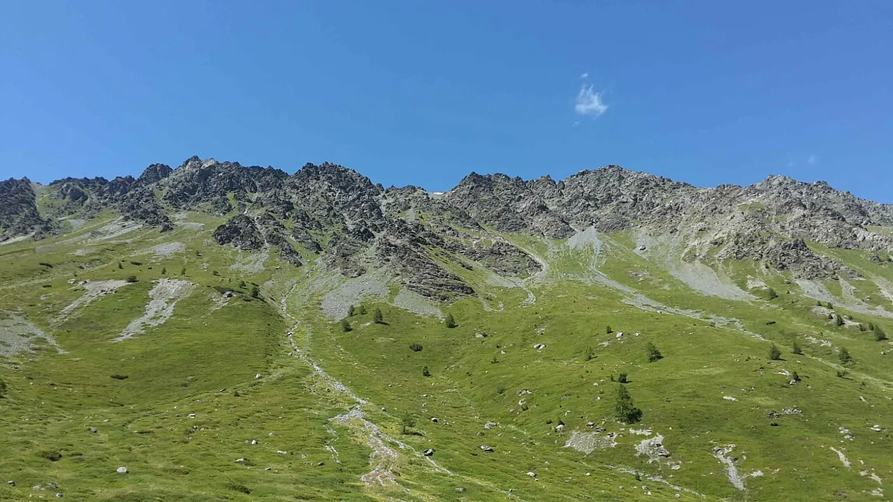
Monte Rocca teutomiele · CC BY-SA 4.0 -
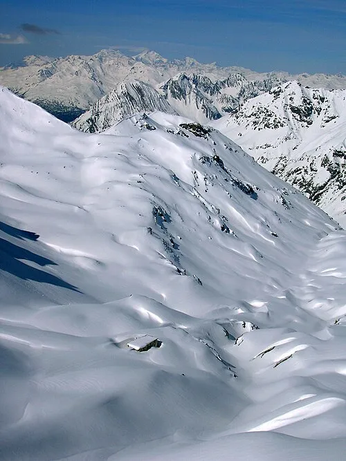
Cima Ovest Di Plator Fdbef · CC BY-SA 3.0 -
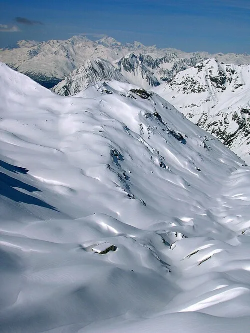
Cime di Plator Fdbef · CC BY-SA 3.0 -
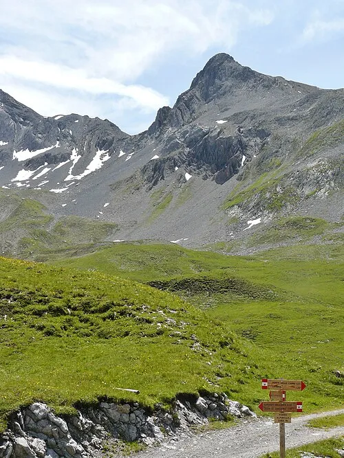
Cima di Pozzin qwesy qwesy · CC BY 3.0 -
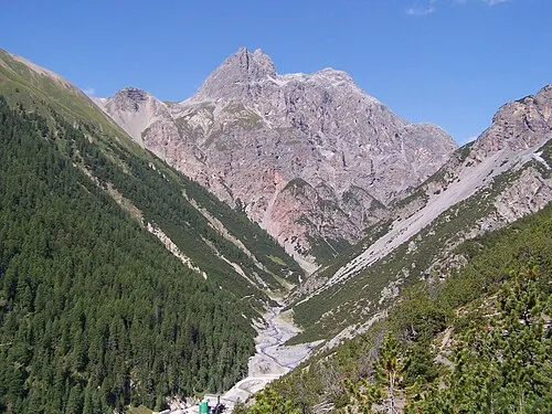
Corna Cavalli Marcobarci · CC BY-SA 4.0


Climate of Trepalle
This month · November
A cold month
Day 1° · Night -6° · Rain 55 mm
- Hottest month
- July (day 14°)
- Coldest month
- February (night -11°)
- Wettest month
- July (85 mm)
- Driest month
- February (39 mm)
Bars: average monthly low and high temperature. Below: precipitation. Monthly averages for 1970–2000 at about 18 km resolution, adjusted for elevation. Highlighted months are mild and relatively dry. Source: WorldClim 2.1 (CC BY 4.0).
Show values as a table
| Month | Jan | Feb | Mar | Apr | May | Jun | Jul | Aug | Sep | Oct | Nov | Dec |
|---|---|---|---|---|---|---|---|---|---|---|---|---|
| Average high (°C) | -3° | -2° | 0° | 2° | 7° | 11° | 14° | 14° | 11° | 7° | 1° | -2° |
| Average low (°C) | -11° | -11° | -8° | -5° | 0° | 2° | 5° | 5° | 2° | -1° | -6° | -9° |
| Precipitation (mm) | 48 | 39 | 49 | 53 | 64 | 80 | 85 | 84 | 67 | 59 | 55 | 50 |
How to get to Trepalle
The nearest airport is Bolzano Airport (BZO), 89 km to the east as the crow flies. For international flights: Il Caravaggio International Airport (BGY) (102 km). The nearest large city is Innsbruck, 124 km to the northeast.
Airports
- Bolzano Airport (BZO) Bolzano (BZ) 89 kmeast
- Il Caravaggio International Airport (BGY) Orio al Serio (BG) 102 kmsouth
- Lugano Airport (LUG) Agno 114 kmsouthwest
Nearby large cities
- Innsbruck Population: 132.5K 124 kmnortheast
- Zurich Population: 415.4K 155 kmnorthwest
- Winterthur Population: 111.8K 155 kmnorthwest
- Munich Population: 1.5M 208 kmnortheast
- Ulm Population: 120.5K 209 kmnorth
Straight-line distances; road distances are longer. Airport data: OurAirports.
Day trips from Trepalle
Within 100 km: 101 historic and cultural sites, 5,354 natural sites, 579 lakes, rivers and coasts.
0–25 km491 places
- Lej Languard Lake 18 kmW
- Lago Bianco Lake 18 kmSW
- Lejs d'Albris Lake 17 kmW
- Lejets da Boval Lake 23 kmSW
25–60 km2,138 places
- Spadalone Mountain 60 kmSE
- Chaviolas Island 35 kmW
- Lajets Lake 45 kmW
- Silvaplanersee Lake 30 kmW
60–100 km3,405 places
- Walensee Lake 100 kmNW
- Voralpsee Lake 93 kmNW
- Lag Prau Pulté Lake 77 kmNW
- Lago di Luzzone Lake 92 kmW
Straight-line distances.
Nearby attractions & nature
Everything nearby-
Il Mottolino Mountain, Livigno1.3 km NW
-
Le Piazze Mountain, Livigno1.7 km E
-
Cima di Pozzin Mountain, Livigno2.5 km NE
-
Monte Crapene Mountain, Livigno2.5 km N
-
Monte della Neve Mountain, Livigno2.8 km SW
-
Monte Torraccia Mountain, Livigno2.9 km NE
Sources & licences
Data last updated: · 2 independent sources