Punta San Matteo
Located in Valfurva, Province of Sondrio Coordinates: 46°22′42″ N 10°34′01″ E
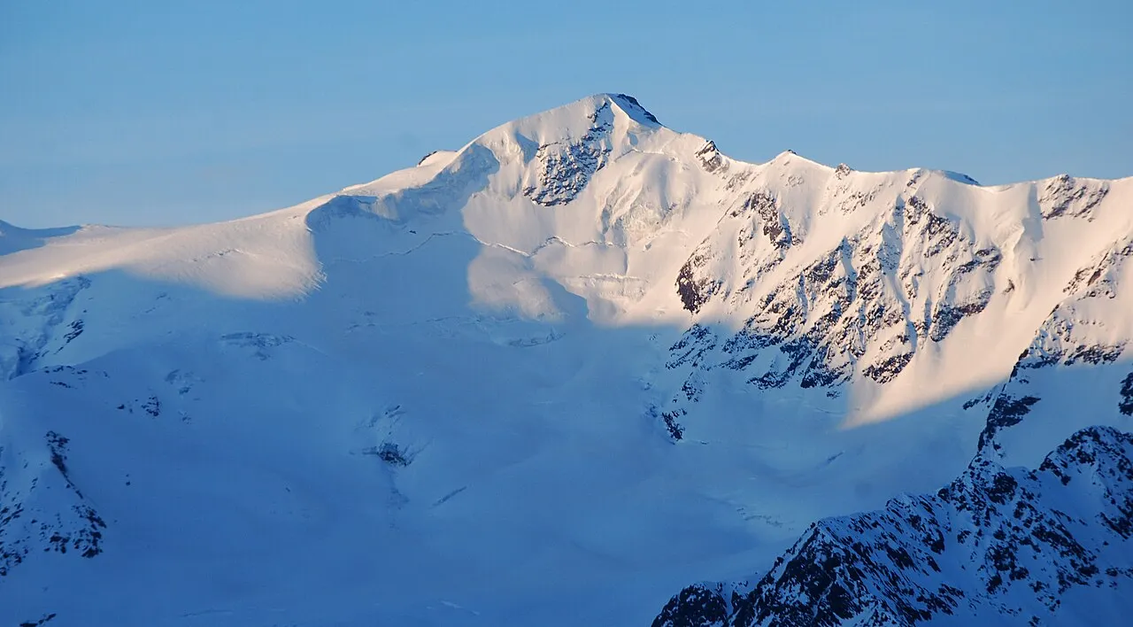
- Elevation
- 3,678 m
- above sea level
- Local time
- UTC+01:00
- Europe/Rome · UTC+01:00
- Airports
- BZO Bolzano Airport59 km
- BGY Il Caravaggio International Airport103 km
About Punta San Matteo
Punta San Matteo is a mountain. Location: Valfurva, Province of Sondrio. Elevation: 3,678 m.
Punta San Matteo is a secondary peak of Ortler-Vioz in the Ortler Alps, at the border between the Province of Sondrio (Lombardy region) and Trentino (Trentino-Alto Adige/Südtirol region) in northern Italy. It was the scene of the Battle of San Matteo in World War I, which, until the 1999 Kargil war, has been the highest battlefield in modern warfare history.
Source: Wikipedia · CC BY-SA 4.0
Photos of Punta San Matteo
-

Marcobarci · CC BY-SA 4.0 -

Marcobarci · CC BY-SA 4.0 -

Zairon · CC BY-SA 4.0 -

Denis Faustinelli · CC BY 3.0 -

Denis Faustinelli · CC BY 3.0


Climate of Punta San Matteo
This month · November
A cold month
Day -10° · Night -15° · Rain 55 mm
- Hottest month
- August (day 2°)
- Coldest month
- February (night -19°)
- Wettest month
- July (74 mm)
- Driest month
- February (44 mm)
Bars: average monthly low and high temperature. Below: precipitation. Monthly averages for 1970–2000 at about 18 km resolution, adjusted for elevation. Highlighted months are mild and relatively dry. Source: WorldClim 2.1 (CC BY 4.0).
Show values as a table
| Month | Jan | Feb | Mar | Apr | May | Jun | Jul | Aug | Sep | Oct | Nov | Dec |
|---|---|---|---|---|---|---|---|---|---|---|---|---|
| Average high (°C) | -13° | -13° | -12° | -9° | -5° | -1° | 2° | 2° | -1° | -5° | -10° | -12° |
| Average low (°C) | -19° | -19° | -18° | -15° | -10° | -7° | -5° | -5° | -7° | -10° | -15° | -17° |
| Precipitation (mm) | 51 | 44 | 58 | 55 | 55 | 69 | 74 | 69 | 58 | 51 | 55 | 51 |
How to get to Punta San Matteo
The nearest airport is Bolzano Airport (BZO), 59 km to the east as the crow flies. For international flights: Il Caravaggio International Airport (BGY) (103 km). The nearest large city is Innsbruck, 117 km to the northeast.
Airports
- Bolzano Airport (BZO) Bolzano (BZ) 59 kmeast
- Il Caravaggio International Airport (BGY) Orio al Serio (BG) 103 kmsouthwest
- Brescia Gabriele d'Annunzio Airport (VBS) Montichiari (BS) 107 kmsouth
Nearby large cities
- Innsbruck Population: 132.5K 117 kmnortheast
- Winterthur Population: 111.8K 188 kmnorthwest
- Zurich Population: 415.4K 189 kmnorthwest
- Munich Population: 1.5M 210 kmnorth
- Augsburg Population: 301.1K 223 kmnorth
Straight-line distances; road distances are longer. Airport data: OurAirports.
Day trips from Punta San Matteo
Within 100 km: 42 historic and cultural sites, 4,088 natural sites, 368 lakes, rivers and coasts.
0–25 km226 places
- Lai da Costainas Lake 20 kmN
- Lai da Minschuns Lake 23 kmN
- Lai da Rims Lake 25 kmNW
- Piz Umbrail Mountain 23 kmNW
25–60 km1,354 places
- Spadalone Mountain 29 kmSE
- Silvaplanersee Lake 60 kmW
- Lago di Poschiavo Lake 38 kmW
- Lej Languard Lake 48 kmW
60–100 km2,918 places
- Dosso Rotondo Mountain 73 kmSE
- Chaviolas Island 63 kmW
- Lajets Lake 76 kmW
- Lake Sils Lake 64 kmW
Straight-line distances.
Nearest towns and villages
-
Santa Caterina Village, Valfurva6.9 km NW
-
Peio Municipality, Province of Trente8.3 km E
-
Peio Village, Peio8.4 km E
-
 Peio Fonti Village, Peio8.1 km E
-
Cogolo Village, Peio10 km E
-
 Pezzo Village, Ponte di Legno11 km S
Nearby attractions & nature
Everything nearby-
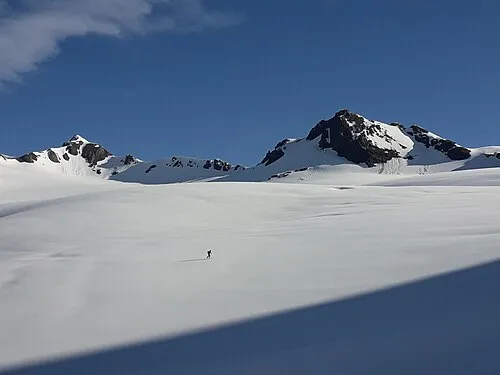 Cima Dosegù Mountain, Valfurva1.1 km NW
-
Monte Giumella Mountain, Lombardy1 km E
-
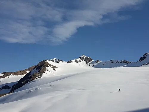 Punta Pedranzini Mountain, Valfurva1.9 km NW
-
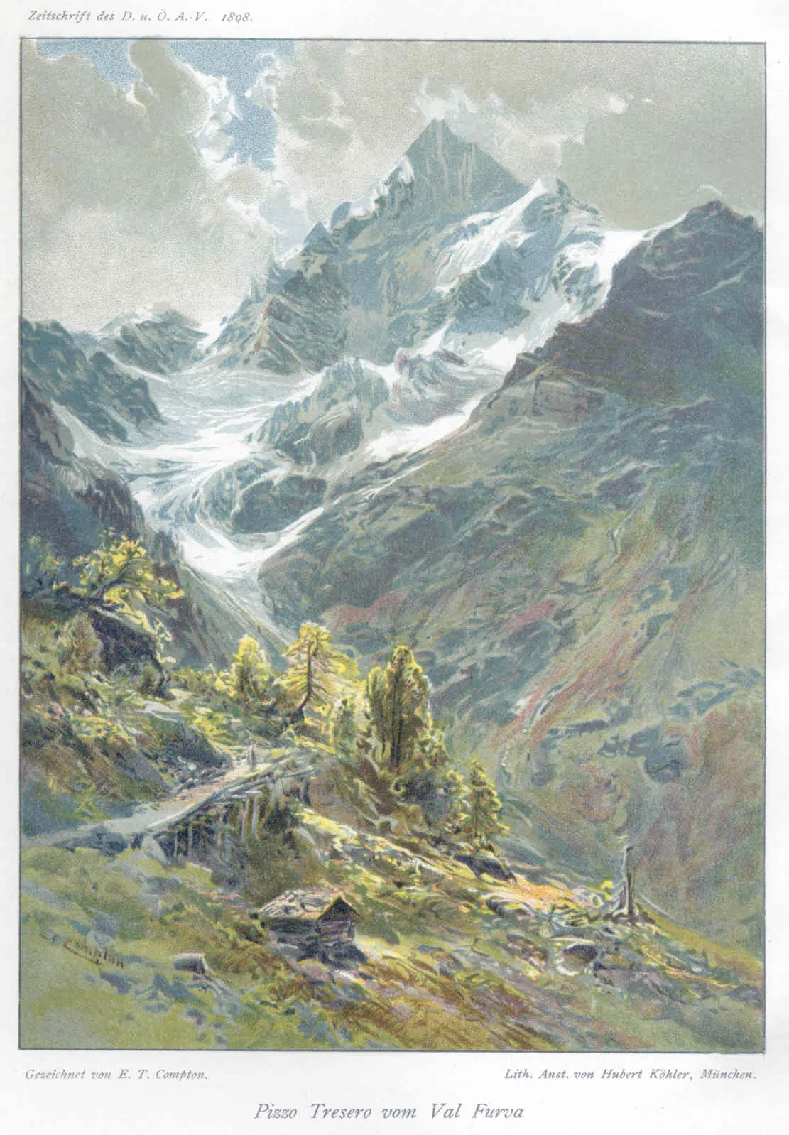 Pizzo Tresero Mountain, Valfurva2.3 km NW
-
Punta Cadini Mountain, Lombardy2.5 km E
-
Cima di Peio Mountain, Valfurva3.3 km E
-
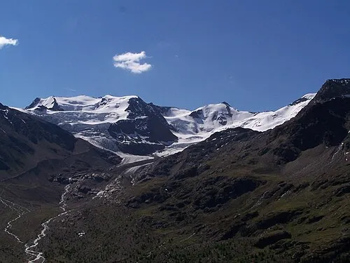 Punta Taviela Mountain, Valfurva4 km E
-
Punta di Ercavallo Mountain, Ponte di Legno5.6 km S
More nature in Italy
-
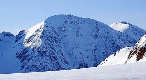 Monte Pasquale Mountain, Valfurva7.8 km N
-
Monte Rosole Mountain, Valfurva7 km NE
-
Suldenspitze Mountain, Valfurva10 km N
-
Punta Payer Mountain, Valfurva15 km NW
-
Punta del Cristallo Mountain, Valfurva15 km NW
Sources & licences
Data last updated: · 2 independent sources