Ligurian Alps
Located in Piedmont, Italy Coordinates: 44°10′00″ N 8°05′00″ E
- Elevation
- 760 m
- above sea level
- Local time
- UTC+01:00
- Europe/Rome · UTC+01:00
About Ligurian Alps
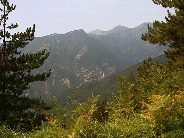
Ligurian Alps is a mountain. Location: Piedmont, Italy. Elevation: 760 m.
The Ligurian Alps are a mountain range in northwestern Italy. A small part is located in France. They form the south-western extremity of the Alps, separated from the Apennines by the Colle di Cadibona. The Col de Tende and the Vermenagna valley separate them from the Maritime Alps. They form the border between Piedmont in the north and Liguria in the south.
Read more on Wikipedia Text: Wikipedia contributors · CC BY-SA 4.0 · shortened
In comparison
- No. 3666 of 4295 mountains in Italy by elevation
- 4 sights and natural places within 10 km Monte Galero, Castell'Ermo
Nearest towns and villages
-
Gazzo Village, Erli1.2 km S
-
Frazione Ortico Case Ferraris Village, Garessio0.8 km N
-
Frazione Volte Village, Garessio1.4 km NW
-
Frazione Cerisola Villa Chiesa Village, Garessio2.2 km SW
-
Frazione Cerisola Villa Roà Village, Garessio2 km SW
-
Frazione Cerisola Villa Croce Village, Garessio2 km SW
Nearby attractions & nature
Everything nearby-
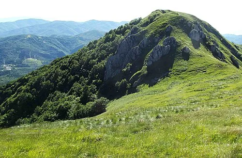 Monte Galero Mountain, Nasino5.6 km W
-
Castell'Ermo Mountain, Vendone8.1 km S
-
Truc Berengero Mountain, Nasino8.3 km W
-
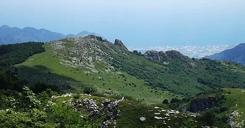 Monte Dubasso Mountain, Alto9.3 km SW
-
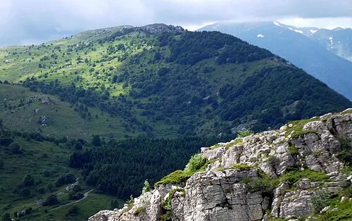 Monte Armetta Mountain, Ormea12 km W
-
Monte della Guardia Mountain, Ormea13 km W
-
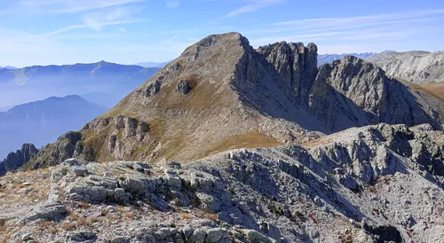 Bric di Canoia Mountain, Provence-Alpes-Côte d'Azur Region22 km W
-
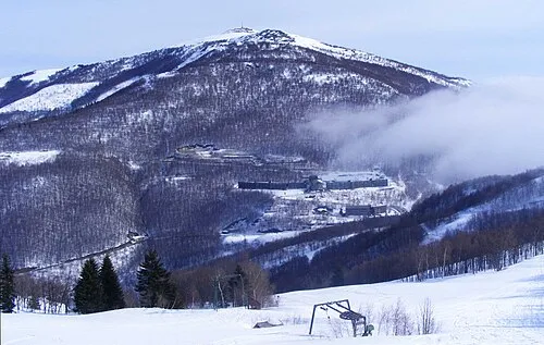 Bric Mindino Mountain, Garessio13 km NW
More nature in Italy
-
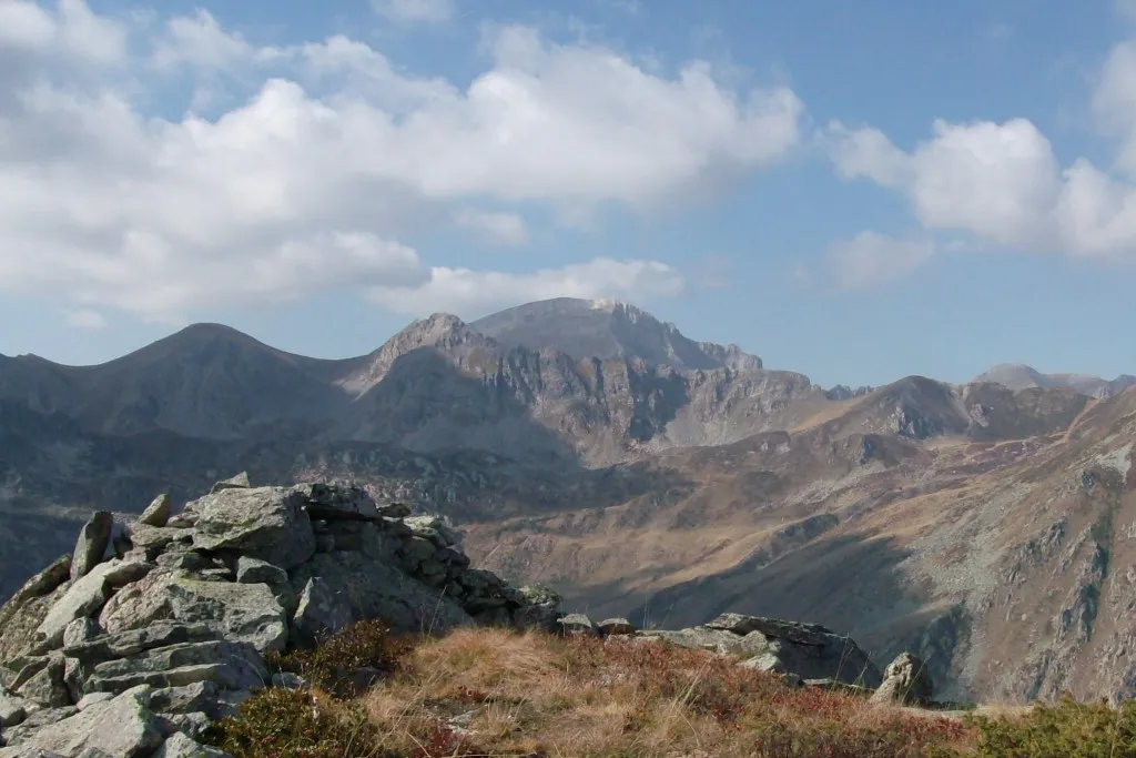 Monte Mongioie Mountain, Magliano Alpi24 km W
-
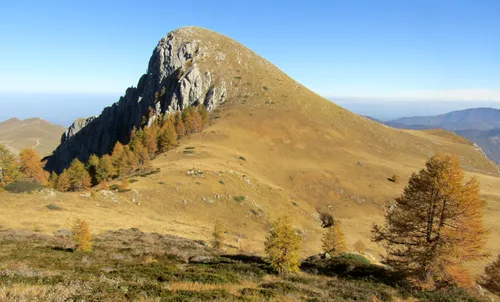 Monte Fantino Mountain, Magliano Alpi24 km W
-
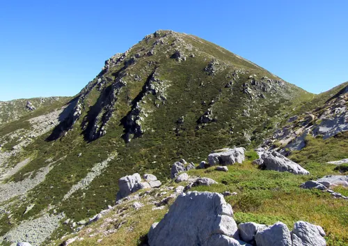 Cima Ferlette Mountain, Magliano Alpi24 km W
-
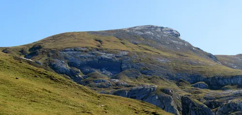 Cima della Brignola Mountain, Magliano Alpi24 km W
-
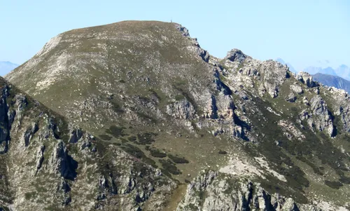 Cima Seirasso Mountain, Magliano Alpi26 km W
-
Monte Malanotte Mountain, Frabosa Soprana25 km NW
Sources & licences
Data last updated: · 2 independent sources