- Elevation
- 2,967 m
- above sea level
- Local time
- UTC+01:00
- Europe/Rome · UTC+01:00
- Airports
- LUG Lugano Airport64 km
- BRN Bern Airport85 km
About Grieshorn
Grieshorn is a mountain. Location: Formazza, Verbania. Elevation: 2,967 m.
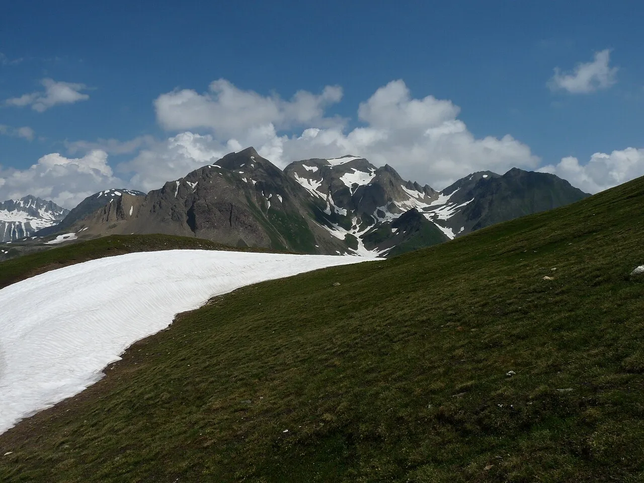
The Grieshorn (also known as Corno Gries) is a mountain of the Lepontine Alps, located on the Swiss-Italian border. With an altitude of 2,969 metres above sea level, it is the culminating point of the group lying between the Gries Pass, the San Giacomo Pass and the Nufenen Pass. On the west lies the slightly lower Klein Grieshorn.
Source: Wikipedia · CC BY-SA 4.0
At a glance
- Topographic prominence
- 511 m
Source: Wikidata
Photos of Grieshorn
-

Gael Varoquaux from Paris, France · CC BY 2.0 -
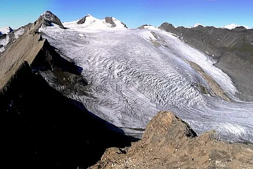
Blinnenhorn Tici23 · Public domain -
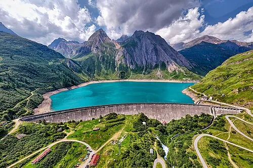
Corno di Ban Hagai Agmon-Snir حچاي اچمون-سنير חגי אגמון-שניר · CC BY-SA 4.0


Climate of Grieshorn
This month · November
A cold month
Day -5° · Night -10° · Rain 97 mm
- Hottest month
- August (day 8°)
- Coldest month
- February (night -14°)
- Wettest month
- August (111 mm)
- Driest month
- February (72 mm)
Bars: average monthly low and high temperature. Below: precipitation. Monthly averages for 1970–2000 at about 18 km resolution, adjusted for elevation. Highlighted months are mild and relatively dry. Source: WorldClim 2.1 (CC BY 4.0).
Show values as a table
| Month | Jan | Feb | Mar | Apr | May | Jun | Jul | Aug | Sep | Oct | Nov | Dec |
|---|---|---|---|---|---|---|---|---|---|---|---|---|
| Average high (°C) | -8° | -8° | -7° | -5° | -1° | 4° | 7° | 8° | 5° | 0° | -5° | -7° |
| Average low (°C) | -13° | -14° | -13° | -11° | -6° | -3° | 0° | 0° | -2° | -6° | -10° | -12° |
| Precipitation (mm) | 81 | 72 | 89 | 103 | 108 | 109 | 107 | 111 | 102 | 108 | 97 | 82 |
How to get to Grieshorn
The nearest airport is Lugano Airport (LUG), 64 km to the southeast as the crow flies. For international flights: Milan Malpensa International Airport (MXP) (95 km). The nearest large city is Bern, 91 km to the northwest.
Airports
- Lugano Airport (LUG) Agno 64 kmsoutheast
- Bern Airport (BRN) Bern 85 kmnorthwest
- Milan Malpensa International Airport (MXP) Ferno (VA) 95 kmsouth
Nearby large cities
- Bern Population: 121.6K 91 kmnorthwest
- Zurich Population: 415.4K 102 kmnorth
- Winterthur Population: 111.8K 120 kmnorth
- Lausanne Population: 139.1K 135 kmwest
- Basel Population: 177.6K 138 kmnorthwest
Straight-line distances; road distances are longer. Airport data: OurAirports.
Day trips from Grieshorn
Within 100 km: 154 historic and cultural sites, 6,923 natural sites, 872 lakes, rivers and coasts.
0–25 km882 places
- Lago Nero Lake 11 kmE
- Lago Sfundau Lake 10 kmE
- Lago del Sambuco Lake 20 kmE
- Lago Ritom Lake 25 kmNE
25–60 km3,427 places
- Strandbad Neuhaus Beach 51 kmNW
- Strandbad Manor Farm Beach 51 kmNW
- Strandbad Leissigen Beach 53 kmNW
- Strandbad Iseltwald Beach 43 kmNW
60–100 km3,640 places
- Kleiner Bremgartenwald Mountain 93 kmNW
- Arbeiterstrandbad Tennwil Beach 96 kmN
- Ufenau Island 90 kmN
- Insel Lützelau Island 91 kmN
Straight-line distances.
Nearest towns and villages

Nearby attractions & nature
Everything nearby-
Corno Gries Mountain, Formazza<0.1 km S
-
Kleines Grieshorn Mountain, Formazza0.6 km W
-
Rotentalhorn Mountain, Formazza0.8 km NE
-
Corno Brunni Mountain, Formazza0.7 km SE
-
Ghiacciaio del Corno Natural site, Bedretto0.4 km NW
-
Corno Mutt Mountain, Formazza1.5 km SE
-
Punta di Elgio Mountain, Formazza1.9 km NE
-
Helgenhorn Mountain, Formazza2 km E
More nature in Italy
-
Corno di Ban Mountain, Formazza4.5 km SW
-
Bettelmatthorn Mountain, Formazza3.4 km W
-
Monte Immel Mountain, Formazza3.6 km SW
-
Punta della Sabbia Mountain, Formazza4.2 km SW
-
Punta di Morasco Mountain, Formazza4.3 km S
-
Pizzo del Vallone Mountain, Formazza4.9 km SW
Sources & licences
Data last updated: · 2 independent sources