- Elevation
- 3,027 m
- above sea level
- Local time
- UTC+01:00
- Europe/Rome · UTC+01:00
- Airports
- LUG Lugano Airport64 km
- MXP Milan Malpensa International Airport85 km
About Pizzo di Boccareccio
Pizzo di Boccareccio is a mountain. Location: Varzo, Verbania. Elevation: 3,027 m.
The Pizzo di Boccareccio is a mountain of Piedmont, Italy, with an elevation of 3,027 metres (9,931 ft). Part of the Lepontine Alps, it is located on the border between the municipalities of Varzo and Baceno, in the Province of Verbano-Cusio-Ossola. Along with Helsenhorn, Punta di Boccareccio and Punta delle Caldaie, it forms the ridge that divides the Alpe Veglia from the Alpe Devero. The peak is part of the Alpe Veglia and Alpe Devero Natural Park, and can be climbed starting from Bivacco Combi e Lanza.
Source: Wikipedia · CC BY-SA 4.0
Photos of Pizzo di Boccareccio
-
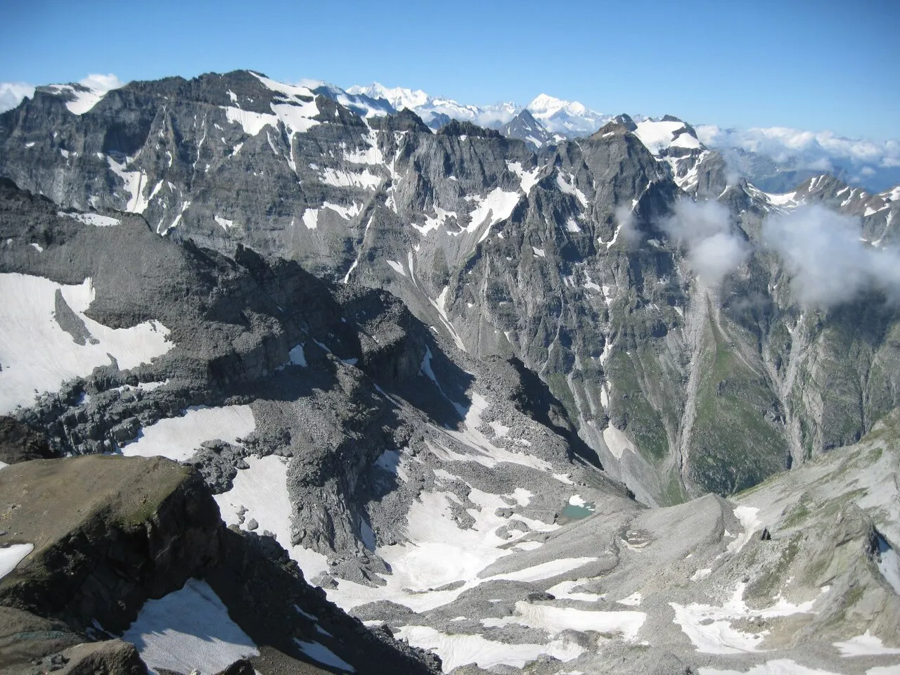
Helsenhorn Gian1967 · CC BY-SA 3.0 -
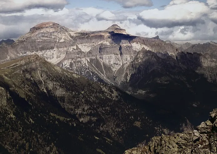
Pizzo Diei No machine-readable author provided. Idéfix~commonswiki assumed · CC BY-SA 3.0 -
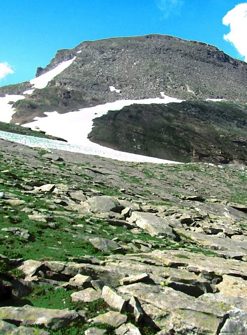
Punta Salarioli Pampuco · CC BY-SA 4.0 -
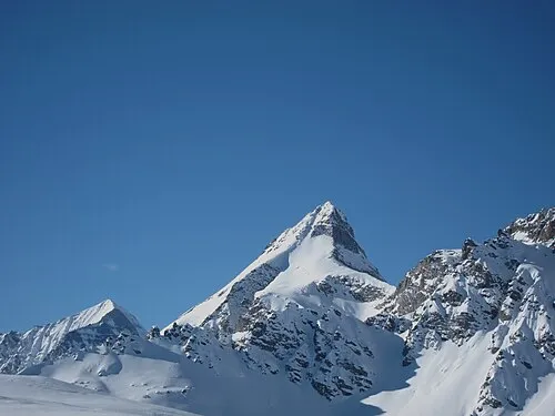
Pizzo Moro Mænsard vokser · CC BY-SA 4.0 -
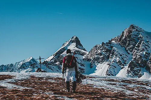
Monte Cazzola Andre.arduph · CC BY-SA 4.0


Climate of Pizzo di Boccareccio
This month · November
A cold month
Day -5° · Night -12° · Rain 86 mm
- Hottest month
- July (day 8°)
- Coldest month
- February (night -15°)
- Wettest month
- May (110 mm)
- Driest month
- February (64 mm)
Bars: average monthly low and high temperature. Below: precipitation. Monthly averages for 1970–2000 at about 18 km resolution, adjusted for elevation. Highlighted months are mild and relatively dry. Source: WorldClim 2.1 (CC BY 4.0).
Show values as a table
| Month | Jan | Feb | Mar | Apr | May | Jun | Jul | Aug | Sep | Oct | Nov | Dec |
|---|---|---|---|---|---|---|---|---|---|---|---|---|
| Average high (°C) | -8° | -8° | -6° | -3° | 2° | 5° | 8° | 8° | 5° | 0° | -5° | -7° |
| Average low (°C) | -15° | -15° | -14° | -11° | -7° | -4° | -1° | -1° | -4° | -8° | -12° | -14° |
| Precipitation (mm) | 67 | 64 | 80 | 96 | 110 | 106 | 95 | 105 | 92 | 104 | 86 | 68 |
How to get to Pizzo di Boccareccio
The nearest airport is Lugano Airport (LUG), 64 km to the southeast as the crow flies. For international flights: Milan Malpensa International Airport (MXP) (85 km). The nearest large city is Bern, 93 km to the northwest.
Airports
- Lugano Airport (LUG) Agno 64 kmsoutheast
- Milan Malpensa International Airport (MXP) Ferno (VA) 85 kmsoutheast
- Bern Airport (BRN) Bern 87 kmnorthwest
Nearby large cities
- Bern Population: 121.6K 93 kmnorthwest
- Zurich Population: 415.4K 122 kmnorth
- Lausanne Population: 139.1K 123 kmwest
- Winterthur Population: 111.8K 140 kmnorth
- Basel Population: 177.6K 148 kmnorth
Straight-line distances; road distances are longer. Airport data: OurAirports.
Day trips from Pizzo di Boccareccio
Within 100 km: 141 historic and cultural sites, 6,635 natural sites, 778 lakes, rivers and coasts.
0–25 km649 places
- Stausee Gibidum Lake 18 kmNW
- Laghetti d'Antabia Lake 24 kmNE
- Potimiaseewjini Lake 21 kmS
- Laghi di Formazzöö Lake 22 kmE
25–60 km3,092 places
- Strandbad Neuhaus Beach 52 kmNW
- Strandbad Manor Farm Beach 52 kmNW
- Strandbad Leissigen Beach 52 kmNW
- Strandbad Iseltwald Beach 49 kmN
60–100 km3,813 places
- Kleiner Bremgartenwald Mountain 95 kmNW
- Insel Schwanau Island 87 kmN
- Sankt-Niklausen-Insle Island 83 kmN
- Neptun-Inseln Island 73 kmNE
Straight-line distances.
Nearest towns and villages
-
 Devero-Ai Ponti Village, Baceno4.7 km NE
-
 San Domenico Village, Varzo5.5 km S
-
Grengiols Municipality, Raron District7 km NW
-
Cantone Village, Baceno5.3 km NE
-
Località Gebbo Village, Varzo7 km S
-
Binn Municipality, Goms District8.3 km N
Nearby attractions & nature
Everything nearby-
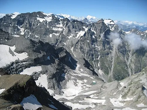 Helsenhorn Mountain, Grengiols1.2 km NW
-
Guglie di Cornera Mountain, Baceno0.7 km E
-
Punta di Boccareccio Mountain, Valais0.5 km NW
-
Punta d'Orogna Mountain, Baceno1.6 km SE
-
Pizzo Moro Mountain, Crodo1.6 km S
-
Scatta d'Orogna Mountain, Crodo1.8 km SE
-
Helsegletscher Natural site, Grengiols1.6 km W
-
Cima delle Piodelle Mountain, Valais1.8 km W
More nature in Italy
-
Punta Salarioli Mountain, Varzo3.3 km SW
-
Cima di Valtendra Mountain, Varzo2.8 km S
-
Pizzo del Dosso Mountain, Varzo4.1 km S
-
Torre di Veglia Mountain, Varzo4.5 km SW
-
Pizzo del Balzo Mountain, Varzo5.1 km SE
-
Cima di Valle Mountain, Varzo5.8 km SE
Sources & licences
Data last updated: · 2 independent sources