Catena di Lagorai
Located in Trentino-Alto Adige, Italy Coordinates: 46°15′00″ N 11°37′00″ E
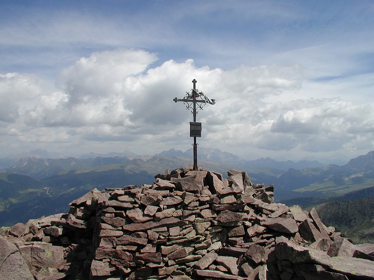
- Elevation
- 2,201 m
- above sea level
- Local time
- UTC+01:00
- Europe/Rome · UTC+01:00
- Airports
- BZO Bolzano Airport32 km
- TSF Treviso Airport80 km
About Catena di Lagorai
Catena di Lagorai is a mountain. Location: Trentino-Alto Adige, Italy. Elevation: 2,201 m.
The Lagorai is a mountain range in the Eastern Alps, in Trentino, northern Italy. It is located between the Monte Panarotta (16 km) from Trento and Rolle Pass, for a length of some 70 km. It is bounded southwards by the Valsugana, by the Val di Fiemme from the north, the Val di Cembra from the west and the Primiero and Vanoi eastwards. The chain is mostly made of porphyry rocks. It was the site of fierce mine warfare on the Italian Front in the First World War.
Source: Wikipedia · CC BY-SA 4.0
At a glance
- Length
- 70 km
Source: Wikidata
Photos of Catena di Lagorai
-

Stefano Petri · CC BY 3.0 -

Stefano Petri · CC BY 3.0 -

Syrio · CC BY-SA 4.0 -

Syrio · CC BY-SA 4.0 -

Own work · CC BY-SA 4.0


Climate of Catena di Lagorai
This month · November
A cold month
Day 0° · Night -6° · Rain 52 mm
- Hottest month
- July (day 14°)
- Coldest month
- February (night -10°)
- Wettest month
- July (99 mm)
- Driest month
- January (27 mm)
Bars: average monthly low and high temperature. Below: precipitation. Monthly averages for 1970–2000 at about 18 km resolution, adjusted for elevation. Highlighted months are mild and relatively dry. Source: WorldClim 2.1 (CC BY 4.0).
Show values as a table
| Month | Jan | Feb | Mar | Apr | May | Jun | Jul | Aug | Sep | Oct | Nov | Dec |
|---|---|---|---|---|---|---|---|---|---|---|---|---|
| Average high (°C) | -4° | -3° | -1° | 2° | 7° | 12° | 14° | 14° | 10° | 6° | 0° | -3° |
| Average low (°C) | -10° | -10° | -7° | -5° | 0° | 3° | 6° | 6° | 3° | -1° | -6° | -8° |
| Precipitation (mm) | 27 | 28 | 35 | 48 | 76 | 94 | 99 | 96 | 79 | 70 | 52 | 29 |
How to get to Catena di Lagorai
The nearest airport is Bolzano Airport (BZO), 32 km to the northwest as the crow flies. For international flights: Treviso Airport (TSF) (80 km). The nearest large city is Innsbruck, 114 km to the north.
Airports
- Bolzano Airport (BZO) Bolzano (BZ) 32 kmnorthwest
- Treviso Airport (TSF) Treviso (TV) 80 kmsoutheast
- Venice Marco Polo Airport (VCE) Venezia (VE) 101 kmsoutheast
Nearby large cities
- Innsbruck Population: 132.5K 114 kmnorth
- Salzburg Population: 157.2K 204 kmnortheast
- Munich Population: 1.5M 210 kmnorth
- Klagenfurt Population: 100.3K 211 kmeast
- Ljubljana Population: 272.2K 224 kmeast
Straight-line distances; road distances are longer. Airport data: OurAirports.
Day trips from Catena di Lagorai
Within 100 km: 27 historic and cultural sites, 2,392 natural sites, 64 lakes, rivers and coasts.
0–25 km228 places
- Croda Nera Mountain 24 kmNE
- Mislkopf Mountain 13 kmSW
- Monte Croce Mountain 19 kmSW
- Cima del Frate Mountain 15 kmS
25–60 km603 places
- Piz Gralba Mountain 33 kmNE
- Piz Miara Mountain 33 kmNE
- Monte Pez Mountain 29 kmN
- Dosson Mountain 35 kmW
60–100 km1,652 places
- Spadalone Mountain 71 kmW
- Dosso Rotondo Mountain 71 kmSW
- Lai da Costainas Lake 94 kmW
- Lai da Minschuns Lake 95 kmNW
Straight-line distances.
Nearest towns and villages
-
Ziano di Fiemme Municipality, Province of Trente5.6 km NW
-
Predazzo Municipality, Province of Trente6.7 km N
-
Ziano di Fiemme Village, Ziano di Fiemme5.6 km NW
-
Predazzo Village, Predazzo7 km N
-
Panchià Municipality, Province of Trente7 km NW
-
 Caoria Village, Canal San Bovo7.6 km SE
Nearby attractions & nature
Everything nearby-
Cima di Canzenagol Mountain, Veneto0.5 km N
-
Cima Busa Alta Mountain, Veneto0.6 km W
-
Cadinon Mountain, Veneto1.3 km N
-
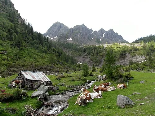 Cauriol Mountain, Veneto2.3 km SW
-
Colrotondo Mountain, Veneto1.8 km E
-
Cima Moregna Mountain, Veneto2.1 km NE
-
Mandriccione Mountain, Veneto2.2 km W
-
Cima di Valbona Mountain, Veneto2.6 km E
Sources & licences
Data last updated: · 2 independent sources