Hennesiegelspitzen
Located in Trentino-Alto Adige, Italy Coordinates: 46°52′22″ N 10°39′35″ E
- Elevation
- 3,117 m
- above sea level
- Local time
- UTC+01:00
- Europe/Rome · UTC+01:00
- Airports
- INN Innsbruck Airport68 km
- BZO Bolzano Airport69 km
About Hennesiegelspitzen
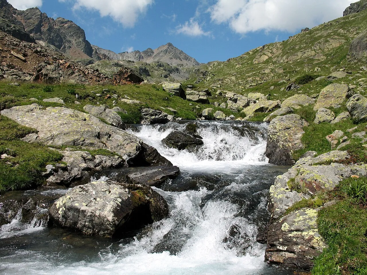
Hennesiegelspitzen is a mountain. Location: Trentino-Alto Adige, Italy. Elevation: 3,117 m. The nearest airport is Innsbruck Airport (68 km). Nearby sights include Glockhauser and Schwarze Wand.
Photos of Hennesiegelspitzen
-
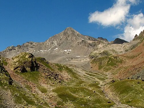
Glockturm Christoph Praxmarer · CC BY-SA 2.5 -
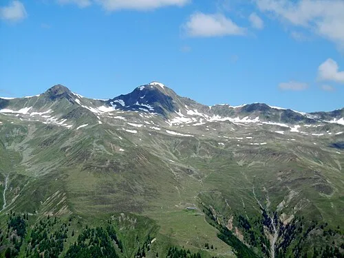
Grosser Schafkopf ArthurMcGill · CC BY 3.0 -
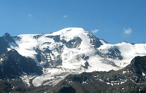
Weisssee Spitze Christoph Praxmarer · CC BY-SA 2.5


Climate of Hennesiegelspitzen
This month · November
A cold month
Day -6° · Night -13° · Rain 66 mm
- Hottest month
- July (day 7°)
- Coldest month
- February (night -17°)
- Wettest month
- July (106 mm)
- Driest month
- February (53 mm)
Bars: average monthly low and high temperature. Below: precipitation. Monthly averages for 1970–2000 at about 18 km resolution, adjusted for elevation. Highlighted months are mild and relatively dry. Source: WorldClim 2.1 (CC BY 4.0).
Show values as a table
| Month | Jan | Feb | Mar | Apr | May | Jun | Jul | Aug | Sep | Oct | Nov | Dec |
|---|---|---|---|---|---|---|---|---|---|---|---|---|
| Average high (°C) | -10° | -9° | -7° | -4° | 1° | 4° | 7° | 7° | 4° | 0° | -6° | -9° |
| Average low (°C) | -17° | -17° | -14° | -12° | -7° | -4° | -2° | -2° | -4° | -8° | -13° | -15° |
| Precipitation (mm) | 59 | 53 | 65 | 67 | 78 | 97 | 106 | 99 | 74 | 63 | 66 | 64 |
How to get to Hennesiegelspitzen
The nearest airport is Innsbruck Airport (INN), 68 km to the northeast as the crow flies. The nearest large city is Innsbruck, 71 km to the northeast.
Airports
- Innsbruck Airport (INN) Innsbruck 68 kmnortheast
- Bolzano Airport (BZO) Bolzano (BZ) 69 kmsoutheast
- Sankt Gallen Altenrhein Airport (ACH) St. Gallen 108 kmnorthwest
Nearby large cities
- Innsbruck Population: 132.5K 71 kmnortheast
- Munich Population: 1.5M 157 kmnortheast
- Winterthur Population: 111.8K 163 kmnorthwest
- Augsburg Population: 301.1K 168 kmnorth
- Zurich Population: 415.4K 169 kmwest
Straight-line distances; road distances are longer. Airport data: OurAirports.
Day trips from Hennesiegelspitzen
Within 100 km: 201 historic and cultural sites, 5,637 natural sites, 945 lakes, rivers and coasts.
0–25 km349 places
- Lai da Gonda Grossa Lake 25 kmSW
- Punta Erosa Mountain 25 kmSW
- Croda di Rims Mountain 25 kmSW
- Punta di Rassas Mountain 21 kmSW
25–60 km1,838 places
- Lai da Juata Lake 36 kmSW
- Lai Sura Lake 44 kmW
- Furggasee Lake 57 kmW
- Laj da Fops Lake 57 kmSW
60–100 km4,596 places
- Spadalone Mountain 82 kmS
- Chaviolas Island 86 kmSW
- Lajets Lake 92 kmSW
- Silvaplanersee Lake 81 kmSW
Straight-line distances.
Nearest towns and villages
-
Nauders Municipality, Landeck9.2 km W
-
Pfunds Municipality, Landeck10 km NW
-
Caprone Village, Curon Venosta/Graun im Vinschgau8.2 km SW
-
Curon Venosta/Graun im Vinschgau Municipality, South Tyrol11 km SW
-
Pedross Village, Curon Venosta/Graun im Vinschgau9 km SW
-
Resia Village, Curon Venosta/Graun im Vinschgau12 km SW
Nearby attractions & nature
Everything nearby-
Glockhauser Mountain, Curon Venosta/Graun im Vinschgau0.4 km SW
-
Schwarze Wand Mountain, Pfunds1 km N
-
Arzkarkopf Mountain, Kaunertal1.1 km N
-
Nasse Wand Mountain, Curon Venosta/Graun im Vinschgau1.6 km E
-
Glockturm Mountain, Kaunertal2.3 km N
-
Turm Mountain, Kaunertal2.1 km N
-
Habicht Mountain, Kaunertal2.4 km NE
-
Roter Schragen Mountain, Pfunds3.1 km N
More nature in Italy
-
Weisssee Spitze Mountain, Curon Venosta/Graun im Vinschgau5.2 km SE
-
Cima del Dosso Mountain, Curon Venosta/Graun im Vinschgau3.7 km SE
-
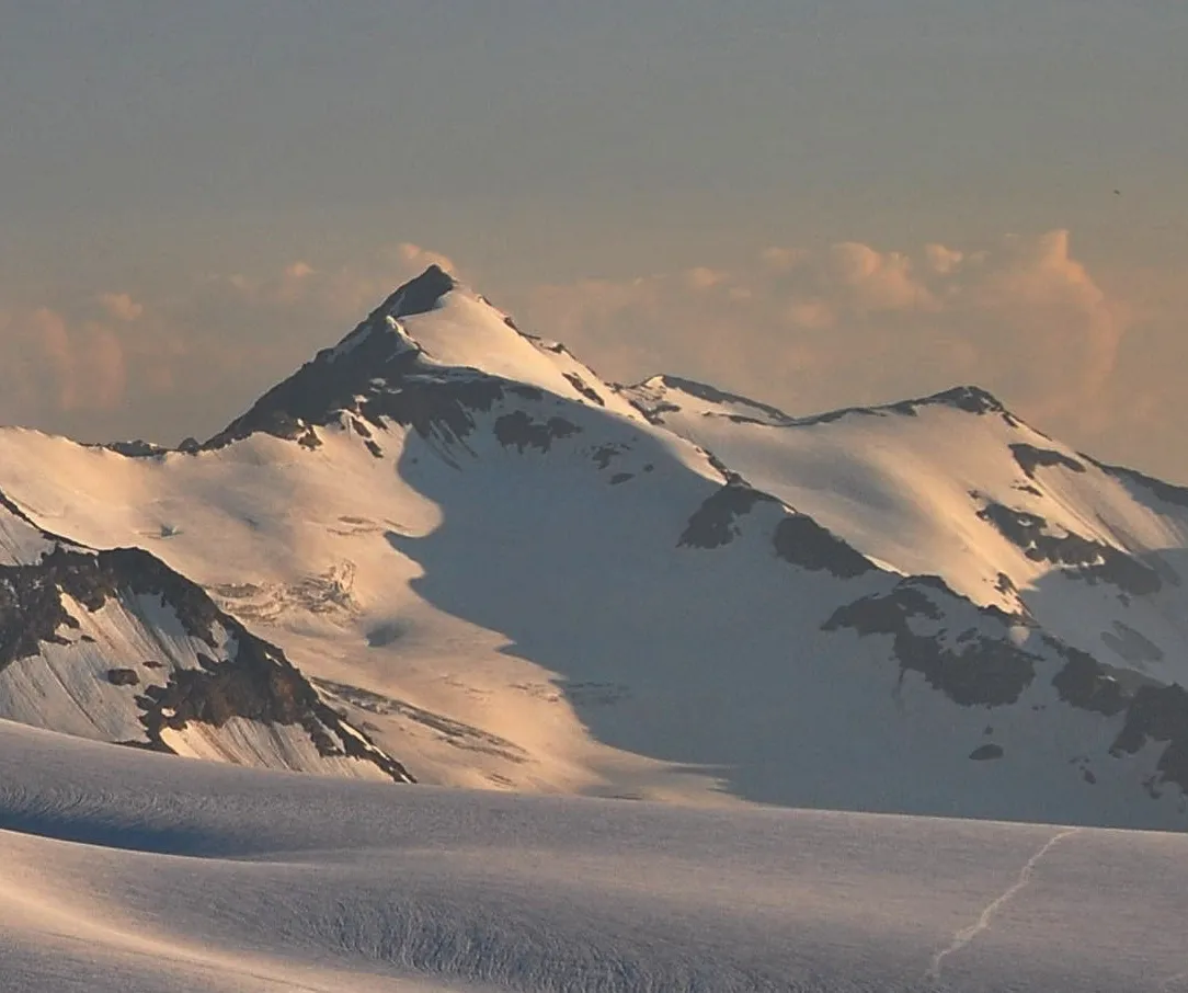 Cima Barba d'Orso di fuori Mountain, Curon Venosta/Graun im Vinschgau8.6 km S
-
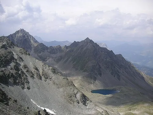 Bergkastelspitze Mountain, Curon Venosta/Graun im Vinschgau8.4 km W
-
Wolfebeskopf Mountain, Curon Venosta/Graun im Vinschgau5.8 km SW
-
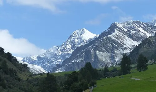 Cima dei Corvi Mountain, Malles Venosta/Mals9.9 km S
Sources & licences
Data last updated: · 2 independent sources