- Elevation
- 3,253 m
- above sea level
- Local time
- UTC+01:00
- Europe/Rome · UTC+01:00
- Airports
- INN Innsbruck Airport48 km
- BZO Bolzano Airport72 km
About III. Hornspitze
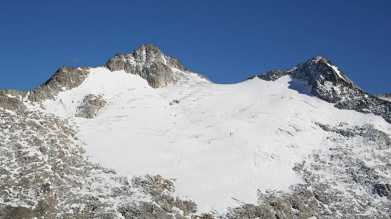
III. Hornspitze is a mountain. Location: Trentino-Alto Adige, Italy. Elevation: 3,253 m.
The III. Hornspitze is a mountain in the Zillertal Alps on the border between Tyrol, Austria, and South Tyrol, Italy.
Source: Wikipedia · CC BY-SA 4.0
Photos of III. Hornspitze
-

Stefan.straub · CC BY-SA 4.0 -

Axel Mauruszat · CC BY 3.0 de -

Whgler · CC BY-SA 3.0 -

Whgler · CC BY-SA 3.0 -

Stefan.straub · CC BY-SA 4.0


Climate of III. Hornspitze
This month · November
A cold month
Day -7° · Night -13° · Rain 98 mm
- Hottest month
- July (day 6°)
- Coldest month
- February (night -17°)
- Wettest month
- July (158 mm)
- Driest month
- February (67 mm)
Bars: average monthly low and high temperature. Below: precipitation. Monthly averages for 1970–2000 at about 18 km resolution, adjusted for elevation. Highlighted months are mild and relatively dry. Source: WorldClim 2.1 (CC BY 4.0).
Show values as a table
| Month | Jan | Feb | Mar | Apr | May | Jun | Jul | Aug | Sep | Oct | Nov | Dec |
|---|---|---|---|---|---|---|---|---|---|---|---|---|
| Average high (°C) | -11° | -11° | -8° | -5° | 0° | 3° | 6° | 6° | 3° | -2° | -7° | -10° |
| Average low (°C) | -17° | -17° | -15° | -12° | -7° | -4° | -2° | -2° | -4° | -8° | -13° | -15° |
| Precipitation (mm) | 70 | 67 | 90 | 96 | 116 | 144 | 158 | 143 | 105 | 89 | 98 | 79 |
How to get to III. Hornspitze
The nearest airport is Innsbruck Airport (INN), 48 km to the northwest as the crow flies. The nearest large city is Innsbruck, 45 km to the northwest.
Airports
- Innsbruck Airport (INN) Innsbruck 48 kmnorthwest
- Bolzano Airport (BZO) Bolzano (BZ) 72 kmsouthwest
- Salzburg Airport (SZG) Salzburg 124 kmnortheast
Nearby large cities
- Innsbruck Population: 132.5K 45 kmnorthwest
- Salzburg Population: 157.2K 127 kmnortheast
- Munich Population: 1.5M 128 kmnorth
- Augsburg Population: 301.1K 168 kmnorthwest
- Klagenfurt Population: 100.3K 192 kmeast
Straight-line distances; road distances are longer. Airport data: OurAirports.
Day trips from III. Hornspitze
Within 100 km: 151 historic and cultural sites, 4,373 natural sites, 848 lakes, rivers and coasts.
0–25 km436 places
- Wild See Lake 22 kmW
- Torseen Lake 22 kmNW
- Juns See Lake 22 kmNW
- Schlegeisspeicher Lake 12 kmW
25–60 km1,378 places
- Sille River 51 kmSE
- Piz Gralba Mountain 54 kmS
- Piz Miara Mountain 53 kmS
- Eissee Lake 42 kmE
60–100 km3,558 places
- Bayerisches Oberland Mountain 81 kmNW
- Croda Nera Mountain 63 kmS
- Fürlegsee Lake 60 kmE
- Vorderer Langtalsee Lake 71 kmE
Straight-line distances.
Nearest towns and villages


Nearby attractions & nature
Everything nearby-
II. Hornspitze Mountain, Ahrntal0.2 km SE
-
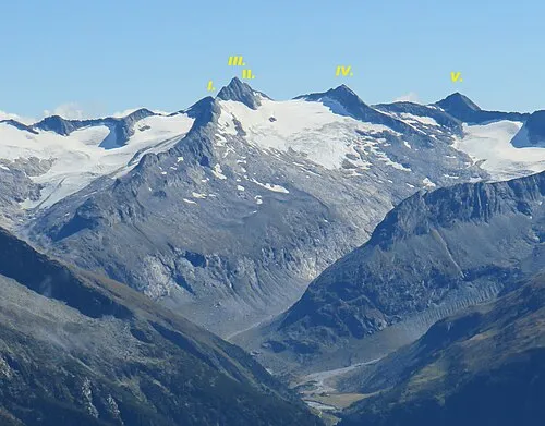 IV. Hornspitze Mountain, Finkenberg0.6 km SW
-
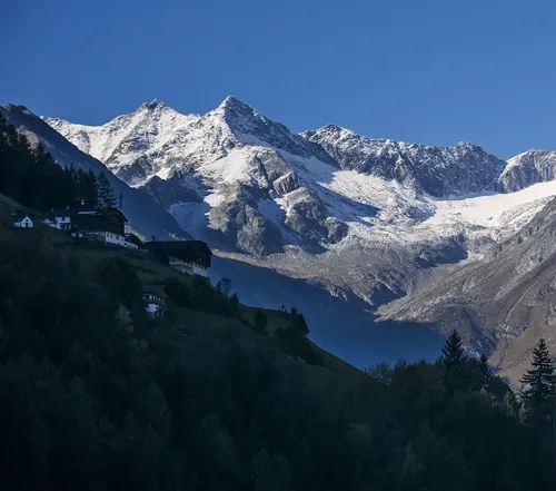 I. Hornspitze Mountain, Ahrntal0.6 km E
-
Breiter Kopf Mountain, Ahrntal0.7 km SE
-
Berliner Spitze Mountain, Tyrol0.5 km SE
-
V. Hornspitze Mountain, Ahrntal1.2 km SW
-
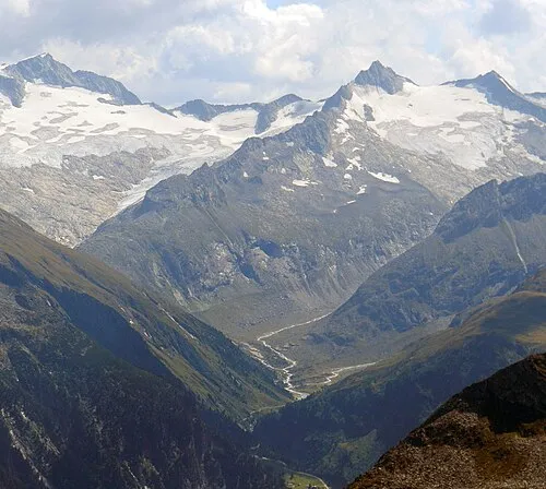 Am Horn Mountain, Finkenberg1.9 km NW
-
Äusserer Grüne Platte Mountain, Ahrntal2 km S
More nature in Italy
-
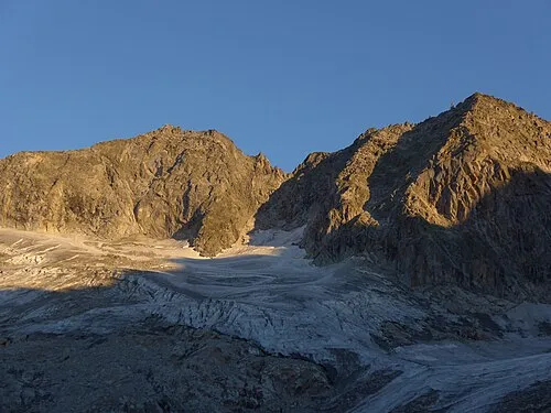 Westliche Floitenspitze Mountain, Ahrntal4.3 km NE
-
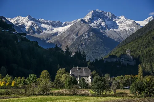 Grossfadnler Mountain, Ahrntal3 km E
-
Scharhaggen Mountain, Ahrntal2.1 km SE
-
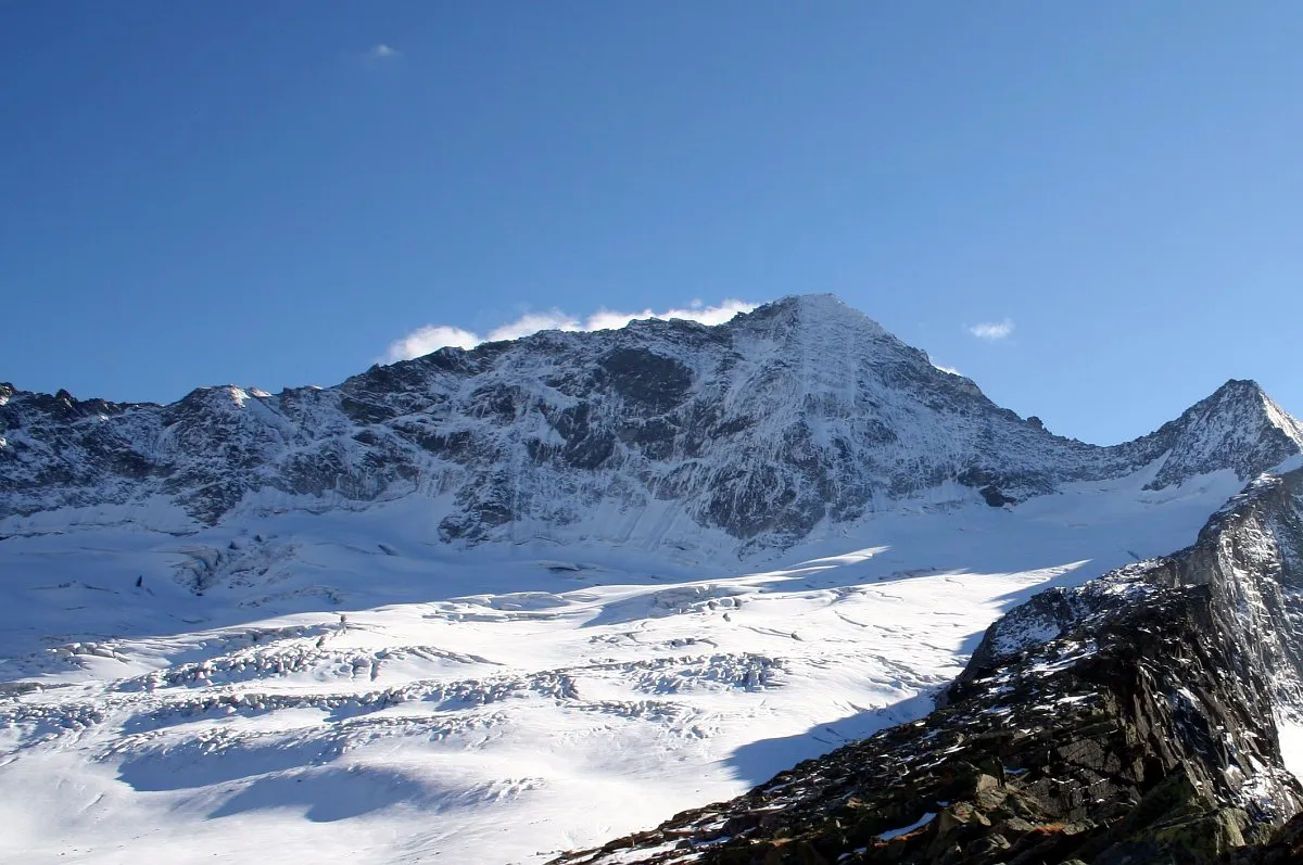 Rossruggspitze Mountain, Selva dei Molini/Mühlwald3.3 km W
-
Schwarzenbachspitze Mountain, Ahrntal2.4 km E
-
Gelenknock Mountain, Ahrntal2.5 km S
Sources & licences
Data last updated: · 2 independent sources