- Elevation
- 2,555 m
- above sea level
- Local time
- UTC+01:00
- Europe/Rome · UTC+01:00
- Airports
- INN Innsbruck Airport70 km
- BZO Bolzano Airport73 km
About Corno Alto
Corno Alto is a mountain. Location: Perca/Percha, South Tyrol. Elevation: 2,555 m. The nearest airport is Innsbruck Airport (70 km). Nearby sights include Hochhorn and Weisskofl.
Photos of Corno Alto
-
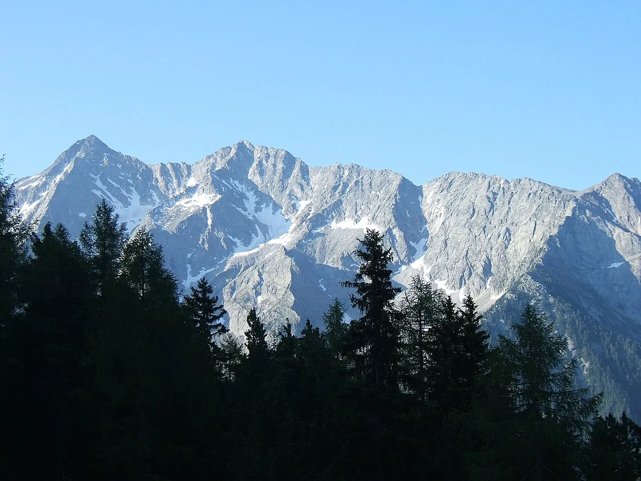
Cima del Vento Cactus26 · CC BY-SA 3.0 -
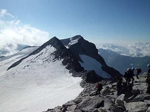
Monte Magro Sternchenzaehler · CC BY-SA 4.0 -
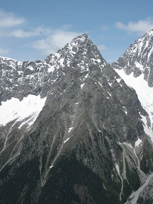
Wildgall Plentn · CC0 -
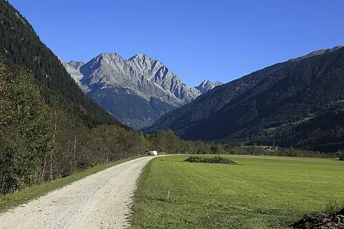
Cima di Pianalto Falk2 · CC BY-SA 4.0 -
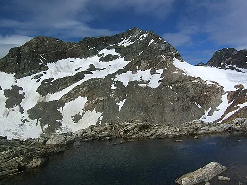
Schwarze Wand Cactus26 · CC BY-SA 3.0


Climate of Corno Alto
This month · November
A wet month
Day -2° · Night -8° · Rain 101 mm
- Hottest month
- July (day 11°)
- Coldest month
- February (night -12°)
- Wettest month
- July (157 mm)
- Driest month
- February (67 mm)
Bars: average monthly low and high temperature. Below: precipitation. Monthly averages for 1970–2000 at about 18 km resolution, adjusted for elevation. Highlighted months are mild and relatively dry. Source: WorldClim 2.1 (CC BY 4.0).
Show values as a table
| Month | Jan | Feb | Mar | Apr | May | Jun | Jul | Aug | Sep | Oct | Nov | Dec |
|---|---|---|---|---|---|---|---|---|---|---|---|---|
| Average high (°C) | -6° | -6° | -4° | -1° | 4° | 8° | 11° | 11° | 7° | 3° | -2° | -5° |
| Average low (°C) | -12° | -12° | -10° | -7° | -3° | 1° | 3° | 3° | 0° | -3° | -8° | -11° |
| Precipitation (mm) | 70 | 67 | 89 | 99 | 117 | 141 | 157 | 144 | 107 | 95 | 101 | 77 |
How to get to Corno Alto
The nearest airport is Innsbruck Airport (INN), 70 km to the northwest as the crow flies. The nearest large city is Innsbruck, 67 km to the northwest.
Airports
- Innsbruck Airport (INN) Innsbruck 70 kmnorthwest
- Bolzano Airport (BZO) Bolzano (BZ) 73 kmsouthwest
- Salzburg Airport (SZG) Salzburg 124 kmnortheast
Nearby large cities
- Innsbruck Population: 132.5K 67 kmnorthwest
- Salzburg Population: 157.2K 127 kmnortheast
- Munich Population: 1.5M 145 kmnorth
- Klagenfurt Population: 100.3K 173 kmeast
- Augsburg Population: 301.1K 188 kmnorthwest
Straight-line distances; road distances are longer. Airport data: OurAirports.
Day trips from Corno Alto
Within 100 km: 123 historic and cultural sites, 4,034 natural sites, 674 lakes, rivers and coasts.
0–25 km426 places
- Schwarzsee Lake 18 kmE
- Oberseitsee Lake 18 kmNE
- Bödensee Lake 20 kmNE
- Obersee Lake 11 kmE
25–60 km1,549 places
- Sille River 30 kmE
- Piz Gralba Mountain 44 kmSW
- Piz Miara Mountain 44 kmSW
- Croda Nera Mountain 53 kmSW
60–100 km2,856 places
- Wildsee Lake 83 kmNW
- Brandlsee Lake 67 kmNE
- Brechlsee Lake 67 kmNE
- Schmiedingersee Lake 60 kmNE
Straight-line distances.
Nearest towns and villages
-
Anterselva di Mezzo Village, Rasun-Anterselva/Rasen-Antholz3 km SE
-
Rasun-Anterselva/Rasen-Antholz Municipality, South Tyrol4.6 km S
-
Costa del Colle Village, Rasun-Anterselva/Rasen-Antholz3.2 km SE
-
Dorfl II Village, Rasun-Anterselva/Rasen-Antholz3.5 km E
-
Arbusti Village, Rasun-Anterselva/Rasen-Antholz3.9 km E
-
Siesl Village, Rasun-Anterselva/Rasen-Antholz3.8 km SE
Nearby attractions & nature
Everything nearby-
Hochhorn Mountain, Rasun-Anterselva/Rasen-Antholz0.3 km SE
-
Weisskofl Mountain, Rasun-Anterselva/Rasen-Antholz0.8 km NE
-
Schwarze Wand Mountain, Campo Tures/Sand in Taufers1.4 km N
-
Sattelleite Mountain, Perca/Percha1 km SW
-
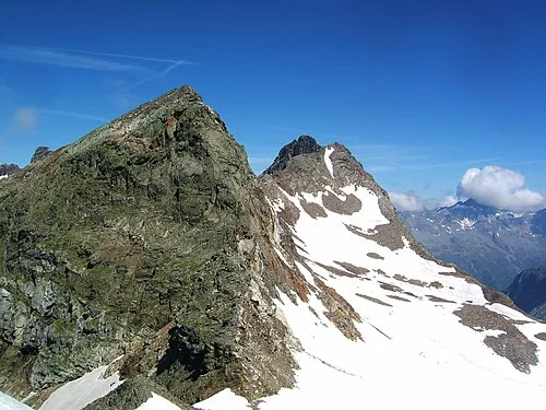 Morgenkofel Mountain, Gais/Gais1.8 km NW
-
Geierrast Mountain, Gais/Gais1.3 km NW
-
Rote Nase Mountain, Perca/Percha1.4 km W
-
Starkspitze Mountain, Campo Tures/Sand in Taufers1.8 km NE
Sources & licences
Data last updated: · 2 independent sources