- Elevation
- 2,674 m
- above sea level
- Local time
- UTC+01:00
- Europe/Rome · UTC+01:00
- Airports
- INN Innsbruck Airport52 km
- BZO Bolzano Airport58 km
About Wechselkopf
Wechselkopf is a mountain. Location: Vintl, South Tyrol. Elevation: 2,674 m. The nearest airport is Innsbruck Airport (52 km). Nearby sights include Milchegger and Hochgrubbach.
Photos of Wechselkopf
-
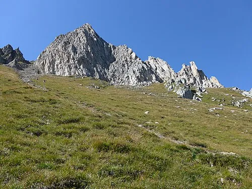
Cima dei Covoni Cactus26 · CC BY-SA 3.0 -
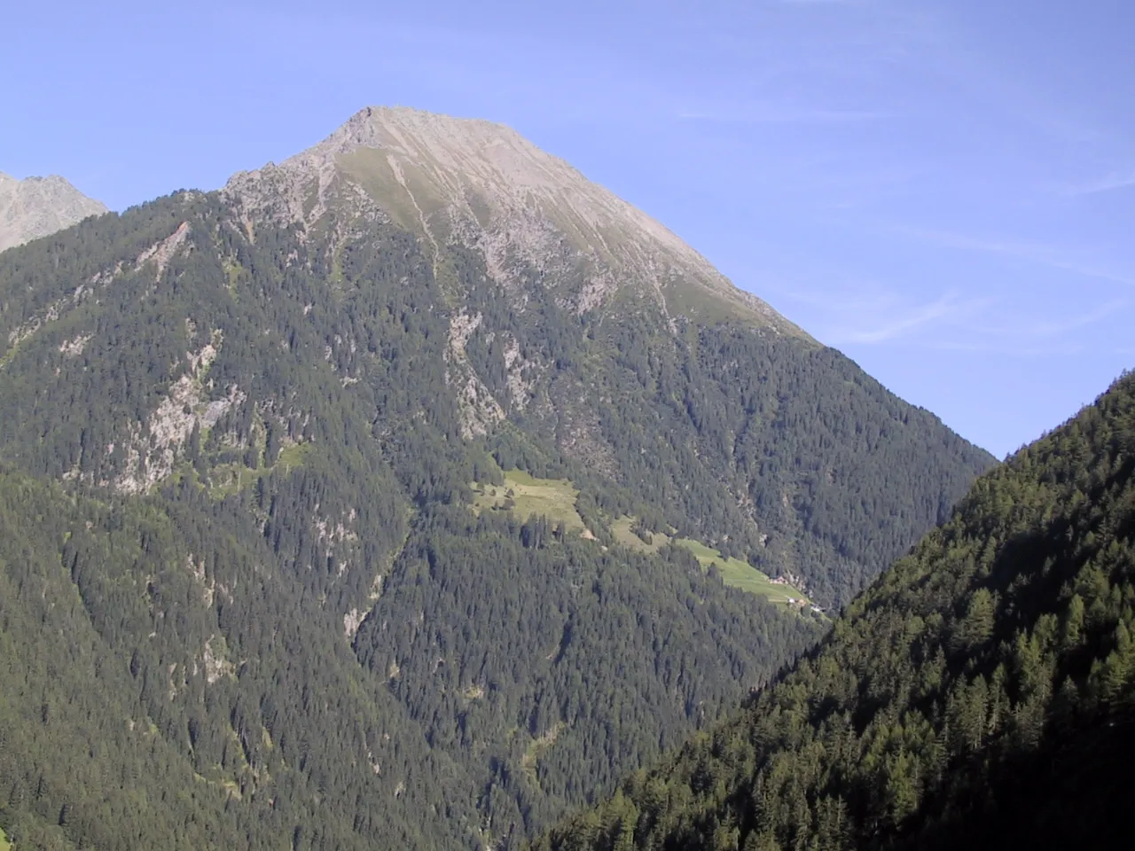
Eidechsspitze Hegedex · Public domain -
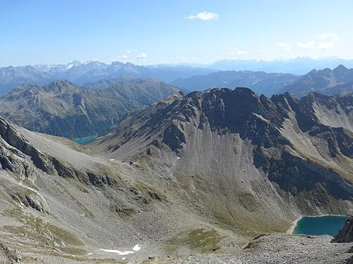
Napfspitze Cactus26 · CC BY-SA 3.0 -
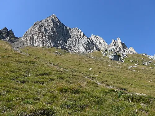
Tristenspitze Cactus26 · CC BY-SA 3.0


Climate of Wechselkopf
This month · November
A cold month
Day -3° · Night -9° · Rain 90 mm
- Hottest month
- July (day 10°)
- Coldest month
- February (night -13°)
- Wettest month
- July (145 mm)
- Driest month
- February (59 mm)
Bars: average monthly low and high temperature. Below: precipitation. Monthly averages for 1970–2000 at about 18 km resolution, adjusted for elevation. Highlighted months are mild and relatively dry. Source: WorldClim 2.1 (CC BY 4.0).
Show values as a table
| Month | Jan | Feb | Mar | Apr | May | Jun | Jul | Aug | Sep | Oct | Nov | Dec |
|---|---|---|---|---|---|---|---|---|---|---|---|---|
| Average high (°C) | -7° | -6° | -4° | -1° | 4° | 7° | 10° | 10° | 7° | 3° | -3° | -6° |
| Average low (°C) | -13° | -13° | -11° | -8° | -4° | 0° | 2° | 2° | -1° | -4° | -9° | -11° |
| Precipitation (mm) | 62 | 59 | 79 | 89 | 106 | 133 | 145 | 133 | 98 | 85 | 90 | 68 |
How to get to Wechselkopf
The nearest airport is Innsbruck Airport (INN), 52 km to the northwest as the crow flies. The nearest large city is Innsbruck, 50 km to the northwest.
Airports
- Innsbruck Airport (INN) Innsbruck 52 kmnorthwest
- Bolzano Airport (BZO) Bolzano (BZ) 58 kmsouthwest
- Salzburg Airport (SZG) Salzburg 138 kmnortheast
Nearby large cities
- Innsbruck Population: 132.5K 50 kmnorthwest
- Munich Population: 1.5M 140 kmnorth
- Salzburg Population: 157.2K 140 kmnortheast
- Augsburg Population: 301.1K 177 kmnorth
- Klagenfurt Population: 100.3K 197 kmeast
Straight-line distances; road distances are longer. Airport data: OurAirports.
Day trips from Wechselkopf
Within 100 km: 137 historic and cultural sites, 4,256 natural sites, 707 lakes, rivers and coasts.
0–25 km330 places
- Wild See Lake 20 kmNW
- Brennersee Lake 25 kmNW
- Schlegeisspeicher Lake 17 kmN
- Schwarzsee Lake 18 kmN
25–60 km1,237 places
- Sille River 53 kmE
- Piz Gralba Mountain 41 kmS
- Piz Miara Mountain 40 kmS
- Croda Nera Mountain 50 kmS
60–100 km3,533 places
- Bayerisches Oberland Mountain 90 kmN
- Piz Russenna Mountain 100 kmW
- Piz Nair Mountain 99 kmW
- Motta Mundin Mountain 99 kmW
Straight-line distances.
Nearest towns and villages
-
Fundres Village, Vintl4.1 km W
-
Vallarga Village, Vintl5.4 km SW
-
 Lappago Village, Selva dei Molini/Mühlwald5 km NE
-
Lappago di Sotto Village, Selva dei Molini/Mühlwald4.6 km NE
-
Terento/Terenten Municipality, South Tyrol6.3 km S
-
Marga Village, Terento/Terenten5.4 km S
Nearby attractions & nature
Everything nearby-
Milchegger Mountain, Vintl0.2 km S
-
Hochgrubbach Mountain, Vintl0.8 km SE
-
Kleine Grubbachspitze Mountain, Vintl0.9 km SE
-
Eidechsspitze Mountain, Vintl1.7 km S
-
Flemmberg Mountain, Selva dei Molini/Mühlwald1.2 km N
-
Neblnock Mountain, Selva dei Molini/Mühlwald1.3 km NW
-
Gamsburg Mountain, Vintl1.3 km SE
-
Bergl Mountain, Vintl1.5 km SW
Sources & licences
Data last updated: · 2 independent sources