Mazza di Pichea
Located in Veneto, Italy Coordinates: 45°55′56″ N 10°45′50″ E
- Elevation
- 1,879 m
- above sea level
- Local time
- UTC+01:00
- Europe/Rome · UTC+01:00
About Mazza di Pichea
Mazza di Pichea is a mountain. Location: Veneto, Italy. Elevation: 1,879 m.
In comparison
- No. 2323 of 4295 mountains in Italy by elevation
- 37 sights and natural places within 10 km Corno di Pichea, La Rocca
Nearest towns and villages
Nearby attractions & nature
Everything nearby-
Corno di Pichea Mountain, Veneto1.2 km N
-
La Rocca Mountain, Ledro1.5 km SW
-
Dosso di Seaoi Mountain, Ledro1.5 km S
-
Tofino Mountain, Veneto1.9 km N
-
Dos da Trat Mountain, Riva del Garda2.2 km S
-
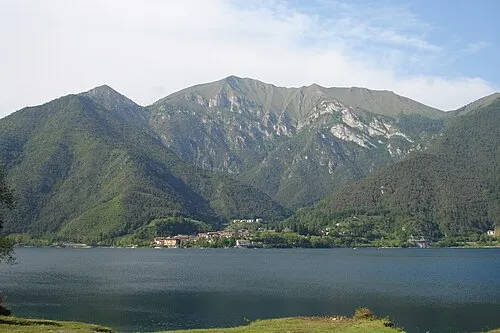 Cima Pari Mountain, Ledro2.9 km S
-
Cima Penel Mountain, Veneto3 km SE
-
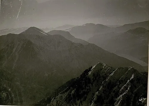 Tomeabru Mountain, Ledro3.1 km S
Sources & licences
Data last updated: · 2 independent sources