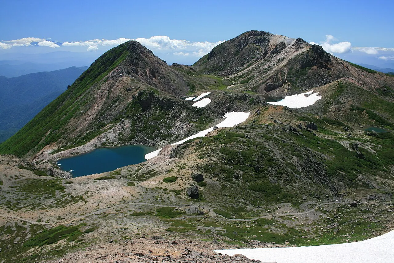
- Elevation
- 2,702 m
- above sea level
- Local time
- UTC+09:00
- Asia/Tokyo · UTC+09:00
- Airports
- KMQ Komatsu Airport / JASDF Komatsu Air Base41 km
- TOY Toyama Kitokito Airport66 km
About Haku-san
Haku-san is a mountain. Location: Hakusan Shi, Ishikawa. Elevation: 2,702 m.
Mount Haku (白山, Haku-san; "White Mountain"), or Hakusan, is a dormant stratovolcano in Japan. It is located on the borders of Gifu and Ishikawa, on the island of Honshu. Mount Haku is thought to have first been active 300,000 to 400,000 years ago, with the most recent eruption occurring in 1659. Along with Mount Tate and Mount Fuji, it is one of Japan's "Three Holy Mountains" (三霊山, San-rei-zan). The mountain's tallest peak, Gozenga-mine (御前峰), is the one that gives the mountain its height of 2,702 m (8,865 ft).
Source: Wikipedia · CC BY-SA 4.0
At a glance
- Topographic prominence
- 1,897 m
Source: Wikidata
Climate of Haku-san
This month · November
A wet month
Day -1° · Night -10° · Rain 120 mm
Better nearby cities in November
- Kofu · 171 km east17°
- Fujinomiya · 197 km southeast18°
- Fuji · 206 km southeast20°
- Hottest month
- August (day 15°)
- Coldest month
- January (night -19°)
- Wettest month
- July (290 mm)
- Driest month
- February (103 mm)
Bars: average monthly low and high temperature. Below: precipitation. Monthly averages for 1970–2000 at about 18 km resolution, adjusted for elevation. Highlighted months are mild and relatively dry. Source: WorldClim 2.1 (CC BY 4.0).
Show values as a table
| Month | Jan | Feb | Mar | Apr | May | Jun | Jul | Aug | Sep | Oct | Nov | Dec |
|---|---|---|---|---|---|---|---|---|---|---|---|---|
| Average high (°C) | -11° | -10° | -6° | 1° | 6° | 10° | 14° | 15° | 11° | 5° | -1° | -7° |
| Average low (°C) | -19° | -19° | -15° | -9° | -4° | 1° | 6° | 7° | 3° | -4° | -10° | -16° |
| Precipitation (mm) | 111 | 103 | 136 | 174 | 180 | 259 | 290 | 256 | 284 | 154 | 120 | 109 |
How to get to Haku-san
The nearest airport is Komatsu Airport / JASDF Komatsu Air Base (KMQ), 41 km to the northwest as the crow flies. The nearest large city is Komatsu, 39 km to the northwest.
Airports
- Komatsu Airport / JASDF Komatsu Air Base (KMQ) Kanazawa 41 kmnorthwest
- Toyama Kitokito Airport (TOY) Toyama 66 kmnortheast
- Nagoya Airport / JASDF Komaki Air Base (NKM) Nagoya 102 kmsouth
Nearby large cities
- Komatsu Population: 108.5K 39 kmnorthwest
- Matsutō Population: 110.4K 43 kmnorthwest
- Fukui-shi Population: 262.3K 50 kmwest
- Kanazawa Population: 466K 50 kmnorth
- Takaoka Population: 170.1K 69 kmnorth
Straight-line distances; road distances are longer. Airport data: OurAirports.
Nearest towns and villages
-
Shirakawa Mura Municipality, Ōno Gun12 km NE
-
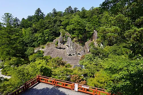 Komatsu City, Komatsu Shi39 km NW
-
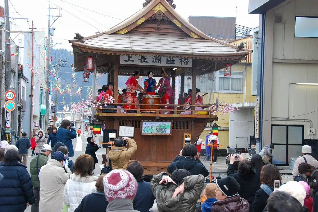 Katsuyama City, Katsuyama Shi27 km SW
-
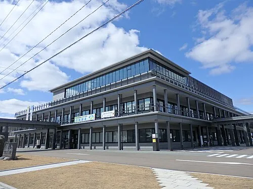 Ono City, Ōno32 km SW
-
Shirakawa-go Village, Shirakawa Mura16 km NE
-
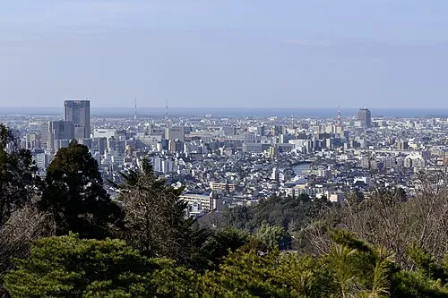 Kanazawa City, Kanazawa50 km N
Nearby attractions & nature
Everything nearby-
Betsu-zan Mountain, Shirakawa Mura6.5 km S
-
Mount Sannomine Mountain, Takayama Shi8.5 km S
-
 Mount Dainichi Mountain, Gujō Shi19 km S
Sources & licences
Data last updated: · 2 independent sources