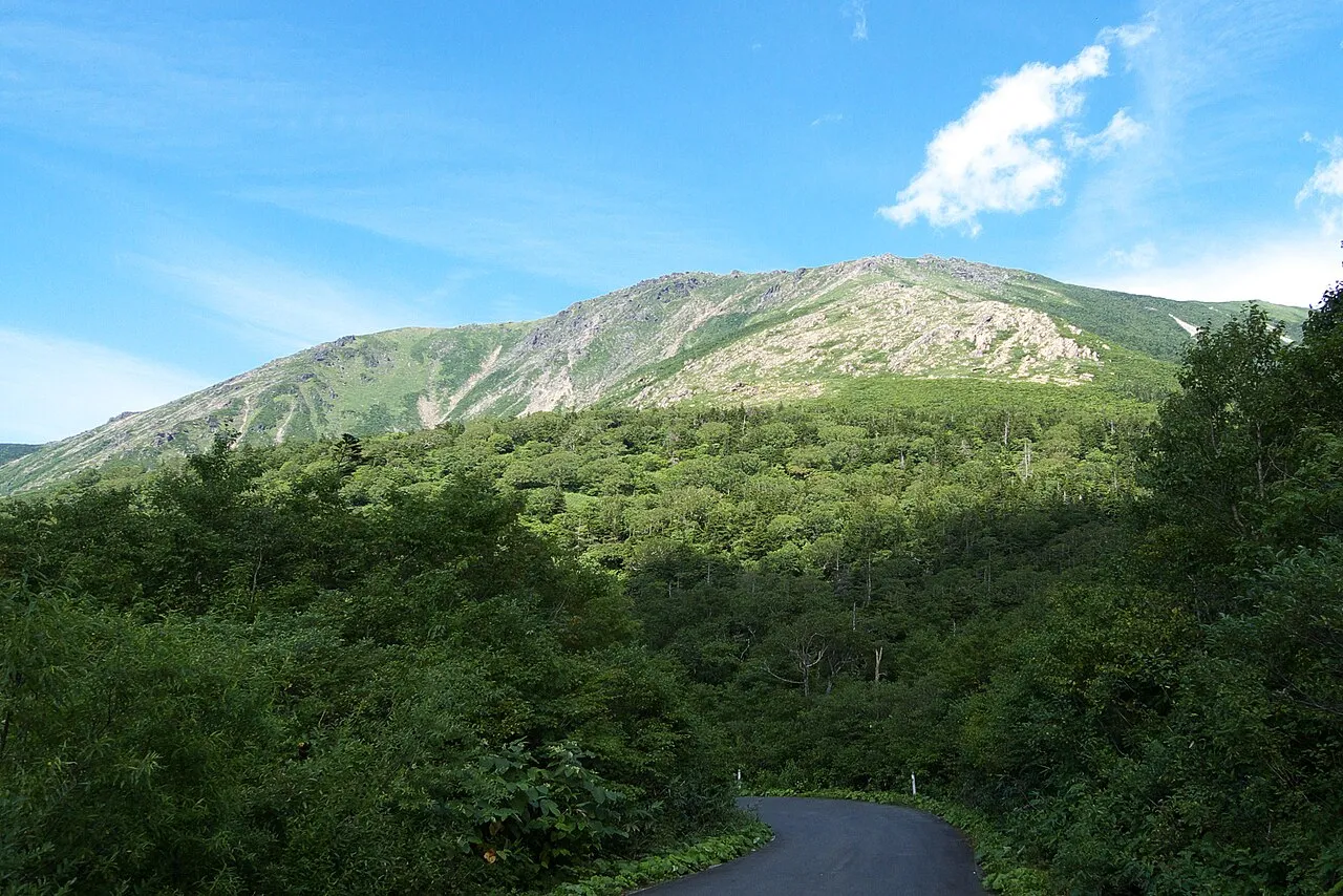
- Elevation
- 1,914 m
- above sea level
- Local time
- UTC+09:00
- Asia/Tokyo · UTC+09:00
- Airports
- HNA Iwate Hanamaki Airport34 km
- AXT Akita Airport109 km
About Hayachine
Hayachine is a mountain. Location: Miyako Shi, Iwate. Elevation: 1,914 m.
Mount Hayachine (早池峰山, Hayachine-san) is the highest mountain in the Kitakami Range, located in the Tōhoku region of northern Honshū, Japan. With an elevation of 1,917 m (6,289 ft), it is the second highest in Iwate Prefecture after Mount Iwate. Mount Hayachine is mentioned in 100 Famous Japanese Mountains, a book written in 1964 by Kyūya Fukada. The mountain is on the borders of the municipalities of Hanamaki, Tōno, and Miyako, east of the prefectural capital of Morioka.
Source: Wikipedia · CC BY-SA 4.0
At a glance
- Heritage designation
- Special Natural Monument
Source: Wikidata
Climate of Hayachine
This month · November
A cold month
Day 0° · Night -9° · Rain 95 mm
- Hottest month
- August (day 16°)
- Coldest month
- January (night -17°)
- Wettest month
- August (195 mm)
- Driest month
- January (66 mm)
Bars: average monthly low and high temperature. Below: precipitation. Monthly averages for 1970–2000 at about 18 km resolution, adjusted for elevation. Highlighted months are mild and relatively dry. Source: WorldClim 2.1 (CC BY 4.0).
Show values as a table
| Month | Jan | Feb | Mar | Apr | May | Jun | Jul | Aug | Sep | Oct | Nov | Dec |
|---|---|---|---|---|---|---|---|---|---|---|---|---|
| Average high (°C) | -9° | -9° | -5° | 2° | 8° | 11° | 15° | 16° | 12° | 6° | 0° | -6° |
| Average low (°C) | -17° | -17° | -14° | -8° | -2° | 2° | 7° | 8° | 4° | -3° | -9° | -14° |
| Precipitation (mm) | 66 | 67 | 92 | 115 | 117 | 140 | 183 | 195 | 192 | 130 | 95 | 72 |
How to get to Hayachine
The nearest airport is Iwate Hanamaki Airport (HNA), 34 km to the southwest as the crow flies. The nearest large city is Morioka, 32 km to the northwest.
Airports
- Iwate Hanamaki Airport (HNA) Hanamaki 34 kmsouthwest
- Akita Airport (AXT) Akita 109 kmwest
- Odate Noshiro Airport (ONJ) Kitaakita 118 kmnorthwest
Nearby large cities
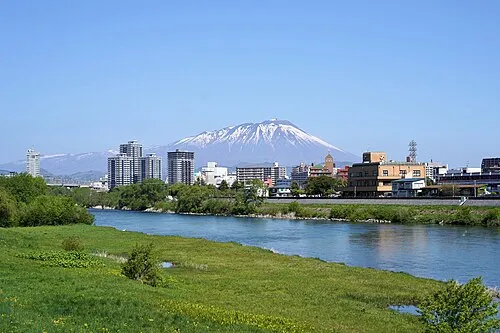
- Morioka Population: 290.7K 32 kmnorthwest
- Ōshū Population: 112.9K 55 kmsouthwest
- Ichinoseki Population: 114.5K 78 kmsouthwest
- Hachinohe Population: 239K 104 kmnorth
- Ōsaki Population: 128.8K 117 kmsouth
Straight-line distances; road distances are longer. Airport data: OurAirports.
Nearest towns and villages
Sources & licences
Data last updated: · 2 independent sources