Lancebranlette
Coordinates: 45°41′08″ N 6°51′23″ E
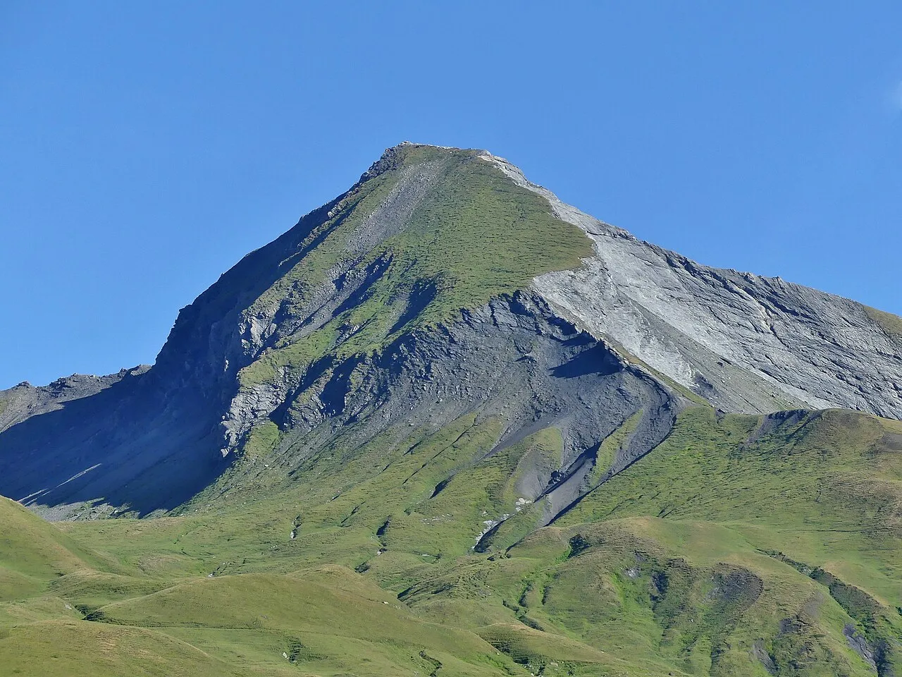
- Elevation
- 2,936 m
- above sea level
About Lancebranlette
Lancebranlette is a mountain. Elevation: 2,936 m.
Lancebranlette (Italian: Lancebranlette) is a mountain of Savoie, France and of Aosta Valley, Italy. It lies in the Mont Blanc Massif range. It has an elevation of 2,936 metres above sea level.
Read more on Wikipedia Text: Wikipedia contributors · CC BY-SA 4.0 · shortened
At a glance
- Topographic prominence
- 147 m
Source: Wikidata
In comparison
- No. 536 of 4295 mountains in Italy by elevation
- 24 sights and natural places within 10 km Lancebranlette, Sommet des Rousses
Nearest towns and villages
-
Séez Village, Arrondissement of Albertville8.2 km SW
-
La Colonne Village, Séez3.9 km S
-
La Thuile Municipality, Province of Aosta8 km NE
-
Montvalezan Village, Arrondissement of Albertville8.2 km S
-
Séez Village, Séez8.1 km SW
-
La Thuile Village, La Thuile8 km NE
Nearby attractions & nature
Everything nearby-
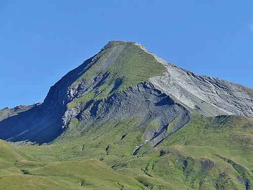 Lancebranlette Mountain, Savoy0.3 km NE
-
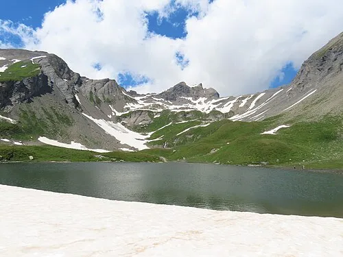 Sommet des Rousses Mountain, Séez0.5 km SW
-
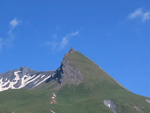 Roc de Belleface Mountain, Séez1.5 km SW
-
Aiguilles de Beaupré Mountain, Bourg-Saint-Maurice2.3 km NW
-
Pointe du Clapey Mountain, Séez3.7 km SW
-
Monte Belvedere Mountain, La Thuile3.5 km E
-
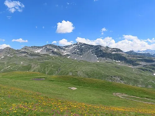 Mont Valaisan Mountain, Savoy4.3 km SE
-
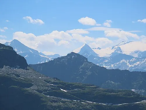 Pointe de Couloureuse Mountain, Montvalezan6.1 km SE
Sources & licences
Data last updated: