Kirkenes kirke
Located in Sør-Varanger, Finnmark Coordinates: 69°43′42″ N 30°02′39″ E
- Local time
- UTC+01:00
- Europe/Oslo · UTC+01:00
- Elevation
- 10 m
- above sea level
About Kirkenes kirke
Kirkenes kirke is a tourist attraction. Location: Sør-Varanger, Finnmark.
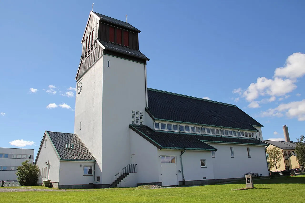
Kirkenes Church (Norwegian: Kirkenes kirke) is a parish church of the Church of Norway in Sør-Varanger Municipality in Finnmark county, Norway. It is located in the town of Kirkenes, just off the European route E06 highway. It is one of the churches for the Sør-Varanger parish which is part of the Varanger prosti (deanery) in the Diocese of Nord-Hålogaland. The white, concrete church was built in a long church style in 1959 by the architect Sofus Hougen. The church seats about 275 people.
Read more on Wikipedia Text: Wikipedia contributors · CC BY-SA 4.0 · shortened
At a glance
- Built
- 1959
Source: Wikidata
In comparison
- 2 sights and natural places within 10 km Strømsbrua, Bøkfjordbrua
Nearby attractions & nature
Everything nearby-
 Bøkfjordbrua Landmark, Sør-Varanger5.9 km SE
-
Strømsbrua Landmark, Sør-Varanger5.4 km SW
-
Bøkfjord fyr Landmark, Sør-Varanger17 km N
-
Skogerøypynten Landmark, Sør-Varanger14 km W
-
Tårnet skolekapell Attraction, Sør-Varanger17 km E
Nearest towns and villages
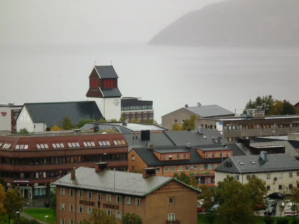
More sights in Sør-Varanger
-
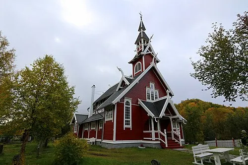 Neiden kapell Attraction, Sør-Varanger26 km W
-
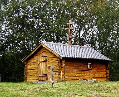 St. Georgs kapell Attraction, Sør-Varanger26 km W
-
 Neiden bru Landmark, Sør-Varanger26 km W
-
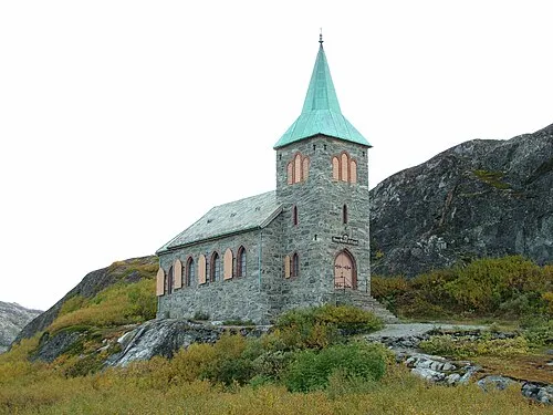 Kong Oscar IIs kapell Attraction, Sør-Varanger30 km E
-
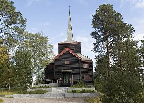 Svanvik kirke Attraction, Sør-Varanger31 km S
-
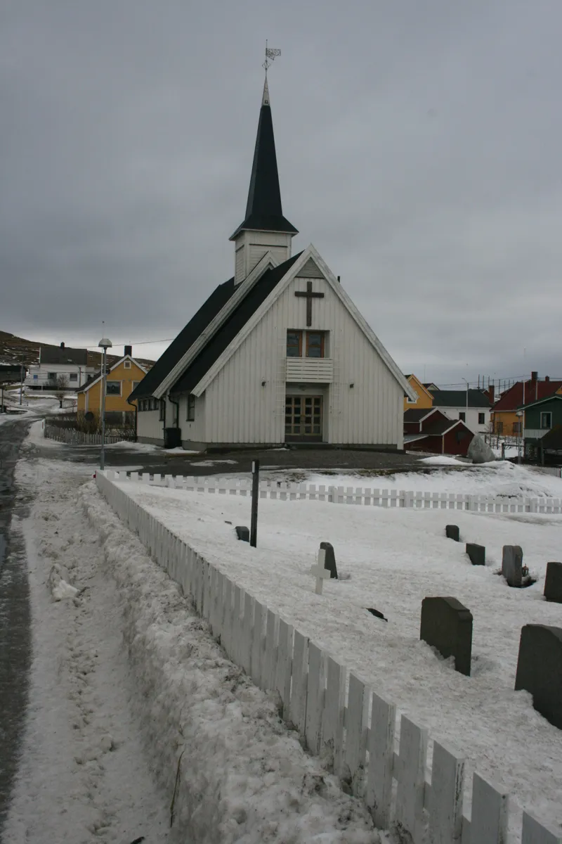 Bugøynes kapell Attraction, Sør-Varanger32 km NW
Sources & licences
Data last updated: · 2 independent sources