Sand
Located in Nord-Odal, Innlandet Coordinates: 60°23′32″ N 11°32′25″ E
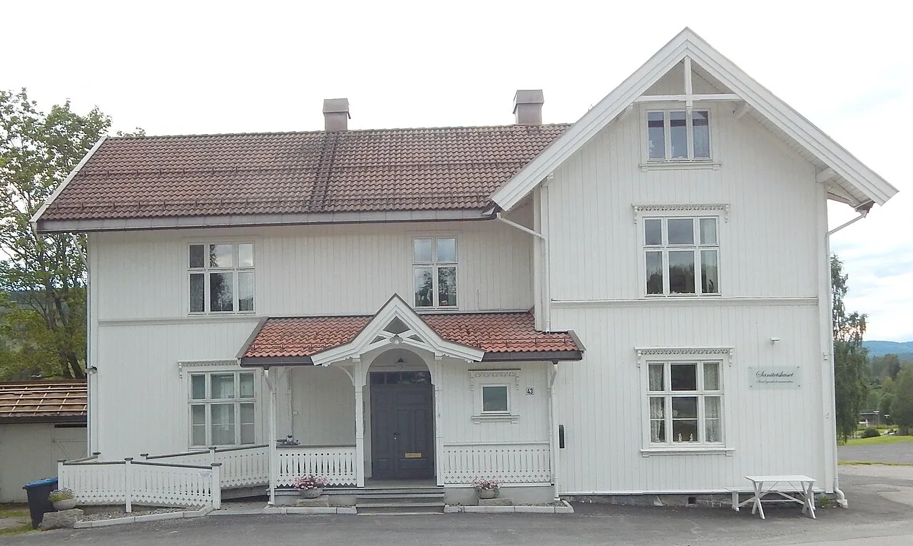
- Population
- 946
- 946
- Elevation
- 160 m
- above sea level
- Local time
- UTC+01:00
- Europe/Oslo · UTC+01:00
About Sand
Sand is a city. Location: Nord-Odal, Innlandet. Population: 946. Elevation: 160 m.
Sand was the administrative centre of Nord-Odal Municipality in Innlandet county, Norway. The village layed between two lakes, Råsån and the northwestern arm of Storsjøen. The village of Mo layed about 8 kilometres (5.0 mi) to the east of Sand. Sand Church layed in the village. This village was the eastern terminus of the Norwegian County Road 181. The 1.33-square-kilometre (330-acre) village had a population (2024) of 1,131 and a population density of 850 inhabitants per square kilometre (2,200/sq mi).
Read more on Wikipedia Text: Wikipedia contributors · CC BY-SA 4.0 · shortened
At a glance
- Area
- 1.4 km²
Source: Wikidata
In comparison
Airports nearest to Sand
- Oslo-Gardermoen International Airport (OSL) Oslo (Gardermoen) 33 km
- Torsby Airport (TYF) Torsby 84 km
- Scandinavian Mountains Airport (SCR) Malung-Sälen 111 km
Straight-line distance; airports with scheduled flights only. Source: OurAirports (public domain).
Sources & licences
Data last updated: · 2 independent sources