Batnfjordsøra
Located in Gjemnes, Møre og Romsdal Coordinates: 62°53′41″ N 7°40′21″ E
- Population
- 387
- 387
- Elevation
- 3 m
- above sea level
- Local time
- UTC+01:00
- Europe/Oslo · UTC+01:00
About Batnfjordsøra
Batnfjordsøra is a city. Location: Gjemnes, Møre og Romsdal. Population: 387. Elevation: 3 m.
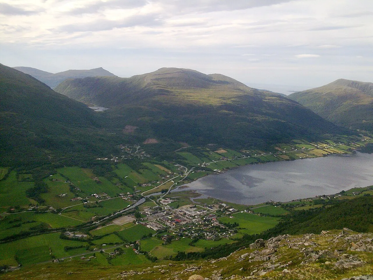
Batnfjordsøra is the administrative centre of Gjemnes Municipality in Møre og Romsdal county, Norway. The village is located at the end of the Batnfjorden at the mouth of the river Batnfjordelva. European Route E39 passes through the village on its way from Molde to Trondheim. The 0.39-square-kilometre (96-acre) village has a population (2024) of 367 and a population density of 941 inhabitants per square kilometre (2,440/sq mi).
Read more on Wikipedia Text: Wikipedia contributors · CC BY-SA 4.0 · shortened
At a glance
- Area
- 32 ha
Source: Wikidata
In comparison
Sources & licences
Data last updated: · 2 independent sources