Nordre Vartdal
Located in Ørsta, Møre og Romsdal Coordinates: 62°19′29″ N 6°08′36″ E
- Elevation
- 48 m
- above sea level
- Local time
- UTC+01:00
- Europe/Oslo · UTC+01:00
About Nordre Vartdal
Nordre Vartdal is a village. Location: Ørsta, Møre og Romsdal. Elevation: 48 m.
Nordre Vartdal is a village in Ørsta Municipality in Møre og Romsdal, Norway. The village is located along the Vartdalsfjorden about 4 kilometres (2.5 mi) northeast of the village of Vartdal. The village sits at the entrance to the Ådalen valley, at the mouth of the Storelva river. The European route E39 highway runs through Nordre Vartdal, right past Vartdal Church, which sits on the shore of the fjord.
Read more on Wikipedia Text: Wikipedia contributors · CC BY-SA 4.0 · shortened
In comparison
Nearby attractions & nature
Everything nearby-
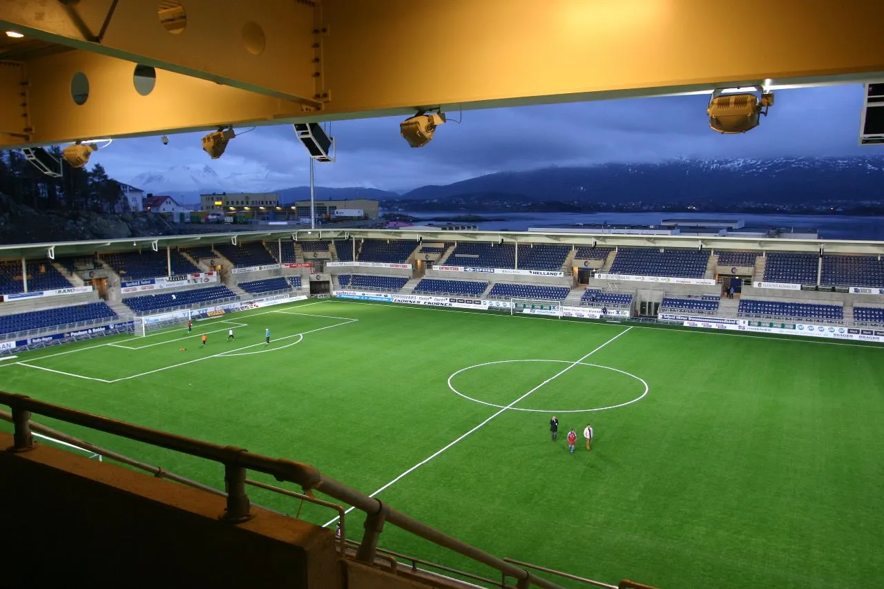 Color Line Stadion Landmark, Ålesund16 km N
-
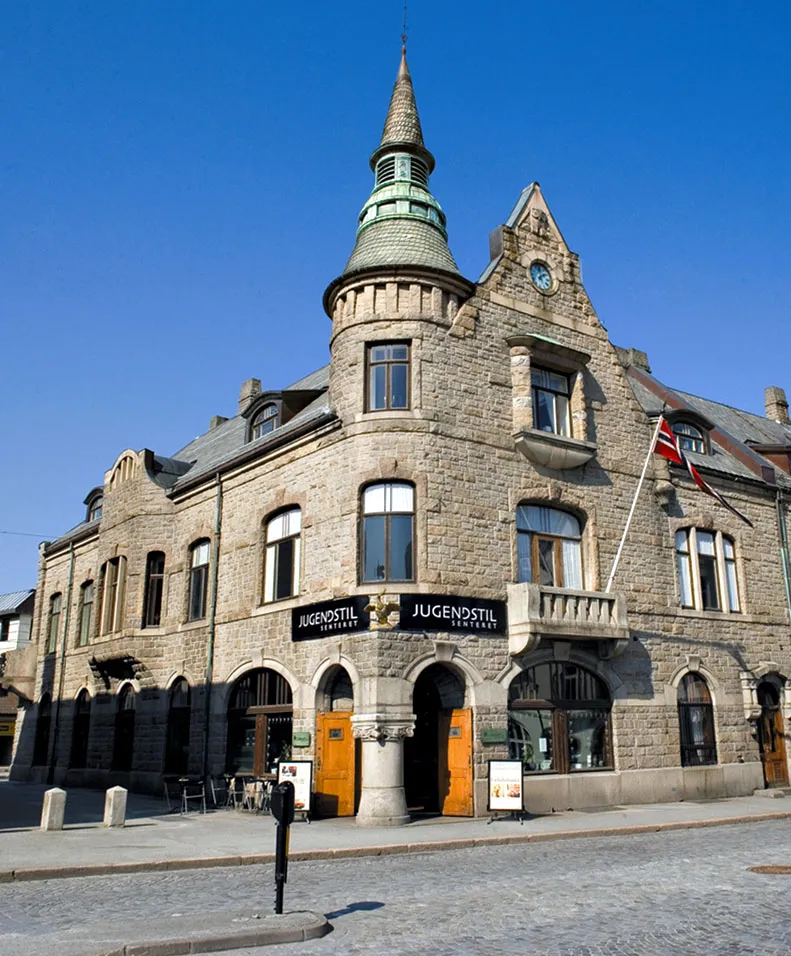 Jugendstilsenteret Museum, Ålesund16 km N
Sources & licences
Data last updated: · 2 independent sources