Langevåg
Located in Sula, Møre og Romsdal Coordinates: 62°26′27″ N 6°11′29″ E
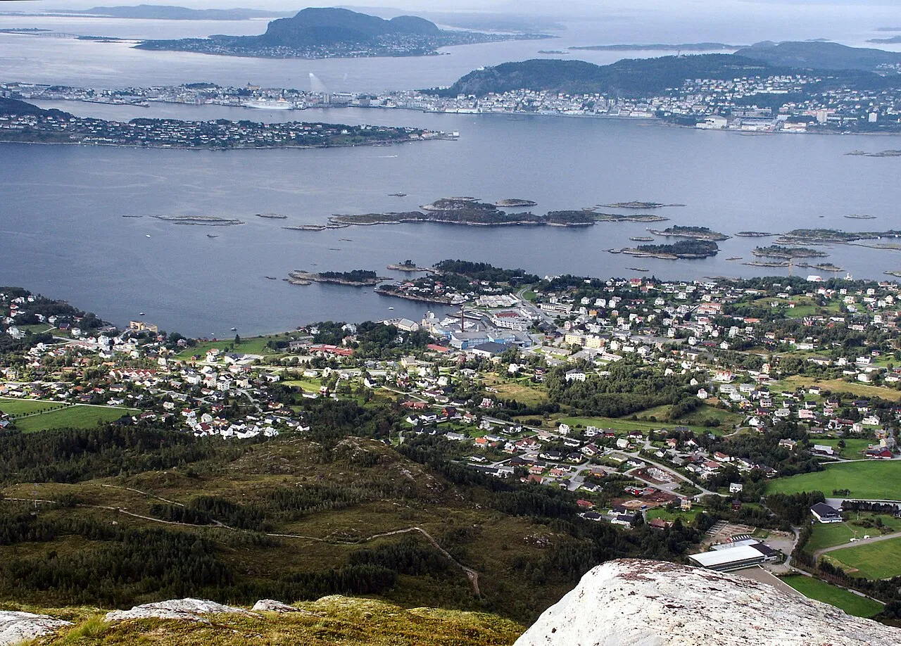
- Elevation
- 20 m
- above sea level
- Local time
- UTC+01:00
- Europe/Oslo · UTC+01:00
About Langevåg
Langevåg is a city. Location: Sula, Møre og Romsdal. Elevation: 20 m.
Langevåg is the administrative center of Sula Municipality in Møre og Romsdal county, Norway. The village is situated at the end of the road on the north side of the island of Sula, about 7 kilometres (4.3 mi) northwest of the village of Mauseidvåg. The village lies across the Borgundfjorden from the city of Ålesund. There is a passenger ferry from Langevåg to Ålesund which takes approximately 7 minutes.
Read more on Wikipedia Text: Wikipedia contributors · CC BY-SA 4.0 · shortened
At a glance
- Heritage designation
- cultural heritage preservation in Norway
Source: Wikidata
In comparison
- Nearest larger town: Ålesund, 4 km NW
- 2 sights and natural places within 10 km Color Line Stadion, Jugendstilsenteret
Nearby attractions & nature
Everything nearby-
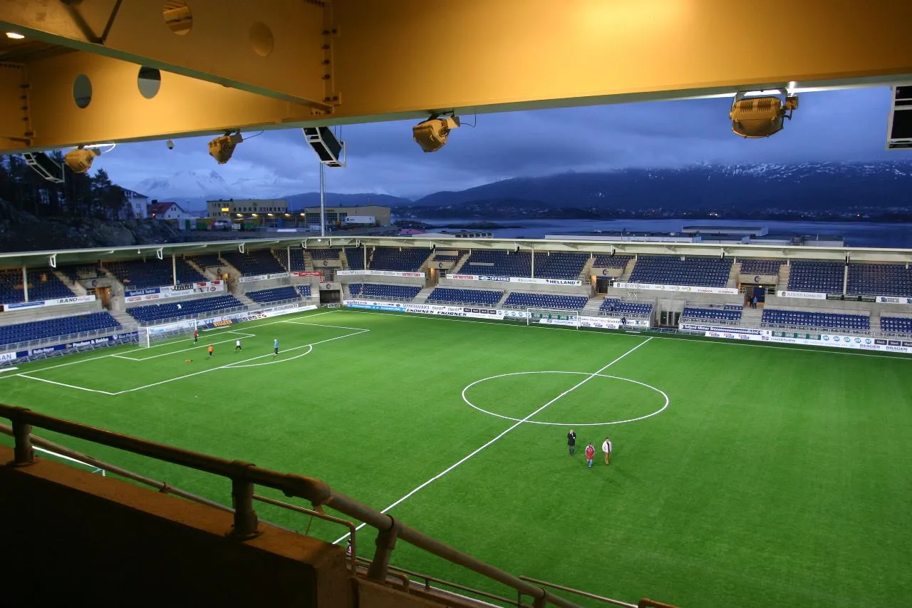 Color Line Stadion Landmark, Ålesund3.2 km N
-
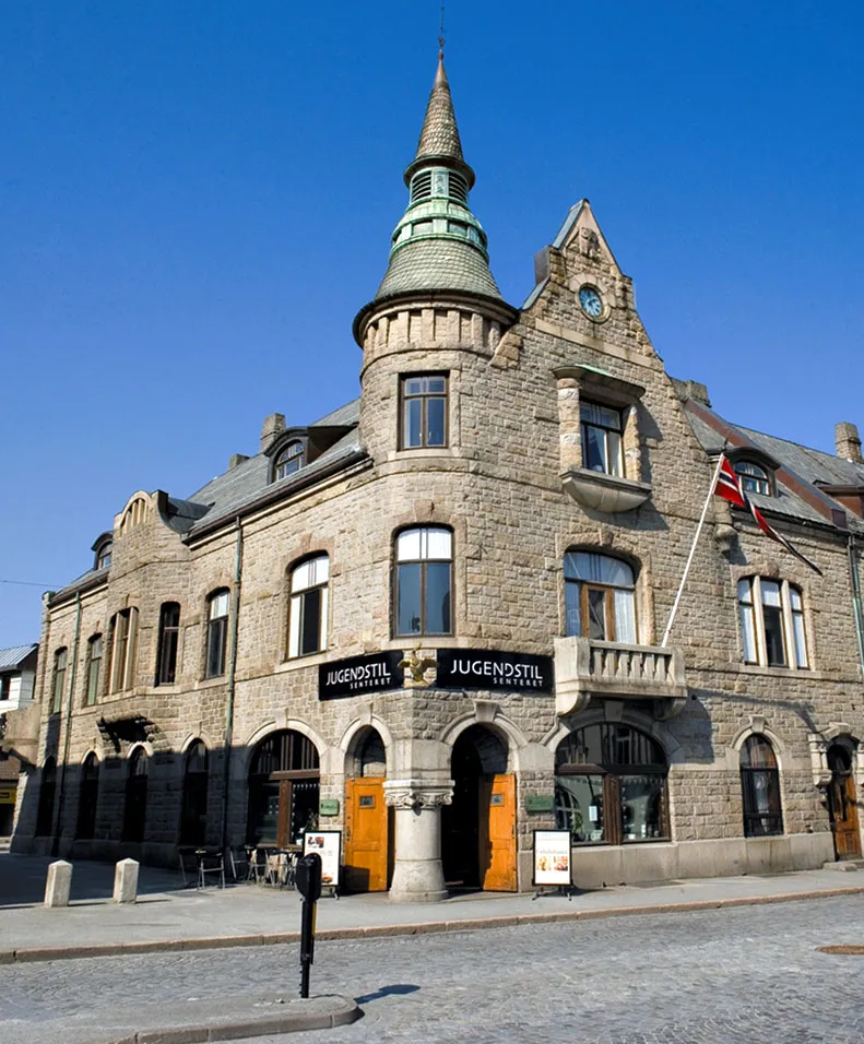 Jugendstilsenteret Museum, Ålesund4 km NW
Sources & licences
Data last updated: · 2 independent sources