Mauseidvåg
Located in Sula, Møre og Romsdal Coordinates: 62°25′19″ N 6°16′19″ E
- Elevation
- 76 m
- above sea level
- Local time
- UTC+01:00
- Europe/Oslo · UTC+01:00
About Mauseidvåg
Mauseidvåg is a village. Location: Sula, Møre og Romsdal. Elevation: 76 m.
Mauseidvåg or Mauseidvågen is a village in Sula Municipality in Møre og Romsdal county, Norway. It is part of the Ålesund Region and is located about 7 kilometres (4.3 mi) southeast of the municipal center of Langevåg and about 15 kilometres (9.3 mi) south of the town of Ålesund. The Indre Sula Church is located about 1.5 kilometres (0.93 mi) east of the village of Mauseidvåg. The European route E39 highway runs just east of the village too.
Read more on Wikipedia Text: Wikipedia contributors · CC BY-SA 4.0 · shortened
In comparison
- Nearest larger town: Ålesund, 8 km NW
- 2 sights and natural places within 10 km Color Line Stadion, Jugendstilsenteret
Nearby attractions & nature
Everything nearby-
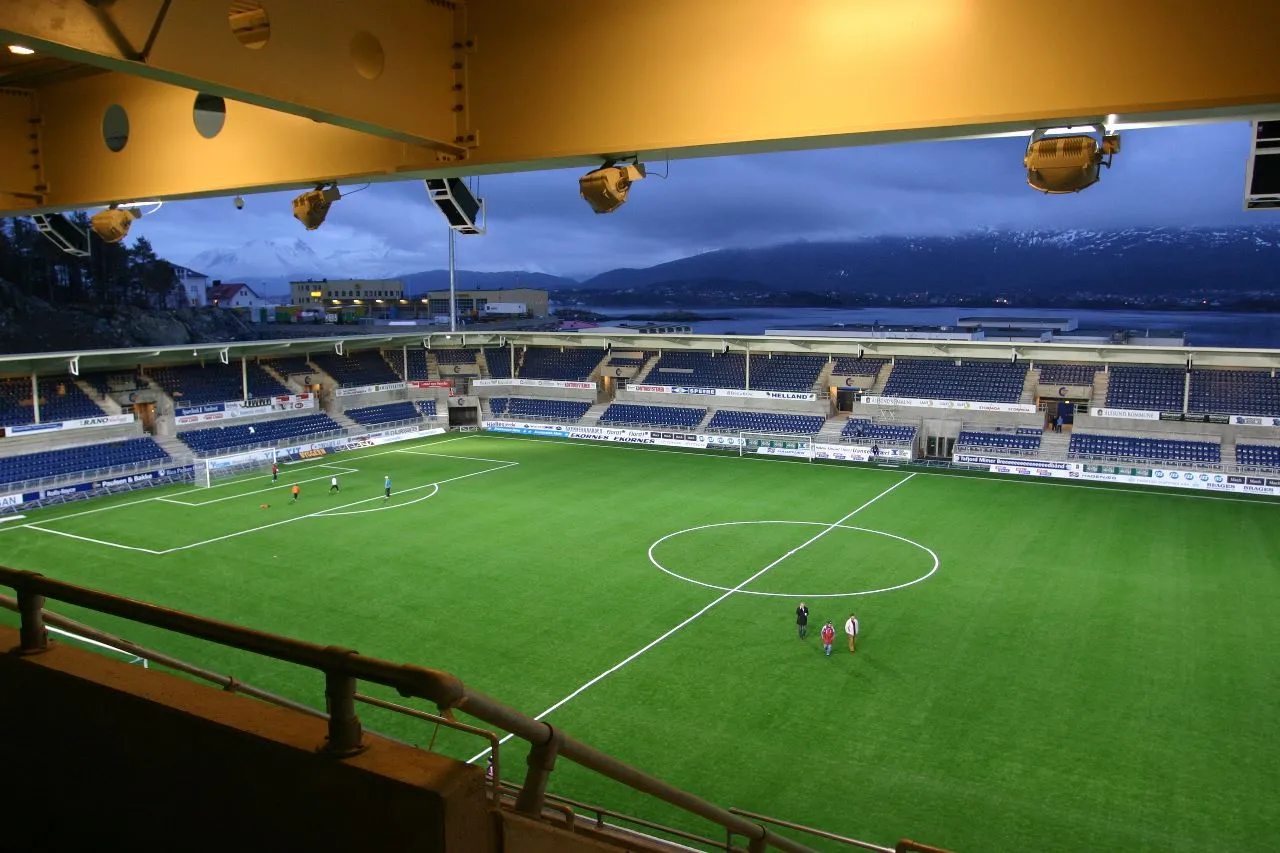 Color Line Stadion Landmark, Ålesund6.9 km NW
-
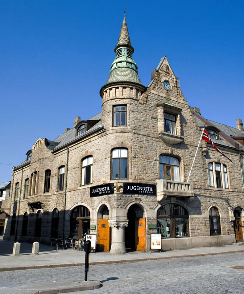 Jugendstilsenteret Museum, Ålesund8.3 km NW
Sources & licences
Data last updated: · 2 independent sources