Sørland
Located in Værøy, Nordland Coordinates: 67°39′56″ N 12°41′52″ E
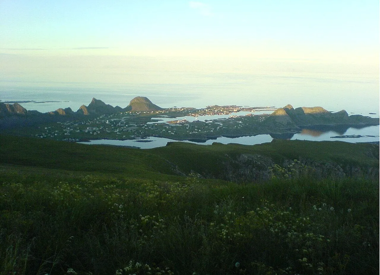
- Population
- 640
- 640
- Elevation
- 3 m
- above sea level
- Local time
- UTC+01:00
- Europe/Oslo · UTC+01:00
About Sørland
Sørland is a city. Location: Værøy, Nordland. Population: 640. Elevation: 3 m.
Sørland is a seaside resort, fishing village, and the administrative centre of Værøy Municipality in Nordland county, Norway. It is located on the southern side of the island of Værøya. The village is the main population center of the island, and it is the location of Værøy Church, Værøy Heliport, and Værøy Lighthouse. The village of Nordland lies about 5 kilometres (3.1 mi) to the north and the now-abandoned village of Måstad is located about 5 kilometres (3.1 mi) to the southwest.
Read more on Wikipedia Text: Wikipedia contributors · CC BY-SA 4.0 · shortened
At a glance
- Area
- 99 ha
Source: Wikidata
Climate of Sørland
| Month | Jan | Feb | Mar | Apr | May | Jun | Jul | Aug | Sep | Oct | Nov | Dec |
|---|---|---|---|---|---|---|---|---|---|---|---|---|
| Average high (°C) | 3° | 2° | 3° | 5° | 8° | 11° | 14° | 14° | 11° | 8° | 5° | 4° |
| Average low (°C) | 0° | -1° | 0° | 2° | 5° | 7° | 10° | 10° | 8° | 5° | 2° | 0° |
| Precipitation (mm) | 214 | 174 | 152 | 108 | 81 | 77 | 98 | 132 | 193 | 237 | 199 | 231 |
Monthly averages for 1970–2000 at about 18 km resolution, adjusted for elevation. Highlighted months are mild and relatively dry. Source: WorldClim 2.1 (CC BY 4.0).
Airports nearest to Sørland
- Leknes Airport (LKN) Leknes 66 km
- Bodø Airport (BOO) Bodø 84 km
- Svolvær Airport, Helle (SVJ) Svolvær 105 km
Straight-line distance; airports with scheduled flights only. Source: OurAirports (public domain).
Sources & licences
Data last updated: · 2 independent sources