Lyngseidet
Located in Lyngen, Troms Coordinates: 69°34′35″ N 20°13′08″ E
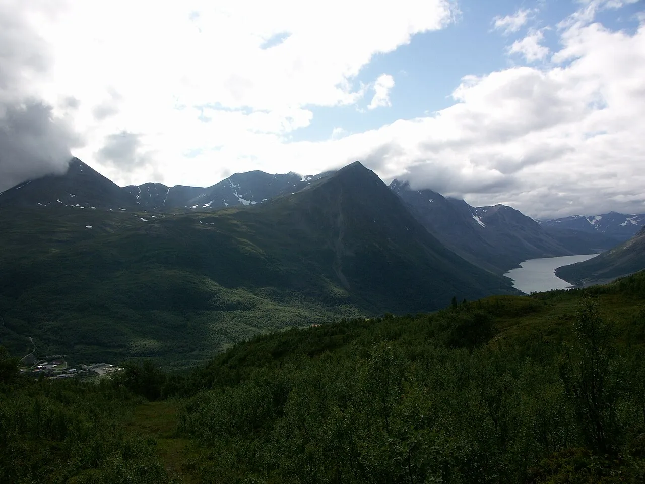
- Population
- 821
- 821
- Elevation
- 39 m
- above sea level
- Local time
- UTC+01:00
- Europe/Oslo · UTC+01:00
About Lyngseidet
Lyngseidet is a city. Location: Lyngen, Troms. Population: 821. Elevation: 39 m.
Lyngseidet (Norwegian), Muotki or Ivgumuotki (Northern Sami), or Muotka (Kven) is the administrative centre of Lyngen Municipality in Troms county, Norway. The village is located on an isthmus that is about 3 km (1.9 mi) wide between an arm of the Ullsfjorden and the Lyngenfjorden. The village is home to two grocery stores, Lyngen Church, nursing home, schools, daycare, pharmacy and library. A 9-metre (30 ft) tall plastic figure Santa Claus named Gollis is also located here.
Read more on Wikipedia Text: Wikipedia contributors · CC BY-SA 4.0 · shortened
At a glance
- Area
- 87 ha
Source: Wikidata
In comparison
Sources & licences
Data last updated: · 2 independent sources