Hjartås
Located in Alver, Vestland Coordinates: 60°31′47″ N 5°08′49″ E
- Elevation
- 66 m
- above sea level
- Local time
- UTC+01:00
- Europe/Oslo · UTC+01:00
About Hjartås
Hjartås is a village. Location: Alver, Vestland. Elevation: 66 m.
Hjartås is a village in Alver Municipality in Vestland county, Norway. The village lies along the Herdlefjorden on the western coast of the island of Holsnøy. The village is a part of the urban area of Holme. The 0.57-square-kilometre (140-acre) urban area of Holme (which includes Hjartås) has a population (2025) of 920, giving the village a population density of 1,614 inhabitants per square kilometre (4,180/sq mi).
Read more on Wikipedia Text: Wikipedia contributors · CC BY-SA 4.0 · shortened
In comparison
Airports nearest to Hjartås
- Bergen Airport, Flesland (BGO) Bergen 27 km
- Stord Airport, Sørstokken (SRP) Leirvik 83 km
- Florø Airport (FRO) Florø 118 km
Straight-line distance; airports with scheduled flights only. Source: OurAirports (public domain).
Nearby attractions & nature
Everything nearby-
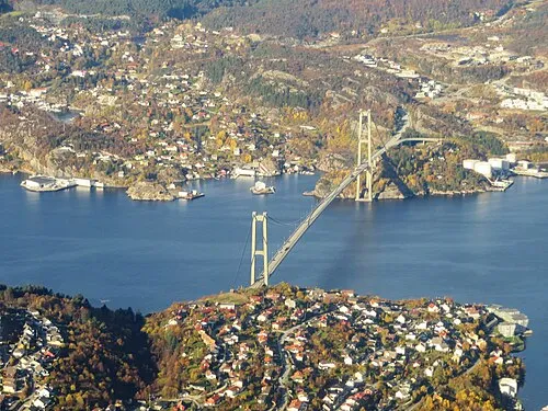 Askøy Bridge Landmark, Bergen15 km S
-
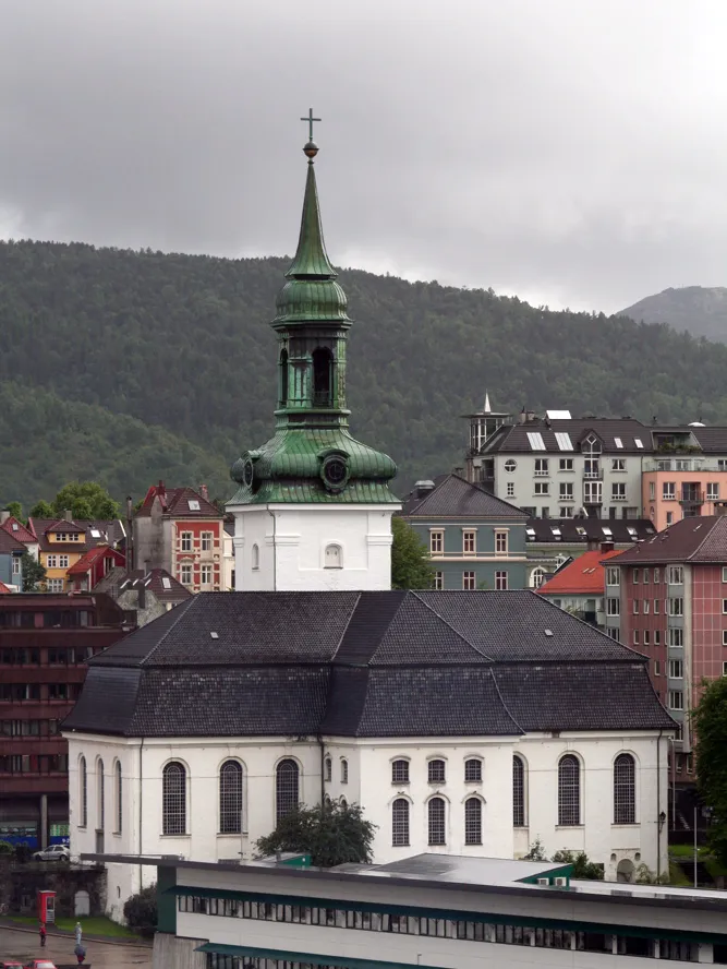 Nykirken Attraction, Bergen17 km SE
-
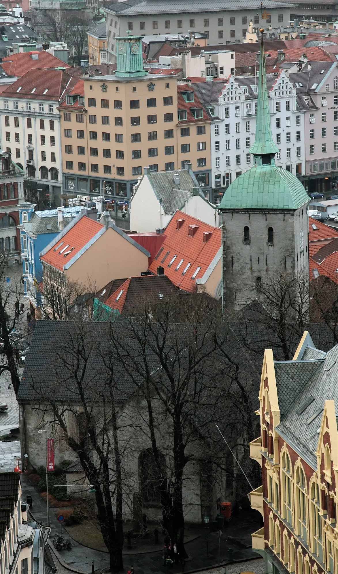 Korskirken Attraction, Bergen18 km SE
-
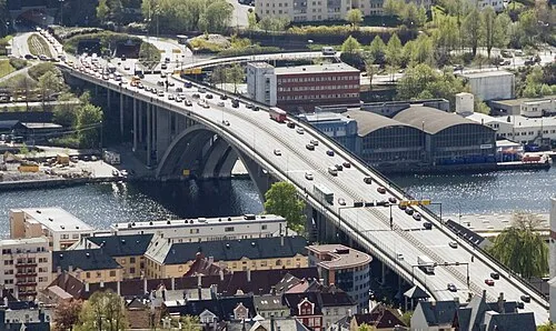 Puddefjord Bridge Landmark, Bergen19 km SE
-
Police Custody Camp Ulven Historic site, Bergen25 km SE
Sources & licences
Data last updated: · 2 independent sources