Manger
Located in Alver, Vestland Coordinates: 60°38′29″ N 5°02′29″ E
- Population
- 814
- 814
- Elevation
- 20 m
- above sea level
- Local time
- UTC+01:00
- Europe/Oslo · UTC+01:00
About Manger
Manger is a city. Location: Alver, Vestland. Population: 814. Elevation: 20 m.
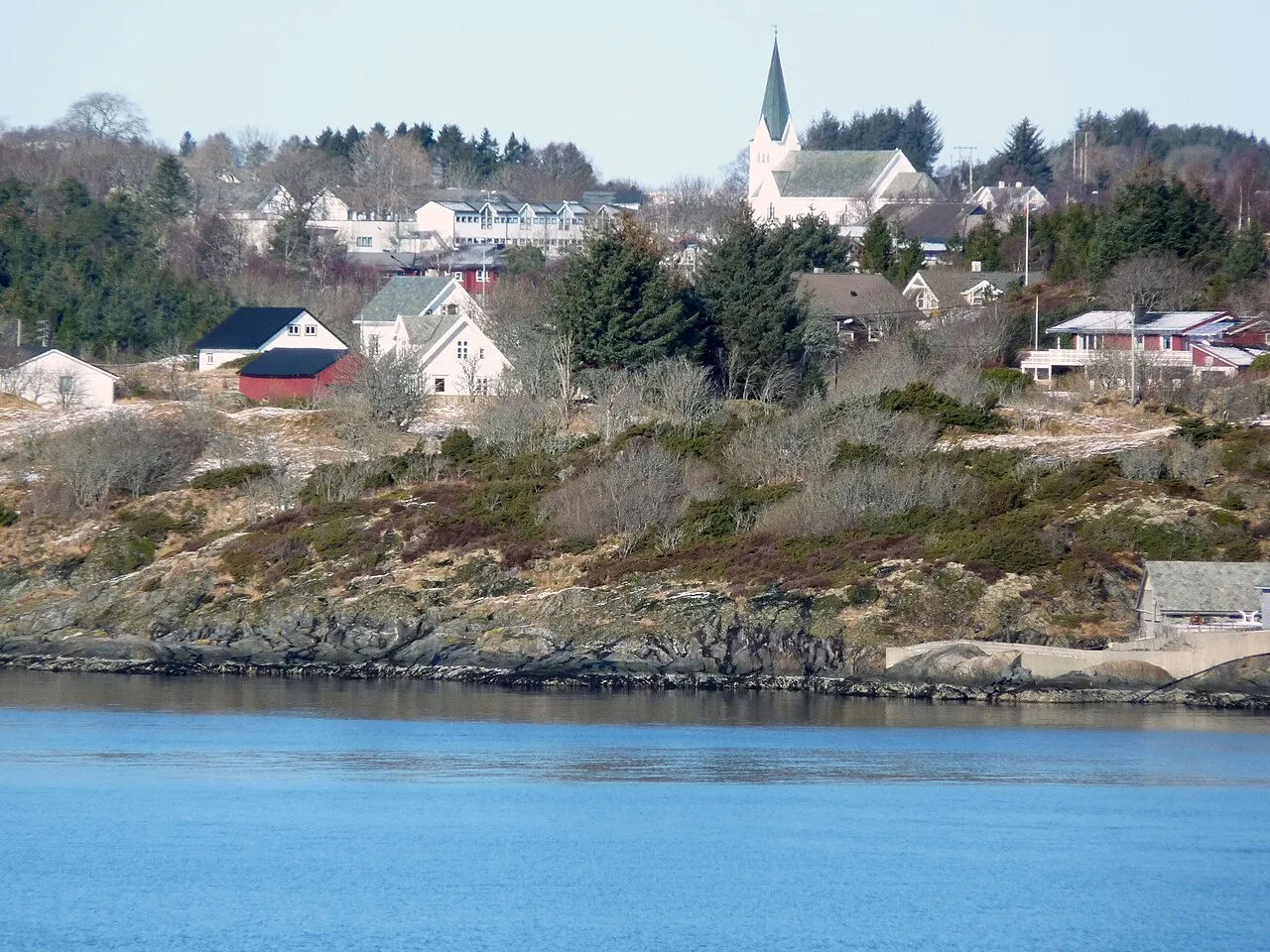
Manger is a village in Alver Municipality in Vestland county, Norway. The village lies in the central part of the island of Radøy, along the Radfjorden. The villages of Bøvågen and Haugland lie about 10 kilometres (6.2 mi) to the northwest and the village of Sæbø lies about 10 kilometres (6.2 mi) to the southeast. Manger Church is located in the village. The 1.05-square-kilometre (260-acre) village has a population (2025) of 1,142 and a population density of 1,088 inhabitants per square kilometre (2,820/sq mi).
Read more on Wikipedia Text: Wikipedia contributors · CC BY-SA 4.0 · shortened
At a glance
- Area
- 1 km²
Source: Wikidata
In comparison
- No. 4 of 5 places in Alver by population
- Nearest larger town: Lindås, 12 km NE
Sources & licences
Data last updated: · 2 independent sources