Kalfaret
Located in Bergen, Vestland Coordinates: 60°23′14″ N 5°20′44″ E
- Elevation
- 140 m
- above sea level
- Local time
- UTC+01:00
- Europe/Oslo · UTC+01:00
About Kalfaret
Kalfaret is a village. Location: Bergen, Vestland. Elevation: 140 m.
Kalfaret is a neighborhood in the city of Bergen in Vestland county, Norway. The neighborhood is located in the borough of Bergenhus, just north of the Store Lungegårdsvannet bay, east of the city centre. The area is an affluent neighborhood, although it is close to the main train line that runs into Bergen Station.
Read more on Wikipedia Text: Wikipedia contributors · CC BY-SA 4.0 · shortened
At a glance
- Area
- 82 ha
Source: Wikidata
In comparison
- Nearest larger town: Bergen, 1 km NW
- 5 sights and natural places within 10 km Korskirken, Puddefjord Bridge
Climate of Kalfaret
| Month | Jan | Feb | Mar | Apr | May | Jun | Jul | Aug | Sep | Oct | Nov | Dec |
|---|---|---|---|---|---|---|---|---|---|---|---|---|
| Average high (°C) | 3° | 3° | 5° | 9° | 13° | 16° | 17° | 17° | 14° | 10° | 6° | 4° |
| Average low (°C) | -1° | -1° | 0° | 2° | 6° | 9° | 11° | 11° | 8° | 6° | 2° | 0° |
| Precipitation (mm) | 261 | 216 | 217 | 133 | 116 | 142 | 163 | 212 | 303 | 297 | 292 | 320 |
Monthly averages for 1970–2000 at about 18 km resolution, adjusted for elevation. Highlighted months are mild and relatively dry. Source: WorldClim 2.1 (CC BY 4.0).
Airports nearest to Kalfaret
- Bergen Airport, Flesland (BGO) Bergen 13 km
- Stord Airport, Sørstokken (SRP) Leirvik 66 km
- Haugesund Airport, Karmøy (HAU) Karmøy 116 km
Straight-line distance; airports with scheduled flights only. Source: OurAirports (public domain).
Nearby attractions & nature
Everything nearby-
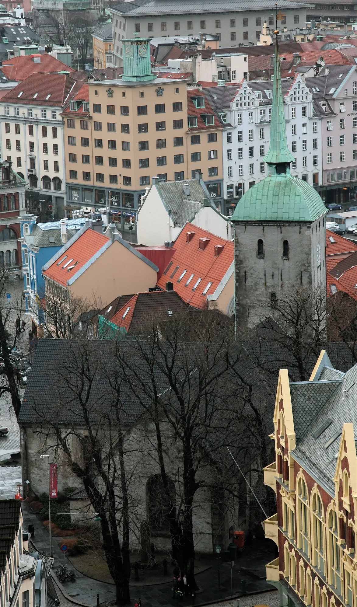 Korskirken Attraction, Bergen1.3 km NW
-
 Puddefjord Bridge Landmark, Bergen1.6 km W
-
 Nykirken Attraction, Bergen2.2 km NW
-
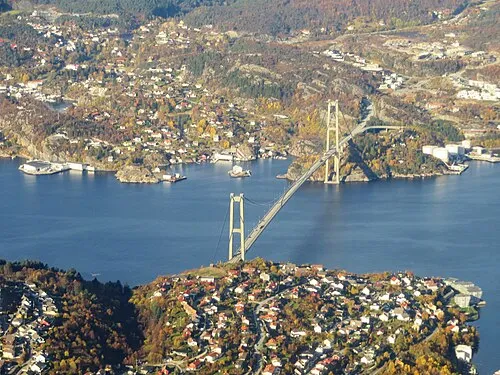 Askøy Bridge Landmark, Bergen7.3 km W
-
Police Custody Camp Ulven Historic site, Bergen7.3 km E
-
 Fana Stadion Landmark, Bergen11 km S
Sources & licences
Data last updated: · 2 independent sources