- Population
- 1,305
- 1.3K
- Elevation
- 60 m
- above sea level
- Local time
- UTC+01:00
- Europe/Oslo · UTC+01:00
- Airports
- BGO Bergen Airport, Flesland16 km
- SRP Stord Airport, Sørstokken43 km
About Hagavik
Hagavik is a village. Location: Bjørnafjorden, Vestland. Population: 1,305. Elevation: 60 m. The nearest airport is Bergen Airport, Flesland (16 km). Nearby sights include Fana Stadion and Korskirken.
Climate of Hagavik
This month · November
A wet month
Day 7° · Night 3° · Rain 262 mm
- Hottest month
- July (day 18°)
- Coldest month
- February (night -1°)
- Wettest month
- December (283 mm)
- Driest month
- May (108 mm)
Bars: average monthly low and high temperature. Below: precipitation. Monthly averages for 1970–2000 at about 18 km resolution, adjusted for elevation. Highlighted months are mild and relatively dry. Source: WorldClim 2.1 (CC BY 4.0).
Show values as a table
| Month | Jan | Feb | Mar | Apr | May | Jun | Jul | Aug | Sep | Oct | Nov | Dec |
|---|---|---|---|---|---|---|---|---|---|---|---|---|
| Average high (°C) | 4° | 4° | 6° | 9° | 14° | 16° | 18° | 17° | 14° | 11° | 7° | 5° |
| Average low (°C) | -1° | -1° | 1° | 2° | 6° | 9° | 11° | 11° | 9° | 6° | 3° | 0° |
| Precipitation (mm) | 227 | 191 | 190 | 120 | 108 | 130 | 151 | 194 | 272 | 271 | 262 | 283 |
How to get to Hagavik
The nearest airport is Bergen Airport, Flesland (BGO), 16 km to the northwest as the crow flies. The nearest large city is Bergen, 24 km to the north.
Airports
- Bergen Airport, Flesland (BGO) Bergen 16 kmnorthwest
- Stord Airport, Sørstokken (SRP) Leirvik 43 kmsouth
- Haugesund Airport, Karmøy (HAU) Karmøy 94 kmsouth
Nearby large cities
- Bergen Population: 294K 24 kmnorth
- Stavanger Population: 151.7K 136 kmsouth
- Kristiansand Population: 117.2K 271 kmsoutheast
- Drammen Population: 106K 273 kmeast
- Oslo Population: 1.1M 299 kmeast
Straight-line distances; road distances are longer. Airport data: OurAirports.
Day trips from Hagavik
Within 100 km: 8 historic and cultural sites.
0–25 km5 places
- Korskirken Attraction 24 kmN
- Nykirken Attraction 25 kmN
- Police Custody Camp Ulven Historic site 22 kmN
- Fana Stadion Landmark 13 kmN
25–60 km2 places
- Askøy Bridge Landmark 26 kmNW
- Stord Bridge Landmark 48 kmS
60–100 km1 place
- Gulen Church Attraction 91 kmN
Straight-line distances.
Nearby attractions & nature
Everything nearby-
 Fana Stadion Landmark, Bergen13 km N
-
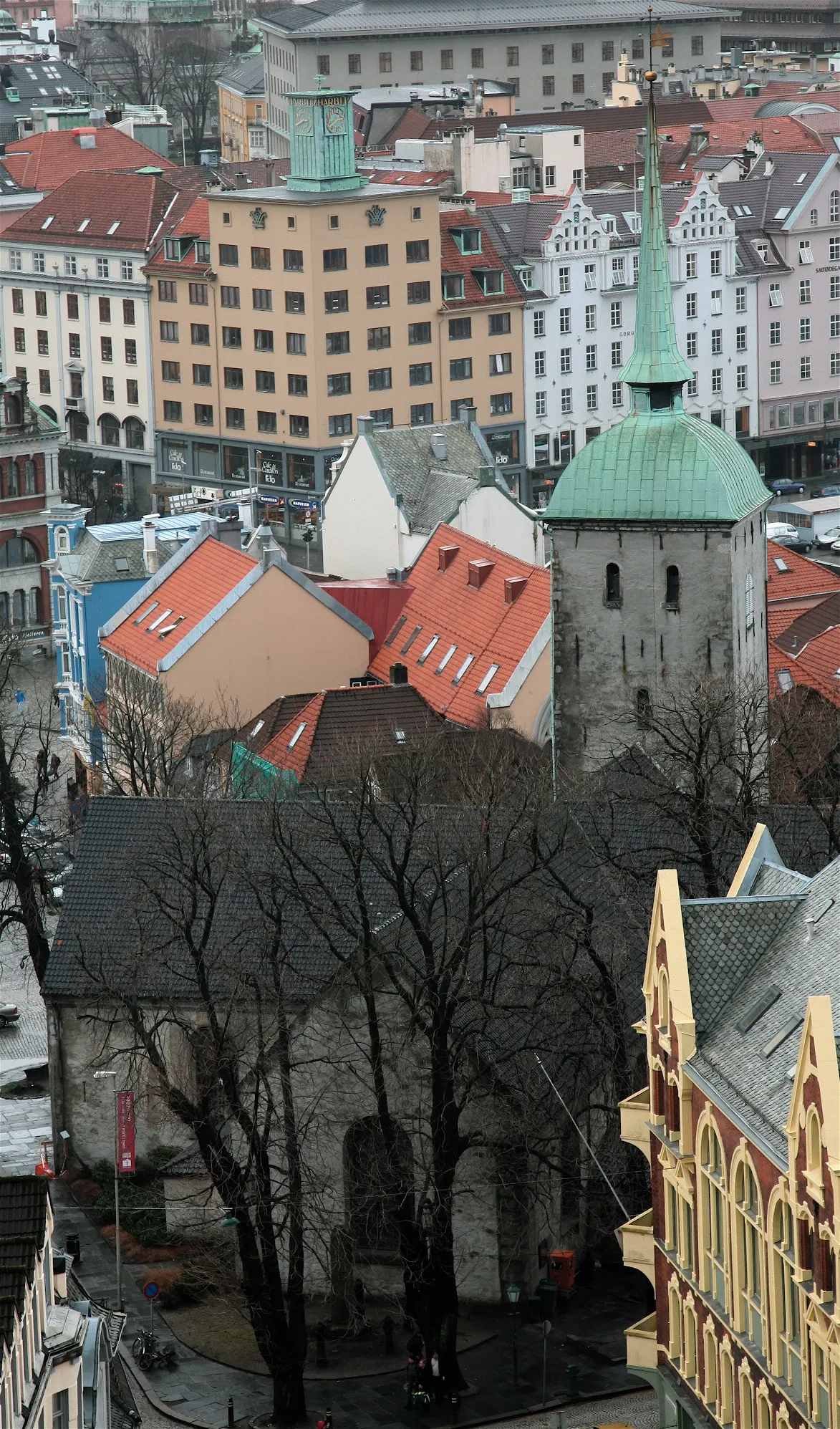 Korskirken Attraction, Bergen24 km N
-
 Nykirken Attraction, Bergen25 km N
-
 Puddefjord Bridge Landmark, Bergen23 km N
-
Police Custody Camp Ulven Historic site, Bergen22 km N
Sources & licences
Data last updated: