Knappskog
Located in Øygarden, Vestland Coordinates: 60°22′45″ N 5°03′22″ E
- Population
- 1,640
- 1.6K
- Elevation
- 1 m
- above sea level
- Local time
- UTC+01:00
- Europe/Oslo · UTC+01:00
About Knappskog
Knappskog is a village. Location: Øygarden, Vestland. Population: 1,640. Elevation: 1 m.
Knappskog is a village in Øygarden Municipality in Vestland county, Norway. The village lies along the northeastern coast of the island of Sotra, about halfway between the villages of Ågotnes (to the north) and Kolltveit (to the south). The island of Geitanger lies about 500 metres (1,600 ft) off the coast of Knappskog. The 0.9-square-kilometre (220-acre) village has a population (2025) of 1,601 and a population density of 1,779 inhabitants per square kilometre (4,610/sq mi).
Read more on Wikipedia Text: Wikipedia contributors · CC BY-SA 4.0 · shortened
At a glance
- Area
- 94 ha
Source: Wikidata
In comparison
- No. 2 of 14 places in Øygarden by population
- Nearest larger town: Ågotnes, 3 km NW
Airports nearest to Knappskog
- Bergen Airport, Flesland (BGO) Bergen 13 km
- Stord Airport, Sørstokken (SRP) Leirvik 67 km
- Haugesund Airport, Karmøy (HAU) Karmøy 115 km
Straight-line distance; airports with scheduled flights only. Source: OurAirports (public domain).
Nearby attractions & nature
Everything nearby-
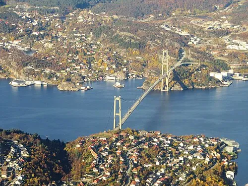 Askøy Bridge Landmark, Bergen9 km E
-
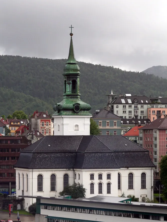 Nykirken Attraction, Bergen14 km E
-
 Puddefjord Bridge Landmark, Bergen14 km E
-
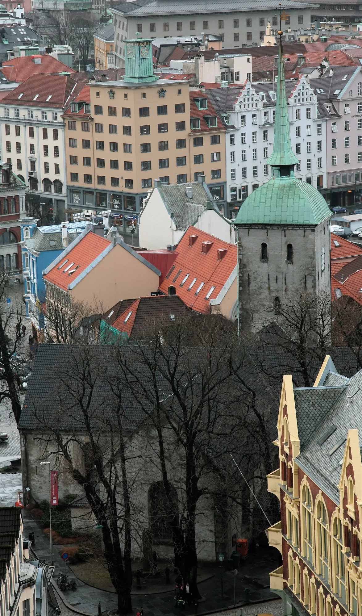 Korskirken Attraction, Bergen15 km E
-
 Fana Stadion Landmark, Bergen18 km SE
-
Police Custody Camp Ulven Historic site, Bergen23 km E
Sources & licences
Data last updated: · 2 independent sources