Stord Bridge
Located in Stord, Vestland Coordinates: 59°44′52″ N 5°24′10″ E
- Local time
- UTC+01:00
- Europe/Oslo · UTC+01:00
- Elevation
- 1 m
- above sea level
About Stord Bridge
Stord Bridge is a landmark. Location: Stord, Vestland.
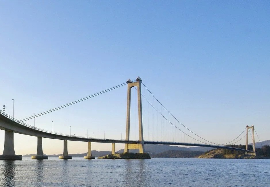
The Stord Bridge (Norwegian: Stordabrua) is a suspension bridge which crosses Digernessundet between the islands of Stord and Føyno in Stord Municipality in Vestland county, Norway. The bridge is 1,077 meters (3,533 ft) long, has a main span of 677 meters (2,221 ft) and a clearance below of 18 meters (59 ft). It carries two lanes of European Route E39 and a combined pedestrian and bicycle pathway. It is part of the Triangle Link, a fixed link which connects the islands of Stord and Bømlo, and both to the mainland.
Read more on Wikipedia Text: Wikipedia contributors · CC BY-SA 4.0 · shortened
At a glance
- Built
- 2000
- Opened
- 2000
- Height
- 97 m
- Length
- 1.1 km
Source: Wikidata
Nearest towns and villages
-
Valvatna Village, Stord2.3 km N
-
Sagvåg Village, Stord3.8 km N
-
 Leirvik City, Stord6.6 km NE
-
Mosterhamn Village, Bømlo5.5 km S
Sources & licences
Data last updated: · 2 independent sources