Konin County
Located in Greater Poland Voivodeship, Poland Coordinates: 52°15′35″ N 18°17′46″ E
- Population
- 129,715
- 129.7K
- Elevation
- 112 m
- above sea level
- Local time
- UTC+01:00
- Europe/Warsaw · UTC+01:00
- Places inside
- 14
- listed under Konin County
About Konin County
Konin County is a district. Location: Greater Poland Voivodeship, Poland. Population: 129,715.
In comparison
- Listed here: Municipality: 14
Places in Konin County
14 places-
Gmina Ślesin Municipality14K
-
Stare Miasto Municipality12.2K
-
Gmina Golina Municipality12K
-
Gmina Kazimierz Biskupi Municipality11.5K
-
Gmina Kramsk Municipality11.1K
-
Sompolno Municipality10.4K
-
Gmina Kleczew Municipality10K
-
Gmina Rychwał Municipality8.3K
-
Krzymów Municipality8K
-
Wierzbinek Municipality7.4K
-
Rzgów Municipality7.2K
-
Wilczyn Municipality6.2K
-
Gmina Skulsk Municipality6.1K
-
Grodziec Municipality5.2K
Nature and heritage in Konin County
-
Złota Góra Mountain, Krzymów
-
Grodziec Ghetto Historic site, Grodziec
-
Sompolno Ghetto Historic site, Sompolno
Nearby attractions & nature
Everything nearby-
Tuliszków Ghetto Historic site, Tuliszków20 km S
-
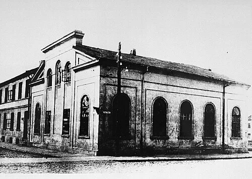 Koło Ghetto Historic site, Kościelec23 km E
Sources & licences
Data last updated: