Beskid Sądecki
Located in Lesser Poland Voivodeship, Poland Coordinates: 49°27′00″ N 20°45′00″ E
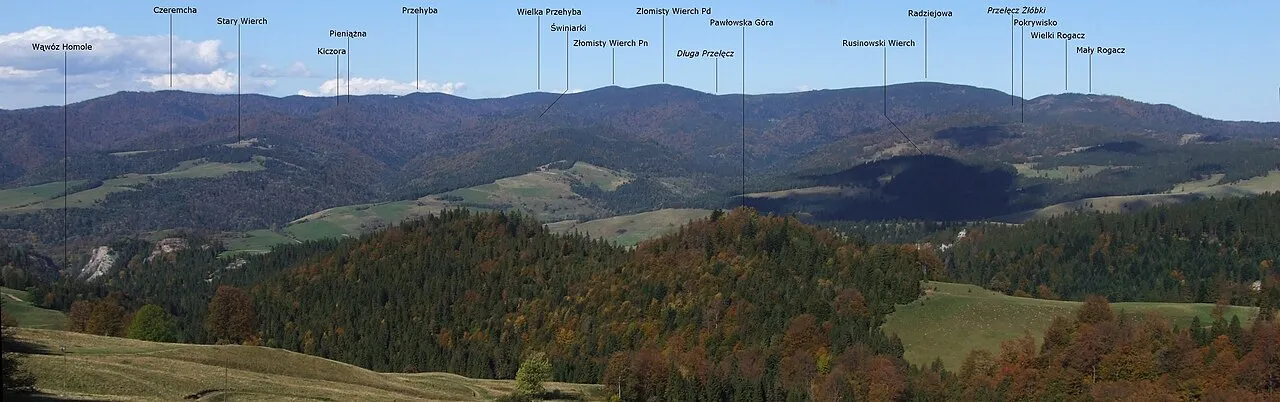
- Elevation
- 521 m
- above sea level
- Local time
- UTC+01:00
- Europe/Warsaw · UTC+01:00
About Beskid Sądecki
Beskid Sądecki is a mountain. Location: Lesser Poland Voivodeship, Poland. Elevation: 521 m.
Beskid Sądecki is a mountain range in the eastern section of the Western Beskids, within the Outer Western Carpathians. It is located in the border region between Poland and Slovakia. On the Polish side, it stretches along an area of 670 km², between the Dunajec river in the west and the valleys of the Kamienica Nawojowska river, Mochnaczka, Muszynka, Przełęcz Tylicka in the east. The highest peak of the mountain range is Radziejowa at 1262 metres. The mountains are built from flysch rocks.
Read more on Wikipedia Text: Wikipedia contributors · CC BY-SA 4.0 · shortened
In comparison
- No. 722 of 887 mountains in Poland by elevation
- 8 sights and natural places within 10 km Pisana Hala, Wierch nad Kamieniem
Nearest towns and villages
-
Piwniczna-Zdrój Town, Gmina Piwniczna-Zdrój2.8 km W
-
Gmina Piwniczna-Zdrój Municipality, Nowy Sącz County6 km W
-
Gmina Rytro Municipality, Nowy Sącz County7.7 km W
-
Rytro Village, Gmina Rytro7.5 km NW
-
Nawojowa Municipality, Nowy Sącz County8.7 km N
-
Barnowiec Village, Gmina Łabowa6.6 km N
Nearby attractions & nature
Everything nearby-
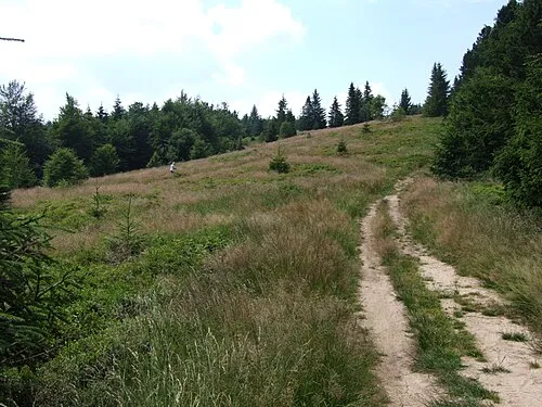 Pisana Hala Mountain, Gmina Piwniczna-Zdrój3.4 km N
-
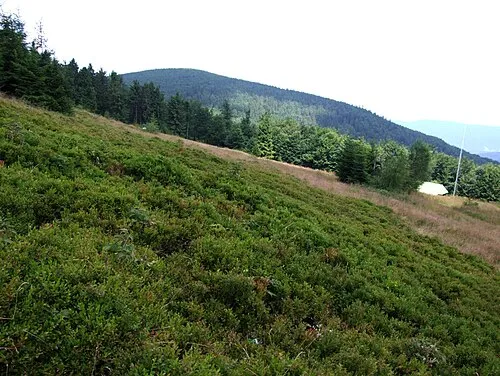 Wierch nad Kamieniem Mountain, Gmina Łabowa5.1 km NE
-
Pasmo Jaworzyny Mountain, Lesser Poland Voivodeship6.1 km SE
-
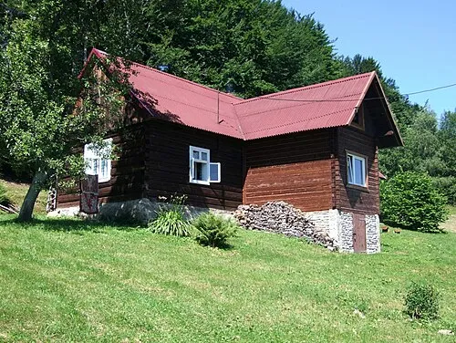 Kordowiec Mountain, Gmina Piwniczna-Zdrój6.1 km W
-
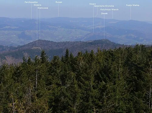 Niemcowa Mountain, Gmina Piwniczna-Zdrój7.5 km W
-
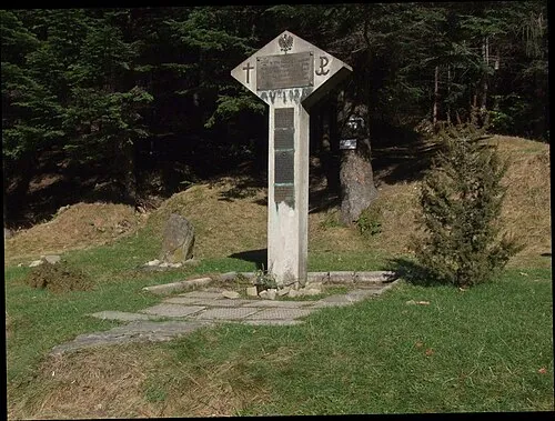 Ostra Mountain, Nawojowa7.5 km N
-
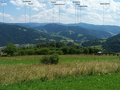 Runek Mountain, Gmina Muszyna9 km E
-
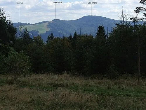 Pusta Wielka Mountain, Gmina Muszyna7.4 km SE
More nature in Poland
-
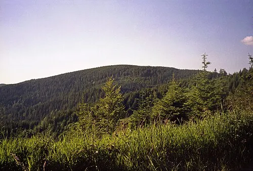 Radziejowa Mountain, Szczawnica11 km W
-
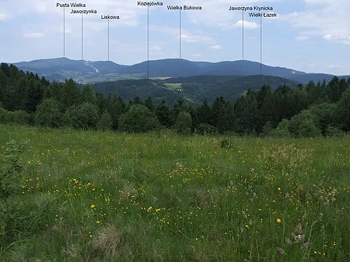 Jaworzyna Krynicka Mountain, Gmina Muszyna11 km E
-
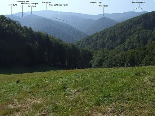 Magurzyca Mountain, Gmina Rytro11 km W
-
Niżny Margoń Mountain, Gmina Łabowa11 km NE
-
Przysłop Mountain, Krynica-Zdrój11 km E
-
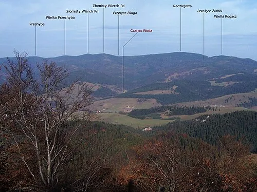 Złomisty Wierch Mountain, Gmina Rytro13 km W
Sources & licences
Data last updated: · 2 independent sources