Gmina Stryszawa
Located in Sucha County, Lesser Poland Voivodeship Coordinates: 49°43′42″ N 19°28′18″ E
- Population
- 11,843
- 11.8K
- Elevation
- 466 m
- above sea level
- Local time
- UTC+01:00
- Europe/Warsaw · UTC+01:00
- Places inside
- 11
- listed under Gmina Stryszawa
About Gmina Stryszawa
Gmina Stryszawa is a municipality. Location: Sucha County, Lesser Poland Voivodeship. Population: 11,843. Elevation: 466 m.
In comparison
- No. 2 of 9 places in Sucha County by population
- Nearest larger town: Gmina Maków Podhalański, 14 km E
- 14 sights and natural places within 10 km Żurawnica, Smerkowiec
- Listed here: Village: 7, Mountain: 3, Town: 1
Airports nearest to Gmina Stryszawa
- Kraków John Paul II International Airport (KRK) Balice 45 km
- Katowice Wojciech Korfanty International Airport (KTW) Katowice 88 km
- Poprad-Tatry Airport (TAT) Poprad 92 km
Straight-line distance; airports with scheduled flights only. Source: OurAirports (public domain).
Places in Gmina Stryszawa
11 placesNearby attractions & nature
Everything nearby-
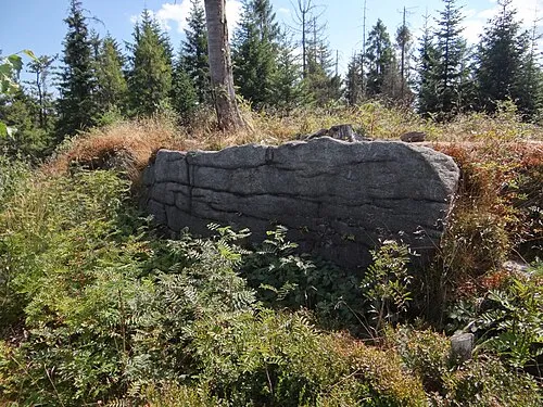 Smerkowiec Mountain, Silesian Voivodeship6.1 km NW
-
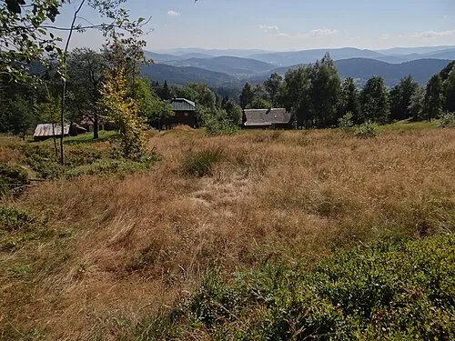 Pietrasowa Mountain, Ślemień6.3 km W
-
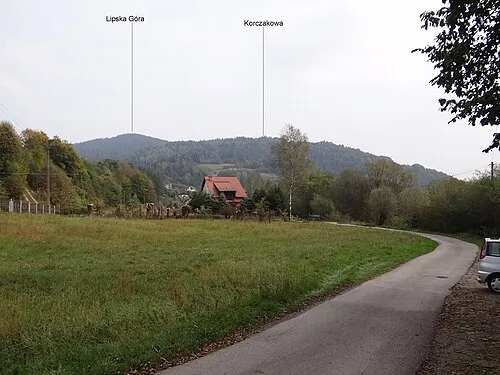 Lipska Góra Mountain, Sucha Beskidzka6.4 km E
-
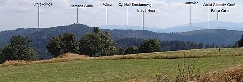 Mlada Hora Mountain, Ślemień6.5 km NW
-
Na Beskidzie Mountain, Lesser Poland Voivodeship6.5 km NW
-
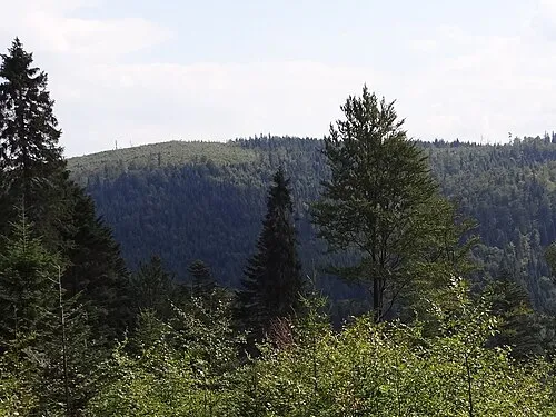 Wielki Gibasów Groń Mountain, Ślemień6.6 km NW
-
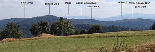 Madohora Mountain, Ślemień6.8 km NW
-
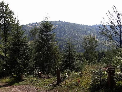 Gibasówka Mountain, Ślemień7.8 km W
Sources & licences
Data last updated: