Wadowice
Located in Wadowice County, Lesser Poland Voivodeship Coordinates: 49°53′03″ N 19°29′43″ E
- Population
- 37,933
- 37.9K
- Elevation
- 262 m
- above sea level
- Local time
- UTC+01:00
- Europe/Warsaw · UTC+01:00
- Places inside
- 9
- listed under Wadowice
About Wadowice
Wadowice is a municipality. Location: Wadowice County, Lesser Poland Voivodeship. Population: 37,933. Elevation: 262 m.
In comparison
- No. 2 of 10 places in Wadowice County by population
- Nearest larger town: Andrychów, 12 km W
- 2 sights and natural places within 10 km Wadowice Ghetto, Wielki Dział
- Listed here: Village: 6, Historic site: 1, Neighbourhood: 1, Town: 1
Places in Wadowice
9 places-
Chocznia Town5.5K
-
Klecza Dolna Village2.2K
-
Jaroszowice Village1.7K
-
Wysoka Village1.5K
-
Ponikiew Village1.2K
-
Stanisław Górny Village1K
-
Barwałd Dolny Neighbourhood732
-
Klecza Górna Village716
-
Wadowice Ghetto Historic site
Nearby attractions & nature
Everything nearby-
Wielki Dział Mountain, Wieprz8.5 km W
-
Andrychów Ghetto Historic site, Andrychów11 km W
-
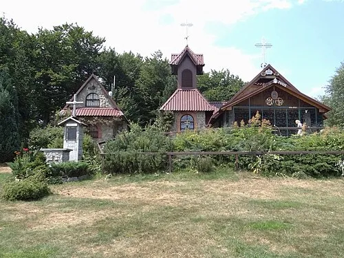 Groń Jana Pawła II Mountain, Gmina Stryszawa11 km S
-
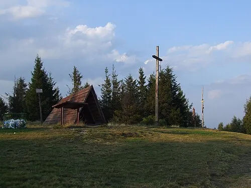 Leskowiec Mountain, Gmina Stryszawa11 km S
-
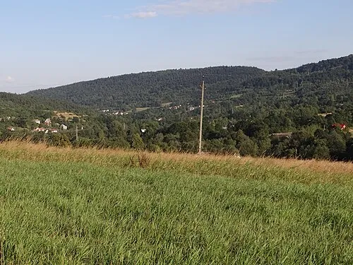 Prorokowa Góra Mountain, Zembrzyce14 km S
-
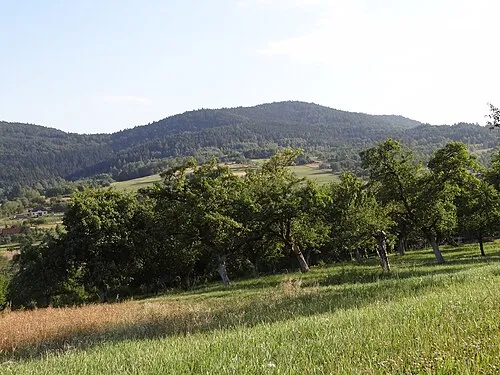 Żurawnica Mountain, Gmina Stryszawa14 km S
-
Na Beskidzie Mountain, Lesser Poland Voivodeship14 km SW
-
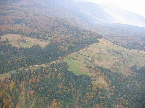 Potrójna Mountain, Silesian Voivodeship15 km SW
Sources & licences
Data last updated: